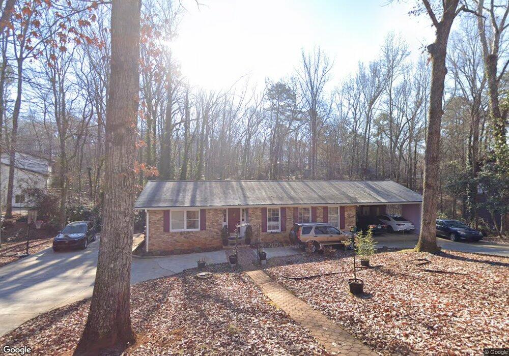
570 Caldwell Cir Athens, GA 30605
Estimated Value: $339,000 - $382,000
Studio
--
Bath
2,886
Sq Ft
$123/Sq Ft
Est. Value
About This Home
This home is located at 570 Caldwell Cir, Athens, GA 30605 and is currently estimated at $354,616, approximately $122 per square foot. 570 Caldwell Cir is a home located in Clarke County with nearby schools including Barnett Shoals Elementary School, Hilsman Middle School, and Cedar Shoals High School.
Ownership History
Date
Name
Owned For
Owner Type
Purchase Details
Closed on
Jul 19, 2019
Sold by
Jeyaretnam Benjamin
Bought by
Jeyaretnam Ranjinie
Current Estimated Value
Purchase Details
Closed on
Jul 1, 1998
Sold by
Miller Careen H
Bought by
Jeyaretnam Benjamin S and Jeyaretnam Easwaren
Purchase Details
Closed on
Jun 9, 1994
Sold by
Fisher Susan K and Allen Fisher M
Bought by
Miller Careen H
Purchase Details
Closed on
Aug 31, 1990
Sold by
Gordon Margaret T
Bought by
Fisher Susan K and Allen Fisher M
Create a Home Valuation Report for This Property
The Home Valuation Report is an in-depth analysis detailing your home's value as well as a comparison with similar homes in the area
Purchase History
| Date | Buyer | Sale Price | Title Company |
|---|---|---|---|
| Jeyaretnam Ranjinie | -- | -- | |
| Jeyaretnam Benjamin S | $123,500 | -- | |
| Miller Careen H | $84,000 | -- | |
| Fisher Susan K | $79,900 | -- |
Source: Public Records
Tax History
| Year | Tax Paid | Tax Assessment Tax Assessment Total Assessment is a certain percentage of the fair market value that is determined by local assessors to be the total taxable value of land and additions on the property. | Land | Improvement |
|---|---|---|---|---|
| 2025 | $3,965 | $127,682 | $12,000 | $115,682 |
| 2024 | $3,965 | $107,746 | $12,000 | $95,746 |
| 2023 | $3,367 | $99,412 | $12,000 | $87,412 |
| 2022 | $2,697 | $84,559 | $12,000 | $72,559 |
| 2021 | $2,365 | $70,175 | $12,000 | $58,175 |
| 2020 | $2,179 | $64,663 | $12,000 | $52,663 |
| 2019 | $1,775 | $62,290 | $12,000 | $50,290 |
| 2018 | $1,694 | $59,883 | $12,000 | $47,883 |
| 2017 | $1,416 | $51,709 | $12,000 | $39,709 |
| 2016 | $1,416 | $51,704 | $12,000 | $39,704 |
| 2015 | $1,432 | $52,119 | $12,000 | $40,119 |
| 2014 | $1,482 | $53,503 | $12,000 | $41,503 |
Source: Public Records
Map
Nearby Homes
- 145 Phinizy Ln
- 119 Pine Ridge Trace
- 1055 College Station Rd
- 431 College Cir
- 206 College Cir
- 365 Whitehall Rd
- 369 Whitehall Rd
- 259 Wakefield Trace
- 2535 Barnett Shoals Rd
- 265 Center Park Ln
- 400 Ansley Dr
- 236 Oconee River Cir
- 223 Oconee River Cir
- 106 Fernbanks Ct
- 108 Winthrop Ct
- 134 Fernbanks Ct
- 150 Rumson Rd
- 120 Sterling Dr
- 450 Ansley Dr
- 585 White Cir Unit 402
- 590 Caldwell Cir
- 560 Caldwell Cir
- 575 Caldwell Cir
- 594 Caldwell Cir
- 585 Caldwell Cir
- 190 Watson Dr
- 565 Caldwell Cir
- 330 Segrest Cir
- 300 Segrest Cir
- 555 Caldwell Cir
- 595 Caldwell Cir
- 165 Watson Dr
- 180 Watson Dr
- 169 Stafford Dr
- 360 Segrest Cir
- 175 Stafford Dr
- 163 Stafford Dr
- 157 Stafford Dr
- 270 Segrest Cir
- 295 Segrest Cir
Your Personal Tour Guide
Ask me questions while you tour the home.