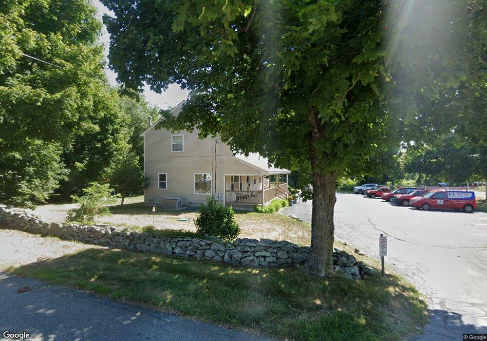
570 Winthrop St Rehoboth, MA 02769
Estimated Value: $936,135
2
Beds
2
Baths
2,348
Sq Ft
$399/Sq Ft
Est. Value
About This Home
This home is located at 570 Winthrop St, Rehoboth, MA 02769 and is currently estimated at $936,135, approximately $398 per square foot. 570 Winthrop St is a home located in Bristol County with nearby schools including Dighton-Rehoboth Regional High School, St Margaret School, and Cedar Brook School.
Ownership History
Date
Name
Owned For
Owner Type
Purchase Details
Closed on
Oct 15, 2008
Sold by
Hamilton Joseph E and Hamilton Elizabeth A
Bought by
Sidok Llc
Current Estimated Value
Home Financials for this Owner
Home Financials are based on the most recent Mortgage that was taken out on this home.
Original Mortgage
$352,000
Outstanding Balance
$233,848
Interest Rate
6.41%
Mortgage Type
Commercial
Estimated Equity
$702,287
Purchase Details
Closed on
Sep 29, 1998
Sold by
Blanding Road Rt and Sidok Henry C
Bought by
Hamilton Joseph E and Hamilton Elizabeth A
Create a Home Valuation Report for This Property
The Home Valuation Report is an in-depth analysis detailing your home's value as well as a comparison with similar homes in the area
Home Values in the Area
Average Home Value in this Area
Purchase History
| Date | Buyer | Sale Price | Title Company |
|---|---|---|---|
| Sidok Llc | $440,000 | -- | |
| Hamilton Joseph E | $55,000 | -- |
Source: Public Records
Mortgage History
| Date | Status | Borrower | Loan Amount |
|---|---|---|---|
| Open | Sidok Llc | $352,000 | |
| Previous Owner | Hamilton Joseph E | $148,000 |
Source: Public Records
Tax History
| Year | Tax Paid | Tax Assessment Tax Assessment Total Assessment is a certain percentage of the fair market value that is determined by local assessors to be the total taxable value of land and additions on the property. | Land | Improvement |
|---|---|---|---|---|
| 2025 | $53 | $478,100 | $148,200 | $329,900 |
| 2024 | $5,204 | $458,100 | $137,400 | $320,700 |
| 2023 | $5,893 | $461,600 | $137,400 | $324,200 |
| 2022 | $5,893 | $465,100 | $137,400 | $327,700 |
| 2021 | $6,203 | $468,500 | $137,400 | $331,100 |
| 2020 | $6,193 | $472,000 | $137,400 | $334,600 |
| 2018 | $5,424 | $453,100 | $137,400 | $315,700 |
| 2017 | $5,651 | $449,900 | $137,400 | $312,500 |
| 2016 | $5,466 | $449,900 | $137,400 | $312,500 |
| 2015 | $5,664 | $460,100 | $190,200 | $269,900 |
| 2014 | $5,724 | $460,100 | $190,200 | $269,900 |
Source: Public Records
Map
Nearby Homes
- 48 Broad St
- 23 Colonial Way
- 7 Ciana Rd
- 67 Wheeler St
- 44 Hope St
- 267 Chestnut St
- 15 Hickory Ridge Rd
- 9 Wedge Way
- 0 Winter St
- 100 Bradley St
- 111 Summer St
- 20 School St
- 9 Tammy Jean Dr
- 377 Read St
- 702 Arcade Ave
- 8 Agawam Ct
- 155 Sagamore Rd
- 209 Providence St Bldr Lot 1
- 205 Providence St Bldr Lot 3
- 203 Providence St Bldr Lot 5
- 44 Blanding Rd
- 37 Blanding Rd Unit 39
- 569 Winthrop St
- 569 Winthrop St Unit 2
- 569 Winthrop St Unit 3
- 569 Winthrop St Unit 1
- 576 Winthrop St
- 578 Winthrop St
- 36 Blanding Rd
- 55 Blanding Rd
- 52 Blanding Rd
- 54 Blanding Rd
- 34 Blanding Rd
- 56 Blanding Rd
- 59 Blanding Rd
- 582 Winthrop St
- 58 Blanding Rd
- 30 Blanding Rd
- 584 Winthrop St
- 27 Blanding Rd
Your Personal Tour Guide
Ask me questions while you tour the home.