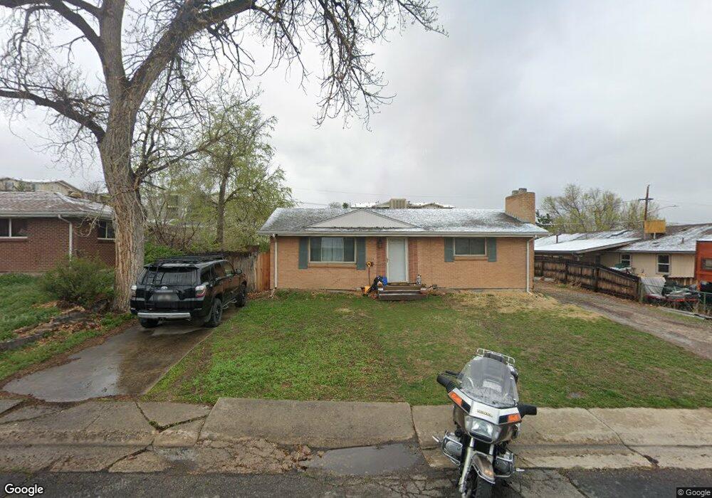
5705 Johnson St Arvada, CO 80002
Arvada Plaza Area NeighborhoodEstimated Value: $472,000 - $554,961
About This Home
This home is located at 5705 Johnson St, Arvada, CO 80002 and is currently estimated at $500,990, approximately $274 per square foot. 5705 Johnson St is a home located in Jefferson County with nearby schools including North Arvada Middle School, Arvada High School, and Prospect Academy.
Ownership History
We collect this data history from publicly available records. To have your information removed, we recommend requesting removal directly through your county’s website.
Purchase Details
Home Financials for this Owner
Home Financials are based on the most recent Mortgage that was taken out on this home.Home Values in the Area
Average Home Value in this Area
Purchase History
We collect this data history from publicly available records. To have your information removed, we recommend requesting removal directly through your county’s website.
| Date | Buyer | Sale Price | Title Company |
|---|---|---|---|
| $185,000 | North American Title |
Mortgage History
We collect this data history from publicly available records. To have your information removed, we recommend requesting removal directly through your county’s website.
| Date | Status | Borrower | Loan Amount |
|---|---|---|---|
| Open | $39,890 | ||
| Open | $175,750 | ||
| Previous Owner | $37,000 | ||
| Previous Owner | $113,500 | ||
| Previous Owner | $25,000 |
Tax History
We collect this data history from publicly available records. To have your information removed, we recommend requesting removal directly through your county’s website.
| Year | Tax Paid | Tax Assessment Tax Assessment Total Assessment is a certain percentage of the fair market value that is determined by local assessors to be the total taxable value of land and additions on the property. | Land | Improvement |
|---|---|---|---|---|
| 2025 | $3,295 | $31,950 | $14,007 | $17,943 |
| 2024 | $3,000 | $30,928 | $18,269 | $12,659 |
| 2023 | $3,000 | $30,928 | $18,269 | $12,659 |
| 2022 | $2,633 | $26,885 | $11,060 | $15,825 |
| 2021 | $2,677 | $27,659 | $11,379 | $16,280 |
| 2020 | $2,410 | $24,973 | $9,848 | $15,125 |
| 2019 | $2,377 | $24,973 | $9,848 | $15,125 |
| 2018 | $2,002 | $20,451 | $6,208 | $14,243 |
| 2017 | $1,833 | $20,451 | $6,208 | $14,243 |
| 2016 | $1,661 | $17,455 | $5,539 | $11,916 |
| 2015 | $1,464 | $17,455 | $5,539 | $11,916 |
| 2014 | $1,464 | $14,456 | $4,872 | $9,584 |
Map
- 5667 Johnson St
- 5628 Jellison St
- 9609 W 57th Ave
- 10089 W 55th Dr Unit 104
- 9920 W 54th Ave
- 9457 W 56th Place
- 10018 W 60th Ave
- 9500 W 54th Place
- 5592 Independence St
- 6010 Johnson Way
- 5870 Nelson Ct
- 5536 Lewis Ct Unit 104
- 5537 Lewis Ct Unit 4
- 6730 W 54th Ave
- 5530 Holland Dr
- 6033 Hoyt Ct
- 10350 W 55th Ln Unit 101
- 10350 W 55th Ln Unit 4
- 9200 Grandview Ave
- 6000 Hoyt St
- 5703 Johnson St
- 5708 Johnson St
- 5702 Johnson St
- 5714 Johnson St
- 5672 Johnson St
- 5750 Kipling St
- 9819 W 57th Place
- 5661 Johnson St
- 5707 Jellison St
- 9813 W 57th Place
- 5701 Jellison St
- 5713 Jellison St
- 5669 Jellison St
- 5662 Johnson St
- 9807 W 57th Place
- 5663 Jellison St
- 5655 Johnson St
- 5656 Johnson St
- 5657 Jellison St
- 9801 W 57th Place
Ask me questions while you tour the home.