Estimated Value: $329,604 - $381,000
3
Beds
2
Baths
1,794
Sq Ft
$196/Sq Ft
Est. Value
About This Home
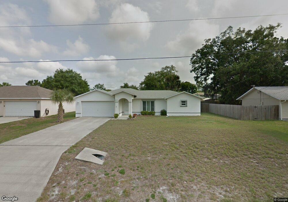
This home is located at 5710 Ada St, Cocoa, FL 32927 and is currently estimated at $351,901, approximately $196 per square foot. 5710 Ada St is a home located in Brevard County with nearby schools including Enterprise Elementary School, Space Coast Junior/Senior High School, and East Atlantic Prep of Brevard County.
Ownership History
Date
Name
Owned For
Owner Type
Purchase Details
Closed on
May 17, 2004
Sold by
Slush Robert A and Slush Mary B
Bought by
Thompson Allen L
Current Estimated Value
Purchase Details
Closed on
Oct 22, 2001
Sold by
Messer Const Corp
Bought by
Slush Robert A and Slush Mary B
Home Financials for this Owner
Home Financials are based on the most recent Mortgage that was taken out on this home.
Original Mortgage
$80,500
Interest Rate
6.85%
Purchase Details
Closed on
Dec 31, 2000
Sold by
Kingfisher Fin Inc
Bought by
Messer Const Corp
Create a Home Valuation Report for This Property
The Home Valuation Report is an in-depth analysis detailing your home's value as well as a comparison with similar homes in the area
Home Values in the Area
Average Home Value in this Area
Purchase History
| Date | Buyer | Sale Price | Title Company |
|---|---|---|---|
| Thompson Allen L | $150,000 | Fidelity National Title Insu | |
| Slush Robert A | $115,000 | -- | |
| Messer Const Corp | $10,000 | -- |
Source: Public Records
Mortgage History
| Date | Status | Borrower | Loan Amount |
|---|---|---|---|
| Previous Owner | Slush Robert A | $80,500 |
Source: Public Records
Tax History
| Year | Tax Paid | Tax Assessment Tax Assessment Total Assessment is a certain percentage of the fair market value that is determined by local assessors to be the total taxable value of land and additions on the property. | Land | Improvement |
|---|---|---|---|---|
| 2025 | $1,487 | $108,980 | -- | -- |
| 2024 | $1,450 | $105,910 | -- | -- |
| 2023 | $1,450 | $102,830 | $0 | $0 |
| 2022 | $1,352 | $99,840 | $0 | $0 |
| 2021 | $1,351 | $96,940 | $0 | $0 |
| 2020 | $1,288 | $95,610 | $0 | $0 |
| 2019 | $1,224 | $93,470 | $0 | $0 |
| 2018 | $1,217 | $91,730 | $0 | $0 |
| 2017 | $1,210 | $89,850 | $0 | $0 |
| 2016 | $1,211 | $88,010 | $18,000 | $70,010 |
| 2015 | $1,225 | $87,400 | $15,000 | $72,400 |
| 2014 | $1,226 | $86,710 | $11,000 | $75,710 |
Source: Public Records
Map
Nearby Homes
- 5721 Beaverbrook St
- 5680 Banos Ave
- 6481 La Brea Ave
- 6460 Ainsworth Rd
- 0 Aruin St Unit 1222557
- 6438 Hudson Rd
- 6581 Bancroft Ave
- 6643 Emil Ave
- 23-35-21-JX-B-2 Aruin St
- 6250 Ainsworth Rd
- 6460 Homestead Ave
- 6545 Addie Ave
- 6615 Dock Ave
- 6450 Ember Ave
- 5614 Jamaica Rd
- 5280 Fruitport St
- 6135 Allmont St
- 6085 Edison St
- 6760 Cairo Rd
- 00 Unknown
- 5698 Ada St
- 5722 Ada St
- 5709 Beaverbrook St
- 5697 Beaverbrook St
- 5686 Ada St
- 5734 Ada St
- 5711 Ada St
- 5723 Ada St
- 5685 Beaverbrook St
- 5687 Ada St
- 5735 Ada St
- 5674 Ada St
- 5673 Beaverbrook St
- 5746 Ada St
- 5675 Ada St
- 5708 Beaverbrook St
- 5730 Banos Ave
- 5720 Banos Ave
- 5720 Beaverbrook St
- 5696 Beaverbrook St
Your Personal Tour Guide
Ask me questions while you tour the home.