5712 Keith Dr High Ridge, MO 63049
Estimated Value: $181,000 - $214,295
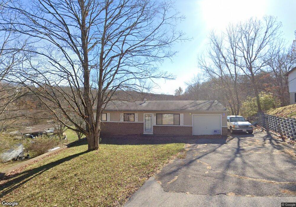
About This Home
This home is located at 5712 Keith Dr, High Ridge, MO 63049 and is currently estimated at $196,074, approximately $226 per square foot. 5712 Keith Dr is a home located in Jefferson County with nearby schools including Northwest High School and St. Anthony School.
Ownership History
We collect this data history from publicly available records. To have your information removed, we recommend requesting removal directly through your county’s website.
Purchase Details
Purchase Details
Purchase Details
Home Financials for this Owner
Home Financials are based on the most recent Mortgage that was taken out on this home.Home Values in the Area
Average Home Value in this Area
Purchase History
We collect this data history from publicly available records. To have your information removed, we recommend requesting removal directly through your county’s website.
| Date | Buyer | Sale Price | Title Company |
|---|---|---|---|
| -- | Continental Title Company | ||
| $44,000 | None Available | ||
| -- | First American Title |
Mortgage History
We collect this data history from publicly available records. To have your information removed, we recommend requesting removal directly through your county’s website.
| Date | Status | Borrower | Loan Amount |
|---|---|---|---|
| Closed | $97,975 |
Tax History
We collect this data history from publicly available records. To have your information removed, we recommend requesting removal directly through your county’s website.
| Year | Tax Paid | Tax Assessment Tax Assessment Total Assessment is a certain percentage of the fair market value that is determined by local assessors to be the total taxable value of land and additions on the property. | Land | Improvement |
|---|---|---|---|---|
| 2025 | $1,011 | $15,200 | $1,500 | $13,700 |
| 2024 | $1,011 | $14,000 | $1,500 | $12,500 |
| 2023 | $1,011 | $14,000 | $1,500 | $12,500 |
| 2022 | $1,006 | $14,000 | $1,500 | $12,500 |
| 2021 | $1,000 | $14,000 | $1,500 | $12,500 |
| 2020 | $915 | $12,500 | $1,200 | $11,300 |
| 2019 | $914 | $12,500 | $1,200 | $11,300 |
| 2018 | $926 | $12,500 | $1,200 | $11,300 |
| 2017 | $846 | $12,500 | $1,200 | $11,300 |
| 2016 | $785 | $11,500 | $1,300 | $10,200 |
| 2015 | $807 | $11,500 | $1,300 | $10,200 |
| 2013 | -- | $11,200 | $1,300 | $9,900 |
Map
- 2 Pines
- 2135 Linnus Dr
- 2149 Linnus Dr
- 2060 Hillsboro Valley Park Rd
- 147 Brandy Mill Cir Unit 25E
- 151 Brandy Mill Cir Unit F
- 2305 Chelsea Ct
- 104 Brandy Mill Cir Unit C
- 5412 Harter Farms Manor
- 2469 Wild Valley Dr
- 2552 Somerville Dr
- 2533 Belmont Dr
- 2371 Crestview Dr
- 2673 Cathy Ann Dr
- 2710 Wild Valley Dr
- 2609 Forest Ln
- 5736 La Trace Ln
- 1599 Paradise Valley Dr
- TBD State Route 30
- 2 Maple at Whispering Pines
Ask me questions while you tour the home.