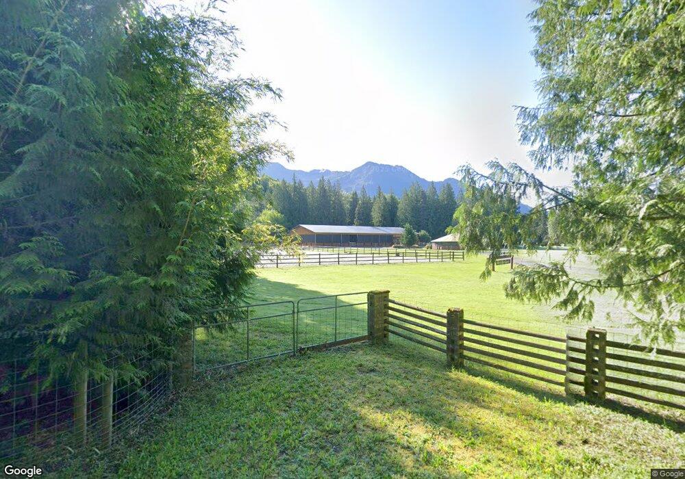
5714 N Fork Rd Deming, WA 98244
Estimated Value: $1,383,000 - $1,436,526
4
Beds
2
Baths
3,814
Sq Ft
$370/Sq Ft
Est. Value
About This Home
This home is located at 5714 N Fork Rd, Deming, WA 98244 and is currently estimated at $1,409,763, approximately $369 per square foot. 5714 N Fork Rd is a home located in Whatcom County with nearby schools including Mount Baker Senior High School.
Ownership History
Date
Name
Owned For
Owner Type
Purchase Details
Closed on
Sep 18, 2013
Sold by
Ellis Wesley and Ellis Laura Christian
Bought by
Snowy Peak Llc
Current Estimated Value
Purchase Details
Closed on
Aug 8, 2012
Sold by
Eoff Fred R
Bought by
Ellis Wesley and Ellis Laura Christian
Home Financials for this Owner
Home Financials are based on the most recent Mortgage that was taken out on this home.
Original Mortgage
$400,960
Interest Rate
3.56%
Mortgage Type
Purchase Money Mortgage
Create a Home Valuation Report for This Property
The Home Valuation Report is an in-depth analysis detailing your home's value as well as a comparison with similar homes in the area
Purchase History
| Date | Buyer | Sale Price | Title Company |
|---|---|---|---|
| Snowy Peak Llc | -- | None Available | |
| Ellis Wesley | $540,280 | First American Title Ins |
Source: Public Records
Mortgage History
| Date | Status | Borrower | Loan Amount |
|---|---|---|---|
| Previous Owner | Ellis Wesley | $400,960 |
Source: Public Records
Tax History
| Year | Tax Paid | Tax Assessment Tax Assessment Total Assessment is a certain percentage of the fair market value that is determined by local assessors to be the total taxable value of land and additions on the property. | Land | Improvement |
|---|---|---|---|---|
| 2025 | $5,780 | $1,060,995 | $333,746 | $727,249 |
| 2024 | $4,702 | $1,041,597 | $332,086 | $709,511 |
| 2023 | $4,702 | $1,307,410 | $719,270 | $588,140 |
| 2022 | $3,889 | $1,071,622 | $589,551 | $482,071 |
| 2021 | $3,725 | $864,203 | $475,440 | $388,763 |
| 2020 | $3,458 | $341,231 | $11,772 | $329,459 |
| 2019 | $3,103 | $645,275 | $354,997 | $290,278 |
| 2018 | $3,893 | $289,867 | $10,000 | $279,867 |
| 2017 | $3,530 | $284,168 | $11,520 | $272,648 |
| 2016 | $3,410 | $274,302 | $11,120 | $263,182 |
| 2015 | $3,199 | $261,968 | $10,620 | $251,348 |
| 2014 | -- | $274,247 | $37,573 | $236,674 |
| 2013 | -- | $272,146 | $35,472 | $236,674 |
Source: Public Records
Map
Nearby Homes
- 5566 Williams Lake Rd
- 5242 Scarlett Way
- 6373 Eastwood Rd
- 0 Mt Baker Hwy Unit NWM2371192
- 0 Mt Baker Hwy Unit NWM2489013
- 10211 Mount Baker Hwy
- 4730 Mt Baker Hwy
- 11 5 Big River Blvd SW
- 6483 Mt Baker Hwy
- 145 Div 5 Big River Blvd W
- 169 1 Fireside Lodge Cir
- 10 Riverside Dr
- 140 6 Chanterelle Dr
- 205 6 Chanterelle Dr
- 164 6 Chanterelle Dr
- 4126 Caron Rd
- 78 Goldrush Rd
- 245 Schinn Canyon Ct
- 263 6 Schinn Canyon Ct
- 25 1 Goldrush Rd
Your Personal Tour Guide
Ask me questions while you tour the home.