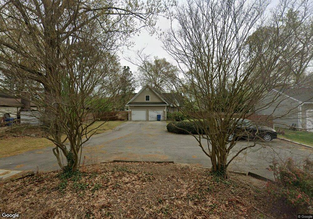
5717 Ranger St Virginia Beach, VA 23464
Kempsville NeighborhoodEstimated Value: $517,000 - $608,000
4
Beds
2
Baths
2,334
Sq Ft
$234/Sq Ft
Est. Value
About This Home
This home is located at 5717 Ranger St, Virginia Beach, VA 23464 and is currently estimated at $545,673, approximately $233 per square foot. 5717 Ranger St is a home located in Virginia Beach City with nearby schools including Woodstock Elementary School, Kempsville Middle School, and Kempsville High School.
Ownership History
Date
Name
Owned For
Owner Type
Purchase Details
Closed on
Aug 8, 2001
Sold by
Talley Robert F
Bought by
Poland Joseph F
Current Estimated Value
Home Financials for this Owner
Home Financials are based on the most recent Mortgage that was taken out on this home.
Original Mortgage
$152,000
Outstanding Balance
$59,078
Interest Rate
7.1%
Estimated Equity
$486,595
Create a Home Valuation Report for This Property
The Home Valuation Report is an in-depth analysis detailing your home's value as well as a comparison with similar homes in the area
Home Values in the Area
Average Home Value in this Area
Purchase History
| Date | Buyer | Sale Price | Title Company |
|---|---|---|---|
| Poland Joseph F | $190,000 | -- |
Source: Public Records
Mortgage History
| Date | Status | Borrower | Loan Amount |
|---|---|---|---|
| Open | Poland Joseph F | $152,000 |
Source: Public Records
Tax History
| Year | Tax Paid | Tax Assessment Tax Assessment Total Assessment is a certain percentage of the fair market value that is determined by local assessors to be the total taxable value of land and additions on the property. | Land | Improvement |
|---|---|---|---|---|
| 2025 | $4,288 | $464,300 | $153,000 | $311,300 |
| 2024 | $4,288 | $442,100 | $153,000 | $289,100 |
Source: Public Records
Map
Nearby Homes
- 5721 Oak Terrace Dr
- 733 Woodstock Rd
- 5536 Old Providence Rd
- 5561 Old Providence Rd
- 806 Westport Place
- 5924 Woodstock Ct
- 540 Sterling Rd
- 5801 Lord Harrison Ct
- 5437 Hargrove Blvd
- 1029 Fireside Ln
- 945 Redwood Cir
- 5410 Old Providence Rd
- 6112 Partridge Dr
- 500 Sterling Rd
- 1116 Taylor Rd
- 5805 Goolagong Dr
- 625 Cardamon Ct
- 1050 Commonwealth Place
- 608 Cardamon Ct
- 1048 Taylor Rd
- 5721 Ranger St
- 5713 Ranger St
- 5725 Ranger St
- 5709 Ranger St
- 5720 Warning St
- 5716 Warning St
- 5716 Ranger St
- 5724 Warning St
- 5720 Ranger St
- 5712 Ranger St
- 5712 Warning St
- 5729 Ranger St
- 5705 Ranger St
- 5724 Ranger St
- 5708 Ranger St
- 5728 Warning St
- 5708 Warning St
- 5728 Ranger St
- 5704 Ranger St
- 749 Avalon Ave
Your Personal Tour Guide
Ask me questions while you tour the home.