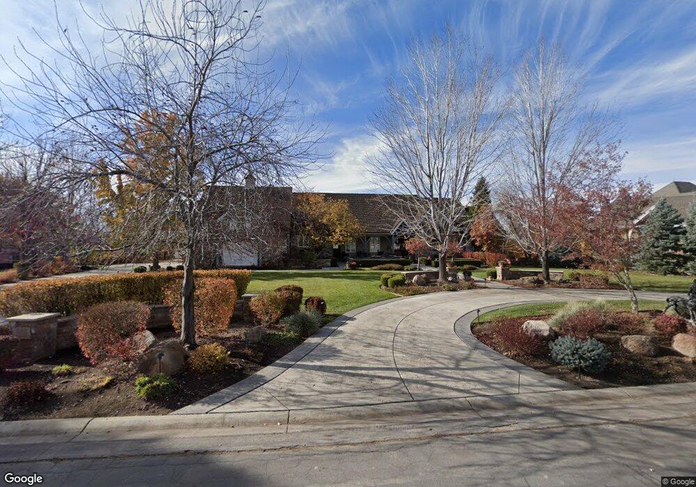
572 S 700 W Mapleton, UT 84664
Estimated Value: $998,000 - $1,357,742
3
Beds
4
Baths
2,244
Sq Ft
$527/Sq Ft
Est. Value
About This Home
This home is located at 572 S 700 W, Mapleton, UT 84664 and is currently estimated at $1,182,247, approximately $526 per square foot. 572 S 700 W is a home located in Utah County with nearby schools including Mapleton School, Mapleton Junior High School, and Maple Mountain High School.
Ownership History
Date
Name
Owned For
Owner Type
Purchase Details
Closed on
Mar 13, 2015
Sold by
Dickerson Family Llc
Bought by
Thorpe Peter and Thorpe Kathleen
Current Estimated Value
Home Financials for this Owner
Home Financials are based on the most recent Mortgage that was taken out on this home.
Original Mortgage
$80,400
Outstanding Balance
$61,510
Interest Rate
3.65%
Mortgage Type
Purchase Money Mortgage
Estimated Equity
$1,120,737
Purchase Details
Closed on
Feb 15, 2007
Sold by
Silver Leafe Cove Llc
Bought by
Dickerson Family Llc
Create a Home Valuation Report for This Property
The Home Valuation Report is an in-depth analysis detailing your home's value as well as a comparison with similar homes in the area
Home Values in the Area
Average Home Value in this Area
Purchase History
| Date | Buyer | Sale Price | Title Company |
|---|---|---|---|
| Thorpe Peter | -- | United West Title | |
| Dickerson Family Llc | -- | Utah First Title Insurance |
Source: Public Records
Mortgage History
| Date | Status | Borrower | Loan Amount |
|---|---|---|---|
| Open | Thorpe Peter | $80,400 |
Source: Public Records
Tax History
| Year | Tax Paid | Tax Assessment Tax Assessment Total Assessment is a certain percentage of the fair market value that is determined by local assessors to be the total taxable value of land and additions on the property. | Land | Improvement |
|---|---|---|---|---|
| 2025 | $6,067 | $686,290 | -- | -- |
| 2024 | $6,067 | $594,330 | $0 | $0 |
| 2023 | $6,204 | $611,545 | $0 | $0 |
| 2022 | $6,234 | $607,640 | $0 | $0 |
| 2021 | $5,360 | $802,200 | $247,800 | $554,400 |
| 2020 | $5,198 | $752,400 | $219,300 | $533,100 |
| 2019 | $3,963 | $585,500 | $219,300 | $366,200 |
| 2018 | $3,732 | $524,900 | $187,300 | $337,600 |
| 2017 | $3,766 | $281,160 | $0 | $0 |
| 2016 | $2,415 | $179,190 | $0 | $0 |
| 2015 | $1,796 | $132,500 | $0 | $0 |
| 2014 | $1,702 | $123,300 | $0 | $0 |
Source: Public Records
Map
Nearby Homes
- 509 W 350 S Unit 30
- 896 W 675 S
- 4664 S 680 W Unit S204
- 4664 S 680 W Unit S203
- 4664 S 680 W Unit S302
- 4664 S 680 W Unit S303
- 4664 S 680 W Unit S201
- 4664 S 680 W Unit S202
- 4664 S 680 W Unit S304
- 4664 S 680 W Unit S301
- 4664 S 680 W Unit S102
- 4664 S 680 W Unit S101
- 415 S 1200 W
- 126 N 800 W
- 1158 S 980 W
- 1352 W 900 S
- 1222 W 190 N
- 715 W 4600 S Unit Lot I303
- 715 W 4600 S Unit Lot I304
- 1142 W 220 N
- 572 S 700 W Unit 22
- 572 S 700 W Unit 20
- 562 S 700 W Unit 21
- 562 S 700 W Unit 20
- 562 S 700 W
- 744 W 580 S
- 773 W 580 S
- 733 W 580 S
- 569 S 700 W
- 569 S 700 W Unit 35
- 681 W 550 S
- 681 W 550 S Unit 23
- 485 S 800 W
- 583 S 700 W
- 546 S 700 W Unit 20
- 743 W 580 S
- 548 S 700 W Unit 20
- 678 W 600 S
- 538 N 800 W
- 596 S 700 W
Your Personal Tour Guide
Ask me questions while you tour the home.