573 Independence Dr Bourbonnais, IL 60914
Estimated Value: $248,617 - $303,000
About This Home
This home is located at 573 Independence Dr, Bourbonnais, IL 60914 and is currently estimated at $272,404. 573 Independence Dr is a home located in Kankakee County with nearby schools including Noel Levasseur Elementary School, Liberty Intermediate School, and Bourbonnais Upper Grade Center.
Ownership History
We collect this data history from publicly available records. To have your information removed, we recommend requesting removal directly through your county’s website.
Purchase Details
Home Values in the Area
Average Home Value in this Area
Purchase History
We collect this data history from publicly available records. To have your information removed, we recommend requesting removal directly through your county’s website.
| Date | Buyer | Sale Price | Title Company |
|---|---|---|---|
| $132,000 | Standard Title |
Mortgage History
We collect this data history from publicly available records. To have your information removed, we recommend requesting removal directly through your county’s website.
| Date | Status | Borrower | Loan Amount |
|---|---|---|---|
| Closed | $66,000 |
Tax History
We collect this data history from publicly available records. To have your information removed, we recommend requesting removal directly through your county’s website.
| Year | Tax Paid | Tax Assessment Tax Assessment Total Assessment is a certain percentage of the fair market value that is determined by local assessors to be the total taxable value of land and additions on the property. | Land | Improvement |
|---|---|---|---|---|
| 2025 | $4,702 | $84,815 | $6,956 | $77,859 |
| 2024 | $4,702 | $67,772 | $6,562 | $61,210 |
| 2023 | $4,035 | $60,053 | $6,076 | $53,977 |
| 2022 | $3,932 | $56,862 | $5,856 | $51,006 |
| 2021 | $3,682 | $53,692 | $5,727 | $47,965 |
| 2020 | $3,629 | $52,255 | $5,574 | $46,681 |
| 2019 | $3,415 | $49,413 | $5,412 | $44,001 |
| 2018 | $3,559 | $50,914 | $5,332 | $45,582 |
| 2017 | $3,471 | $49,672 | $5,202 | $44,470 |
| 2016 | $3,398 | $48,938 | $5,125 | $43,813 |
| 2015 | $3,478 | $49,338 | $5,074 | $44,264 |
| 2014 | $3,386 | $49,865 | $5,074 | $44,791 |
| 2013 | -- | $50,083 | $5,074 | $45,009 |
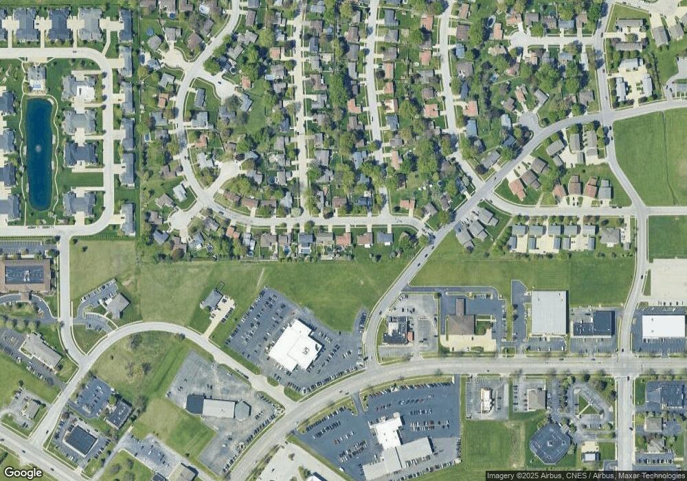
Map
- 460 W John Casey Rd
- Lot 5/5A Almar Pkwy
- 855 Stonewall Dr
- 778 Woodstock Ln
- 1154 Blaye
- 51 Duncan Dr
- 248 Fox Trail Dr
- 1240 Plum Creek Dr
- 376 Belle Aire Ave
- 213 Belle Aire Ave
- 855 Magnolia Dr
- 3 Duncan Dr
- 179 N Levasseur Ave
- 1362 Mill Pond Rd
- 3425 Mouton Ct
- 357 Windermere Way
- 0 Merlot Blanc Ct
- 740 Burns Ct
- 889 Armour Rd
- 34 Emery Dr
- 567 Independence Dr
- 589 Independence Dr
- 550 Independence Dr
- 541 Independence Dr
- 570 Independence Dr
- 620 Stonewall Dr
- 605 Independence Dr
- 655 Bunker Hill Dr
- 525 Independence Dr
- 535 Independence Dr
- 640 Stonewall Dr
- 673 Bunker Hill Dr
- 640 Bunker Hill Dr
- 615 Independence Dr
- 615 Stonewall Dr
- 660 Stonewall Dr
- 515 Independence Dr
- 660 Bunker Hill Dr
- 691 Bunker Hill Dr
- 630 Independence Dr
Ask me questions while you tour the home.