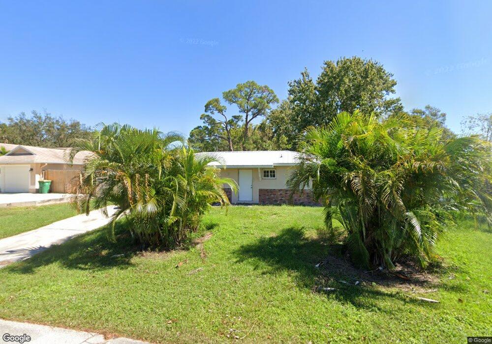
573 Michael St Sebastian, FL 32958
Sebastian Highlands NeighborhoodEstimated Value: $195,000 - $239,000
About This Home
This home is located at 573 Michael St, Sebastian, FL 32958 and is currently estimated at $212,726, approximately $233 per square foot. 573 Michael St is a home located in Indian River County with nearby schools including Sebastian Elementary School, Sebastian River Middle School, and Sebastian River High School.
Ownership History
We collect this data history from publicly available records. To have your information removed, we recommend requesting removal directly through your county’s website.
Purchase Details
Purchase Details
Purchase Details
Home Values in the Area
Average Home Value in this Area
Purchase History
We collect this data history from publicly available records. To have your information removed, we recommend requesting removal directly through your county’s website.
| Date | Buyer | Sale Price | Title Company |
|---|---|---|---|
| $46,000 | -- | ||
| -- | -- | ||
| -- | -- |
Tax History
We collect this data history from publicly available records. To have your information removed, we recommend requesting removal directly through your county’s website.
| Year | Tax Paid | Tax Assessment Tax Assessment Total Assessment is a certain percentage of the fair market value that is determined by local assessors to be the total taxable value of land and additions on the property. | Land | Improvement |
|---|---|---|---|---|
| 2025 | $963 | $49,313 | -- | -- |
| 2024 | $617 | $49,313 | -- | -- |
| 2023 | $617 | $46,527 | $0 | $0 |
| 2022 | $587 | $45,171 | $0 | $0 |
| 2021 | $566 | $43,855 | $0 | $0 |
| 2020 | $553 | $43,249 | $0 | $0 |
| 2019 | $536 | $42,276 | $0 | $0 |
| 2018 | $527 | $41,488 | $0 | $0 |
| 2017 | $452 | $40,635 | $0 | $0 |
| 2016 | $439 | $39,800 | $0 | $0 |
| 2015 | $445 | $39,530 | $0 | $0 |
| 2014 | $414 | $39,220 | $0 | $0 |
Map
- 573 Wimbrow Dr
- 542 Saunders St
- 526 Saunders St
- 581 Layport Dr
- 602 Lake Dr
- 677 Wimbrow Dr
- 782 Vocelle Ave
- 5399 87th St
- 12825 80th Ave & 12825 80th Ct Ave
- 426 Fleming St
- 425 Banyan St
- 425 Oak St
- 662 Vocelle Ave
- 462 Hazel St
- 409 Ash St
- 585 Ray St
- 243 Dickens Ave
- 722 Wentworth St
- 726 Wentworth St
- 109 Harbor Point Dr
- 565 Michael St
- 581 Michael St
- 566 Sloane St
- 574 Sloane St
- 557 Michael St
- 566 Michael St
- 544 Wimbrow Dr
- 558 Sloane St
- 574 Michael St Unit 2
- 558 Michael St
- 549 Michael St
- 590 Futch Way
- 598 Futch Way
- 550 Sloane St
- 550 Michael St
- 589 Sloane St
- 565 Saunders St
- 573 Saunders St
- 557 Saunders St
- 542 Michael St
Ask me questions while you tour the home.