5731 Joan Dr High Point, NC 27263
Estimated Value: $224,135 - $239,000
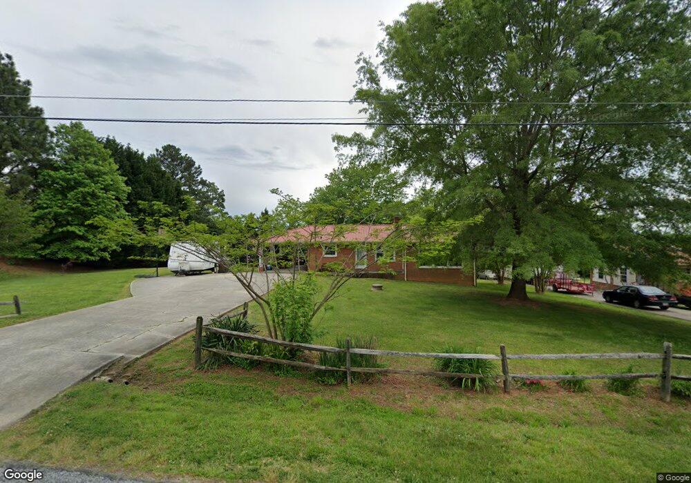
About This Home
This home is located at 5731 Joan Dr, High Point, NC 27263 and is currently estimated at $230,284, approximately $200 per square foot. 5731 Joan Dr is a home located in Randolph County with nearby schools including Archdale Elementary School, Wheatmore Middle School, and Trinity High School.
Ownership History
We collect this data history from publicly available records. To have your information removed, we recommend requesting removal directly through your county’s website.
Purchase Details
Purchase Details
Home Financials for this Owner
Home Financials are based on the most recent Mortgage that was taken out on this home.Purchase Details
Home Values in the Area
Average Home Value in this Area
Purchase History
We collect this data history from publicly available records. To have your information removed, we recommend requesting removal directly through your county’s website.
| Date | Buyer | Sale Price | Title Company |
|---|---|---|---|
| $225,000 | None Listed On Document | ||
| $225,000 | None Listed On Document | ||
| $114,000 | None Available | ||
| $97,000 | -- |
Mortgage History
We collect this data history from publicly available records. To have your information removed, we recommend requesting removal directly through your county’s website.
| Date | Status | Borrower | Loan Amount |
|---|---|---|---|
| Previous Owner | $114,000 |
Tax History
We collect this data history from publicly available records. To have your information removed, we recommend requesting removal directly through your county’s website.
| Year | Tax Paid | Tax Assessment Tax Assessment Total Assessment is a certain percentage of the fair market value that is determined by local assessors to be the total taxable value of land and additions on the property. | Land | Improvement |
|---|---|---|---|---|
| 2025 | $1,411 | $169,890 | $36,170 | $133,720 |
| 2024 | $1,394 | $169,890 | $36,170 | $133,720 |
| 2023 | $1,394 | $169,890 | $36,170 | $133,720 |
| 2022 | $1,126 | $115,480 | $21,350 | $94,130 |
| 2021 | $1,126 | $115,480 | $21,350 | $94,130 |
| 2020 | $1,090 | $112,600 | $21,350 | $91,250 |
| 2019 | $1,090 | $112,600 | $21,350 | $91,250 |
| 2018 | $1,026 | $102,770 | $21,350 | $81,420 |
| 2016 | $1,001 | $102,769 | $21,350 | $81,419 |
| 2015 | $1,004 | $102,769 | $21,350 | $81,419 |
| 2014 | $1,004 | $102,769 | $21,350 | $81,419 |
Map
- 318 Daniel Paul Dr
- 5802 Mendenhall Rd
- 203 Naola Ct
- 5491 Rock Valley Dr
- 5487 Rock Valley Dr
- 300 Sealy Dr
- 5582 Siler St
- 301 Cloverdale Dr
- 5334 Sherrie Dr
- 501 Lake Dr
- 423 Walnut Grove Rd
- 5172 Payne St
- 1001 Jimmy Ct
- 5432 Braxton Craven Rd
- 0 Younts View Dr
- 5528 Avery Dr
- 5521 Carrington Ct
- 1006 Slingshot Ct
- 1109 Slingshot Dr
- 1003 Slingshot Dr
Ask me questions while you tour the home.