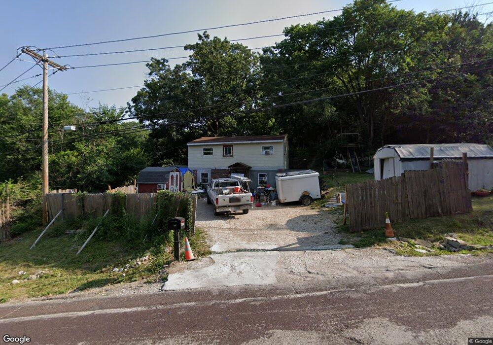
5737 Highway Pp High Ridge, MO 63049
Estimated Value: $91,849 - $212,000
About This Home
This home is located at 5737 Highway Pp, High Ridge, MO 63049 and is currently estimated at $171,962, approximately $156 per square foot. 5737 Highway Pp is a home with nearby schools including Northwest High School and St. Anthony School.
Ownership History
We collect this data history from publicly available records. To have your information removed, we recommend requesting removal directly through your county’s website.
Purchase Details
Purchase Details
Home Financials for this Owner
Home Financials are based on the most recent Mortgage that was taken out on this home.Home Values in the Area
Average Home Value in this Area
Purchase History
We collect this data history from publicly available records. To have your information removed, we recommend requesting removal directly through your county’s website.
| Date | Buyer | Sale Price | Title Company |
|---|---|---|---|
| -- | None Available | ||
| -- | -- |
Mortgage History
We collect this data history from publicly available records. To have your information removed, we recommend requesting removal directly through your county’s website.
| Date | Status | Borrower | Loan Amount |
|---|---|---|---|
| Closed | $70,400 |
Tax History
We collect this data history from publicly available records. To have your information removed, we recommend requesting removal directly through your county’s website.
| Year | Tax Paid | Tax Assessment Tax Assessment Total Assessment is a certain percentage of the fair market value that is determined by local assessors to be the total taxable value of land and additions on the property. | Land | Improvement |
|---|---|---|---|---|
| 2025 | $484 | $7,100 | $1,900 | $5,200 |
| 2024 | $484 | $6,700 | $1,900 | $4,800 |
| 2023 | $484 | $6,700 | $1,900 | $4,800 |
| 2022 | $482 | $6,700 | $1,900 | $4,800 |
| 2021 | $479 | $6,700 | $1,900 | $4,800 |
| 2020 | $454 | $6,200 | $1,600 | $4,600 |
| 2019 | $453 | $6,200 | $1,600 | $4,600 |
| 2018 | $459 | $6,200 | $1,600 | $4,600 |
| 2017 | $420 | $6,200 | $1,600 | $4,600 |
| 2016 | $382 | $5,600 | $1,700 | $3,900 |
| 2015 | $393 | $5,600 | $1,700 | $3,900 |
| 2013 | -- | $12,700 | $1,700 | $11,000 |
Map
- 3112 Del Rio Dr
- 6227 Missouri Pp
- 2944 Raw Wind Dr
- 3015 Saint Judes Ct
- 3483 High Ridge Blvd
- 5736 La Trace Ln
- Lot 160 Sassafras Ln
- 2801 High Ridge Blvd
- 9 Amber Ridge Ct
- 2673 Cathy Ann Dr
- 2609 Forest Ln
- 2803 Wild Valley Dr
- 6230 Antire Rd
- 6240 Antire Rd
- 6752 Walnut Valley Dr
- 0 High Ridge Manor Resub Lot 6 Unit MIS26024859
- 2552 Somerville Dr
- TBD State Route 30
- 6033 Clearview Dr
- 3663 E Lakeview Dr
- 3106 Richard Heights
- 5801 Old Little Antire Rd
- 3107 Richard Heights
- 5733 Brackman Ln
- 3100 Richard Heights
- 5730 Brackman Ln
- 5721 Brackman Ln
- 5717 Brackman Ln
- 2 Dewey Dr
- 5809 Old Little Antire Rd
- 5713 Brackman Ln
- 5712 Brackman Ln
- 5709 Hill Dr
- 5808 Old Little Antire Rd
- 3025 Carol Ln
- 5813 Old Little Antire Rd
- 5709 Brackman Ln
- 5704 Brackman Ln
- 5704 Hill Dr
- 3025 Karen Ct
Ask me questions while you tour the home.