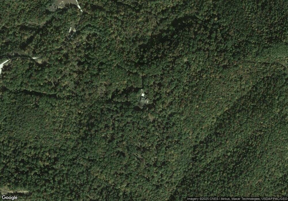
574 Hurricane Branch Grayson, KY 41143
Grayson AreaEstimated Value: $321,000 - $634,000
About This Home
This home is located at 574 Hurricane Branch, Grayson, KY 41143 and is currently estimated at $484,339, approximately $205 per square foot. 574 Hurricane Branch is a home located in Carter County with nearby schools including Carter City Elementary School, East Carter Middle School, and West Carter County High School.
Ownership History
We collect this data history from publicly available records. To have your information removed, we recommend requesting removal directly through your county’s website.
Purchase Details
Home Financials for this Owner
Home Financials are based on the most recent Mortgage that was taken out on this home.Purchase History
We collect this data history from publicly available records. To have your information removed, we recommend requesting removal directly through your county’s website.
| Date | Buyer | Sale Price | Title Company |
|---|---|---|---|
| $300,100 | None Available |
Mortgage History
We collect this data history from publicly available records. To have your information removed, we recommend requesting removal directly through your county’s website.
| Date | Status | Borrower | Loan Amount |
|---|---|---|---|
| Open | $45,000 | ||
| Closed | -- | ||
| Open | $240,000 | ||
| Previous Owner | $25,000 |
Tax History
We collect this data history from publicly available records. To have your information removed, we recommend requesting removal directly through your county’s website.
| Year | Tax Paid | Tax Assessment Tax Assessment Total Assessment is a certain percentage of the fair market value that is determined by local assessors to be the total taxable value of land and additions on the property. | Land | Improvement |
|---|---|---|---|---|
| 2025 | $2,562 | $300,100 | $0 | $0 |
| 2024 | $2,577 | $300,100 | $0 | $0 |
| 2023 | $2,589 | $300,100 | $0 | $0 |
| 2022 | $2,598 | $300,100 | $0 | $0 |
| 2021 | $2,649 | $300,100 | $0 | $0 |
| 2020 | $2,656 | $300,100 | $50,000 | $250,100 |
| 2019 | $2,649 | $300,100 | $50,000 | $250,100 |
| 2018 | $2,650 | $300,100 | $50,000 | $250,100 |
| 2017 | $2,528 | $300,100 | $50,000 | $250,100 |
| 2016 | $2,523 | $300,100 | $50,000 | $250,100 |
| 2015 | $2,463 | $300,100 | $50,000 | $250,100 |
| 2014 | $2,463 | $300,100 | $50,000 | $250,100 |
| 2011 | $1,554 | $192,500 | $0 | $0 |
Map
- 18 Hurricane Branch
- 10640 State Highway 9
- 0 Copperhead Rd
- TBD Copperhead Rd
- 1270 Menix Rd
- 384 Ash Hollow
- 0 Cooper Rd
- 2700 Smith Branch
- 598 Cooper Rd
- 2717 Leatherwood Rd
- 0 Boone Branch Rd
- 4833 N State Highway 7
- 0 Deadend Trail
- 80 Gregory Way
- 3304 Laurel Rd
- 3126 Laurel Rd
- 423 Bertram Hollow
- 7063 W US Highway 60
- 0 Crane Creek Rd Unit LotWP001
- 0 Laurel Unit 60880
- 38 S Carolina Dr
- 329 Friends Branch
- 483 Friends Branch Rd
- 194 Friends Branch
- 480 Friends Branch
- 387 Friends Branch
- 327 Friends Branch
- 322 Sweet Pea Ln
- 140 Friends Branch
- 156 Friends Branch
- 99 Mulberry Ln
- 745 Hurricane Branch
- 144 Rock Springs
- 130 Friends Branch
- 424 Rock Springs
- 872 Lonesome Rd
- 8500 State Highway 9
- 661 Hurricane Branch
- 260 Hurricane Branch Rd
- 0 Hurricane Branch Rd
Ask me questions while you tour the home.