574 Katie Ham Rd Nahunta, GA 31553
Estimated Value: $80,919 - $208,000
Studio
--
Bath
1,216
Sq Ft
$102/Sq Ft
Est. Value
About This Home
This home is located at 574 Katie Ham Rd, Nahunta, GA 31553 and is currently estimated at $123,480, approximately $101 per square foot. 574 Katie Ham Rd is a home with nearby schools including Nahunta Primary School, Nahunta Elementary School, and Brantley County Middle School.
Ownership History
Date
Name
Owned For
Owner Type
Purchase Details
Closed on
Feb 27, 2024
Sold by
Lake Joey V
Bought by
Lake Joseph V and Lake Sierra M
Current Estimated Value
Home Financials for this Owner
Home Financials are based on the most recent Mortgage that was taken out on this home.
Original Mortgage
$88,000
Interest Rate
6.63%
Mortgage Type
New Conventional
Purchase Details
Closed on
Jan 12, 2023
Sold by
Jones June E
Bought by
Lake Joey V
Purchase Details
Closed on
Oct 20, 2009
Sold by
Lake Joseph Carroll
Bought by
Lake David Victor
Create a Home Valuation Report for This Property
The Home Valuation Report is an in-depth analysis detailing your home's value as well as a comparison with similar homes in the area
Purchase History
| Date | Buyer | Sale Price | Title Company |
|---|---|---|---|
| Lake Joseph V | -- | -- | |
| Lake David Victor | -- | -- | |
| Lake Joey V | -- | -- | |
| Lake David Victor | $8,000 | -- |
Source: Public Records
Mortgage History
| Date | Status | Borrower | Loan Amount |
|---|---|---|---|
| Closed | Lake Joseph V | $88,000 |
Source: Public Records
Tax History
| Year | Tax Paid | Tax Assessment Tax Assessment Total Assessment is a certain percentage of the fair market value that is determined by local assessors to be the total taxable value of land and additions on the property. | Land | Improvement |
|---|---|---|---|---|
| 2025 | $807 | $26,961 | $26,961 | $0 |
| 2024 | $613 | $19,337 | $17,697 | $1,640 |
| 2023 | $34 | $14,859 | $13,219 | $1,640 |
| 2022 | $451 | $13,859 | $13,219 | $640 |
| 2021 | $461 | $13,859 | $13,219 | $640 |
| 2020 | $476 | $13,859 | $13,219 | $640 |
| 2019 | $475 | $13,859 | $13,219 | $640 |
| 2018 | $535 | $15,736 | $15,096 | $640 |
| 2017 | $535 | $15,736 | $15,096 | $640 |
| 2016 | $555 | $15,736 | $15,096 | $640 |
| 2015 | -- | $15,736 | $15,096 | $640 |
Source: Public Records
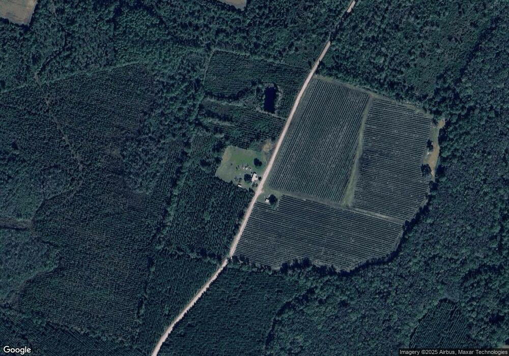
Map
Nearby Homes
- 0 Woodrow Ln
- 3362 Seed Orchard Rd
- 828 Knox St
- 14375 U S 301
- 86 Smith Dr
- 584 Knox St
- 387 Burton St
- 109 Rainge St
- 4921 Hwy 301 S Hwy
- 154 Avalon St
- 4452 Pembers Rd
- 20.55 ACRES Highway 82
- 92 Ervin St
- 4432 Pembers Rd
- 00 Robin Ln
- 0 Robin Ln
- 4561 Buffalo Creek Dr
- 7126 U S 301
- 193 Blackberry Rd
- 46 Christopher Cir
Your Personal Tour Guide
Ask me questions while you tour the home.