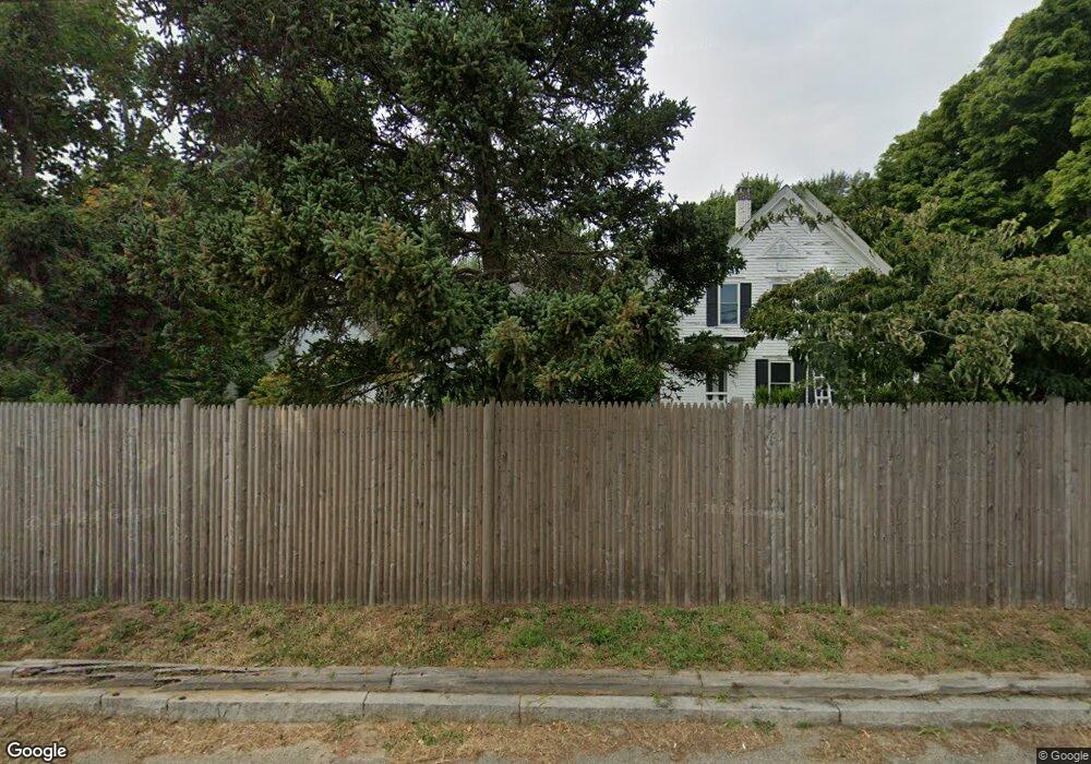
575 State Hwy Eastham, MA 02642
Estimated Value: $737,000 - $1,138,000
4
Beds
2
Baths
2,720
Sq Ft
$327/Sq Ft
Est. Value
About This Home
This home is located at 575 State Hwy, Eastham, MA 02642 and is currently estimated at $890,352, approximately $327 per square foot. 575 State Hwy is a home located in Barnstable County with nearby schools including Eastham Elementary School, Nauset Regional Middle School, and Nauset Regional High School.
Ownership History
Date
Name
Owned For
Owner Type
Purchase Details
Closed on
Aug 24, 2022
Sold by
Nelson Peter and Roy Sally
Bought by
Condon-Price Ruth and Price Lyttleton
Current Estimated Value
Home Financials for this Owner
Home Financials are based on the most recent Mortgage that was taken out on this home.
Original Mortgage
$478,500
Outstanding Balance
$453,711
Interest Rate
5.51%
Mortgage Type
Purchase Money Mortgage
Estimated Equity
$436,641
Purchase Details
Closed on
Dec 18, 2019
Sold by
Nelson Peter A
Bought by
Nelson Peter A and Roy Sally
Create a Home Valuation Report for This Property
The Home Valuation Report is an in-depth analysis detailing your home's value as well as a comparison with similar homes in the area
Home Values in the Area
Average Home Value in this Area
Purchase History
| Date | Buyer | Sale Price | Title Company |
|---|---|---|---|
| Condon-Price Ruth | $486,000 | None Available | |
| Nelson Peter A | -- | None Available |
Source: Public Records
Mortgage History
| Date | Status | Borrower | Loan Amount |
|---|---|---|---|
| Open | Condon-Price Ruth | $478,500 |
Source: Public Records
Tax History
| Year | Tax Paid | Tax Assessment Tax Assessment Total Assessment is a certain percentage of the fair market value that is determined by local assessors to be the total taxable value of land and additions on the property. | Land | Improvement |
|---|---|---|---|---|
| 2025 | $6,156 | $798,400 | $178,700 | $619,700 |
| 2024 | $5,209 | $743,100 | $173,500 | $569,600 |
| 2023 | $4,752 | $656,300 | $160,600 | $495,700 |
| 2022 | $4,276 | $498,400 | $143,400 | $355,000 |
| 2021 | $4,035 | $439,500 | $130,300 | $309,200 |
| 2020 | $3,682 | $422,200 | $133,000 | $289,200 |
| 2019 | $3,285 | $398,200 | $129,200 | $269,000 |
| 2018 | $2,744 | $328,600 | $125,400 | $203,200 |
| 2017 | $2,882 | $364,800 | $122,900 | $241,900 |
| 2016 | $2,682 | $360,500 | $122,900 | $237,600 |
| 2015 | $2,494 | $351,300 | $120,500 | $230,800 |
Source: Public Records
Map
Nearby Homes
- 704 State Hwy
- 320 State Hwy
- 20 Kittiwake Ln
- 1061 State Hwy Unit 4
- 1061 State Hwy Unit 1061
- 25 Twin Rocks Dr
- 330 Hay Rd
- 59 Bridge Rd
- 60 Smith Heights Way
- 46 Freeman Ln
- 2 Reilly Run
- 343 Tonset Rd
- 13 S Orleans Rd Unit 42
- 13 S Orleans Rd Unit 28
- 32 Locust Rd
- 181 Rock Harbor Rd
- 40 Bayview Rd
- 339 Dyer Prince Rd
- 10 Cartway N
- 20 Stone Ct
Your Personal Tour Guide
Ask me questions while you tour the home.