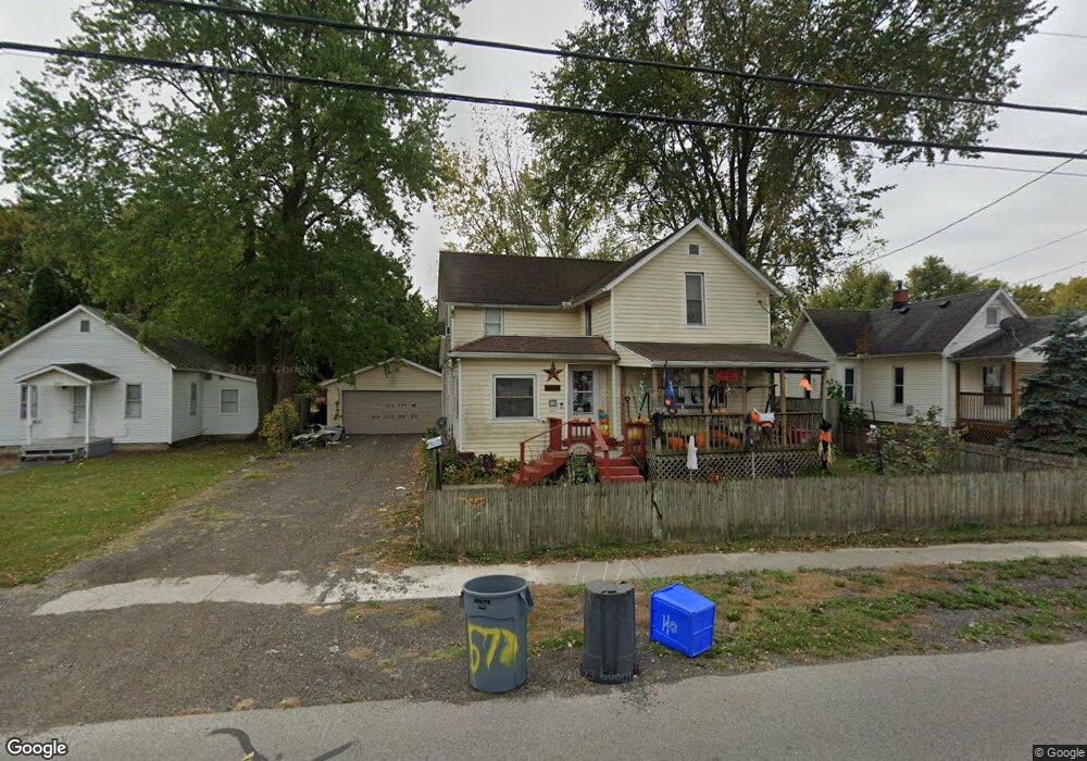
577 E Mark St Marion, OH 43302
Estimated Value: $82,000 - $119,000
3
Beds
1
Bath
1,419
Sq Ft
$70/Sq Ft
Est. Value
About This Home
This home is located at 577 E Mark St, Marion, OH 43302 and is currently estimated at $99,524, approximately $70 per square foot. 577 E Mark St is a home located in Marion County with nearby schools including George Washington Elementary School, Ulysses S. Grant Middle School, and Harding High School.
Ownership History
Date
Name
Owned For
Owner Type
Purchase Details
Closed on
May 24, 2007
Sold by
American General Financial Services Inc
Bought by
Blackford Daniel S and Blackford Amy R
Current Estimated Value
Home Financials for this Owner
Home Financials are based on the most recent Mortgage that was taken out on this home.
Original Mortgage
$46,000
Outstanding Balance
$28,678
Interest Rate
7%
Mortgage Type
Adjustable Rate Mortgage/ARM
Estimated Equity
$70,846
Purchase Details
Closed on
Aug 11, 2006
Sold by
Gattshall Kevin
Bought by
American General Financial Services Inc
Create a Home Valuation Report for This Property
The Home Valuation Report is an in-depth analysis detailing your home's value as well as a comparison with similar homes in the area
Home Values in the Area
Average Home Value in this Area
Purchase History
| Date | Buyer | Sale Price | Title Company |
|---|---|---|---|
| Blackford Daniel S | $23,800 | Chicago Title | |
| American General Financial Services Inc | $37,000 | None Available |
Source: Public Records
Mortgage History
| Date | Status | Borrower | Loan Amount |
|---|---|---|---|
| Open | Blackford Daniel S | $46,000 |
Source: Public Records
Tax History
| Year | Tax Paid | Tax Assessment Tax Assessment Total Assessment is a certain percentage of the fair market value that is determined by local assessors to be the total taxable value of land and additions on the property. | Land | Improvement |
|---|---|---|---|---|
| 2025 | $879 | $29,820 | $3,170 | $26,650 |
| 2024 | $879 | $22,880 | $3,020 | $19,860 |
| 2023 | $879 | $22,880 | $3,020 | $19,860 |
| 2022 | $816 | $22,880 | $3,020 | $19,860 |
| 2021 | $668 | $16,870 | $2,380 | $14,490 |
| 2020 | $670 | $16,870 | $2,380 | $14,490 |
| 2019 | $877 | $16,870 | $2,380 | $14,490 |
| 2018 | $685 | $17,760 | $2,380 | $15,380 |
| 2017 | $694 | $17,760 | $2,380 | $15,380 |
| 2016 | $689 | $17,760 | $2,380 | $15,380 |
| 2015 | $693 | $17,460 | $2,260 | $15,200 |
| 2014 | $732 | $17,460 | $2,260 | $15,200 |
| 2012 | $681 | $17,020 | $2,340 | $14,680 |
Source: Public Records
Map
Nearby Homes
- 516 Polk St
- 250 N Grand Ave
- 393 E George St
- 714 E Church St
- 569 E Church St
- 279 E Fairground St
- 212 Short St
- 537 Fair Park Ave
- 125 Uhler Ave
- 434 N State St
- 151 Barnhart St
- 174 Barnhart St
- 210 Hane Ave
- 194 Chicago Ave
- 197 Harrison St
- 222 Uhler Ave
- 530 Littleton St
- 480 Nassau Dr
- 531 N Main St
- 354 Franklin St
Your Personal Tour Guide
Ask me questions while you tour the home.