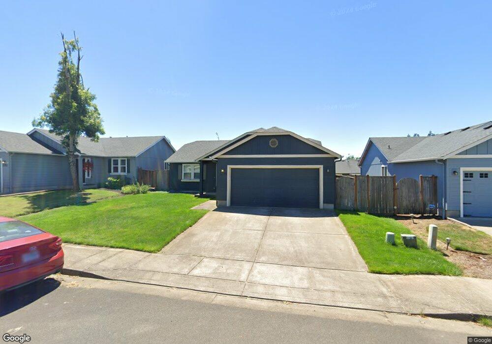
5775 Mineral Way Springfield, OR 97478
East Springfield NeighborhoodEstimated Value: $387,748 - $396,000
About This Home
This home is located at 5775 Mineral Way, Springfield, OR 97478 and is currently estimated at $392,437, approximately $341 per square foot. 5775 Mineral Way is a home located in Lane County with nearby schools including Riverbend Elementary School, Agnes Stewart Middle School, and Thurston High School.
Ownership History
We collect this data history from publicly available records. To have your information removed, we recommend requesting removal directly through your county’s website.
Purchase Details
Home Financials for this Owner
Home Financials are based on the most recent Mortgage that was taken out on this home.Home Values in the Area
Average Home Value in this Area
Purchase History
We collect this data history from publicly available records. To have your information removed, we recommend requesting removal directly through your county’s website.
| Date | Buyer | Sale Price | Title Company |
|---|---|---|---|
| $183,091 | Cascade Title Co |
Mortgage History
We collect this data history from publicly available records. To have your information removed, we recommend requesting removal directly through your county’s website.
| Date | Status | Borrower | Loan Amount |
|---|---|---|---|
| Open | $179,773 |
Tax History
We collect this data history from publicly available records. To have your information removed, we recommend requesting removal directly through your county’s website.
| Year | Tax Paid | Tax Assessment Tax Assessment Total Assessment is a certain percentage of the fair market value that is determined by local assessors to be the total taxable value of land and additions on the property. | Land | Improvement |
|---|---|---|---|---|
| 2025 | $3,408 | $185,830 | -- | -- |
| 2024 | $3,352 | $180,418 | -- | -- |
| 2023 | $3,352 | $175,164 | $0 | $0 |
| 2022 | $3,105 | $170,063 | $0 | $0 |
| 2021 | $3,049 | $165,110 | $0 | $0 |
| 2020 | $2,960 | $160,301 | $0 | $0 |
| 2019 | $2,871 | $155,633 | $0 | $0 |
| 2018 | $2,707 | $146,699 | $0 | $0 |
| 2017 | $2,603 | $146,699 | $0 | $0 |
| 2016 | $2,548 | $142,426 | $0 | $0 |
| 2015 | $2,475 | $138,278 | $0 | $0 |
| 2014 | $2,438 | $134,250 | $0 | $0 |
Map
- 1798 S 57th Place
- 1281 S 57th Place
- 1088 Linda Ln
- 5949 Lilac Ln
- 855 S 57th St
- 5241 Holly St
- 5238 Holly St
- 5266 Holly St
- 5247 Holly St
- 6110 Graystone Loop
- 5660 Daisy St Unit 31
- 5259 Holly St
- 5260 Holly St
- 421 S 58th St
- 5232 Long Ridge Dr
- 5254 Holly St
- 967 S 66th Place
- 5224 Red Oak Dr
- 5246 Holly St
- 5205 Red Oak Dr
- 5783 Mineral Way
- 5767 Mineral Way
- 5770 Mica St
- 5764 Mica St
- 5789 Mineral Way
- 5759 Mineral Way
- 5778 Mica St
- 5760 Mica St
- 5776 Mineral Way
- 5770 Mineral Way
- 5795 Mineral Way
- 1921 S 57th Place
- 1921 S 57th St
- 5784 Mineral Way
- 5764 Mineral Way
- 5792 Mineral Way
- 5794 Mica St
- 1940 S 58th St
- 1843 S 57th St
- 1843 S 57th Place
Ask me questions while you tour the home.