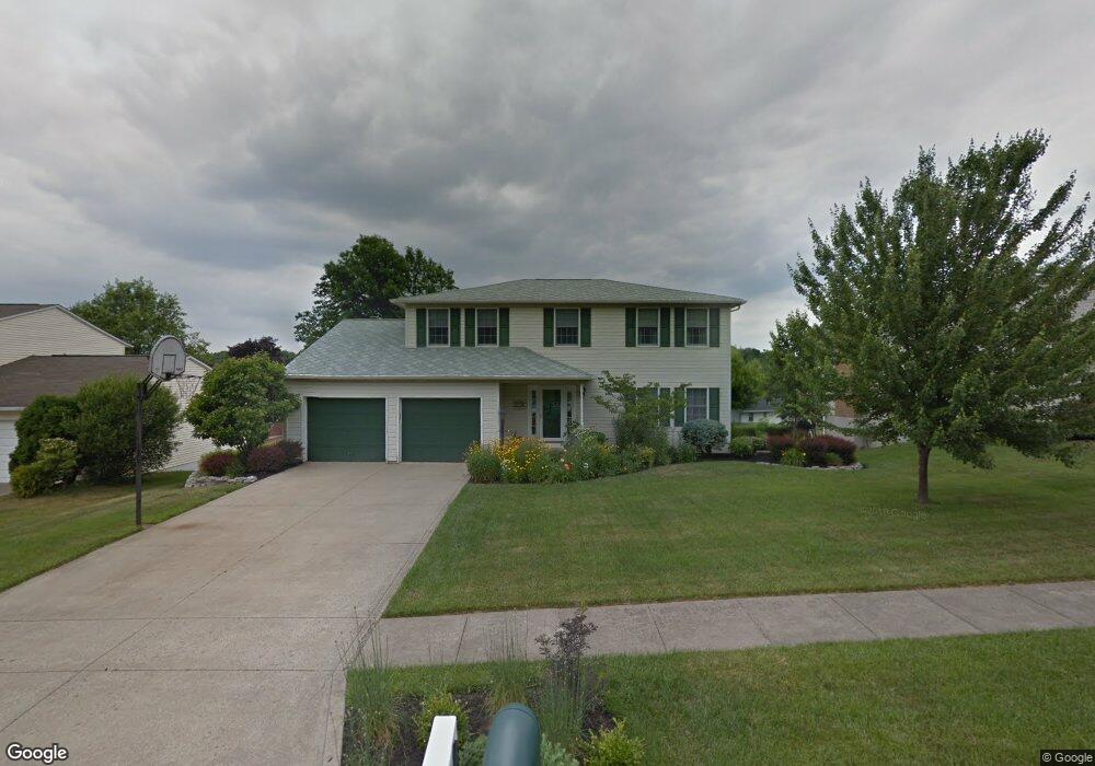
578 Dirlam Ln Mansfield, OH 44904
Lexington AreaEstimated Value: $318,000 - $342,000
About This Home
This home is located at 578 Dirlam Ln, Mansfield, OH 44904 and is currently estimated at $328,091, approximately $147 per square foot. 578 Dirlam Ln is a home located in Richland County with nearby schools including Lexington High School, Mansfield Christian School, and Discovery School.
Ownership History
We collect this data history from publicly available records. To have your information removed, we recommend requesting removal directly through your county’s website.
Purchase Details
Purchase Details
Purchase Details
Purchase Details
Home Values in the Area
Average Home Value in this Area
Purchase History
We collect this data history from publicly available records. To have your information removed, we recommend requesting removal directly through your county’s website.
| Date | Buyer | Sale Price | Title Company |
|---|---|---|---|
| -- | None Listed On Document | ||
| $155,000 | -- | ||
| $121,690 | -- | ||
| $106,900 | -- |
Mortgage History
We collect this data history from publicly available records. To have your information removed, we recommend requesting removal directly through your county’s website.
| Date | Status | Borrower | Loan Amount |
|---|---|---|---|
| Previous Owner | $20,000 | ||
| Previous Owner | $92,500 |
Tax History
We collect this data history from publicly available records. To have your information removed, we recommend requesting removal directly through your county’s website.
| Year | Tax Paid | Tax Assessment Tax Assessment Total Assessment is a certain percentage of the fair market value that is determined by local assessors to be the total taxable value of land and additions on the property. | Land | Improvement |
|---|---|---|---|---|
| 2025 | $3,341 | $80,320 | $13,650 | $66,670 |
| 2024 | $3,341 | $80,320 | $13,650 | $66,670 |
| 2023 | $3,449 | $80,320 | $13,650 | $66,670 |
| 2022 | $3,284 | $57,810 | $10,310 | $47,500 |
| 2021 | $3,295 | $57,810 | $10,310 | $47,500 |
| 2020 | $3,298 | $57,810 | $10,310 | $47,500 |
| 2019 | $3,030 | $48,990 | $8,740 | $40,250 |
| 2018 | $2,579 | $48,990 | $8,740 | $40,250 |
| 2017 | $2,599 | $48,990 | $8,740 | $40,250 |
| 2016 | $2,647 | $49,830 | $8,470 | $41,360 |
| 2015 | $2,644 | $49,830 | $8,470 | $41,360 |
| 2014 | $2,645 | $49,830 | $8,470 | $41,360 |
| 2012 | $1,285 | $51,370 | $8,740 | $42,630 |
Map
- 541 Sequoia Ln
- 631 Bailey Dr
- 615 Bailey Dr
- 1956 Middle Bellville Rd
- 519-521 Straub Rd W
- 519 Straub Rd W
- 635 Karlson Dr
- 601 Karlson Dr
- 1882 Red Oak Dr
- 1702 Middle Bellville Rd
- 1699 Middle Bellville Rd
- 1578 Cape Cod Dr
- 1663 Rippling Brook Dr
- 599 Meadowdale Dr
- 1668 Nantucket Dr
- 2254 Saratoga Ct
- 746 Joselyn Ave
- 562 Fuhrer Ave
- 910 Greenfield Dr
- 612 Fuhrer Ave
Ask me questions while you tour the home.