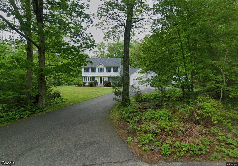
58 Byron Randall Rd North Scituate, RI 02857
Bishop Heights NeighborhoodEstimated Value: $440,000 - $754,000
3
Beds
3
Baths
2,478
Sq Ft
$256/Sq Ft
Est. Value
About This Home
This home is located at 58 Byron Randall Rd, North Scituate, RI 02857 and is currently estimated at $633,527, approximately $255 per square foot. 58 Byron Randall Rd is a home located in Providence County with nearby schools including North Scituate School, Scituate Middle School, and Scituate High School.
Ownership History
Date
Name
Owned For
Owner Type
Purchase Details
Closed on
May 27, 1999
Sold by
Parkhurst Francis L and Parkhurst Patricia G
Bought by
Risnick Steven A and Risnick Linda
Current Estimated Value
Home Financials for this Owner
Home Financials are based on the most recent Mortgage that was taken out on this home.
Original Mortgage
$35,000
Interest Rate
6.82%
Create a Home Valuation Report for This Property
The Home Valuation Report is an in-depth analysis detailing your home's value as well as a comparison with similar homes in the area
Home Values in the Area
Average Home Value in this Area
Purchase History
| Date | Buyer | Sale Price | Title Company |
|---|---|---|---|
| Risnick Steven A | $70,000 | -- |
Source: Public Records
Mortgage History
| Date | Status | Borrower | Loan Amount |
|---|---|---|---|
| Open | Risnick Steven A | $150,000 | |
| Closed | Risnick Steven A | $193,000 | |
| Closed | Risnick Steven A | $240,000 | |
| Closed | Risnick Steven A | $35,000 |
Source: Public Records
Tax History
| Year | Tax Paid | Tax Assessment Tax Assessment Total Assessment is a certain percentage of the fair market value that is determined by local assessors to be the total taxable value of land and additions on the property. | Land | Improvement |
|---|---|---|---|---|
| 2025 | $8,034 | $463,600 | $122,200 | $341,400 |
| 2024 | $8,034 | $463,600 | $122,200 | $341,400 |
| 2023 | $7,770 | $463,600 | $122,200 | $341,400 |
| 2022 | $7,594 | $463,600 | $122,200 | $341,400 |
| 2021 | $7,726 | $413,400 | $101,600 | $311,800 |
| 2020 | $7,553 | $413,400 | $101,600 | $311,800 |
| 2019 | $7,396 | $413,400 | $101,600 | $311,800 |
| 2018 | $7,114 | $366,900 | $88,500 | $278,400 |
| 2017 | $6,905 | $366,900 | $88,500 | $278,400 |
| 2016 | $6,619 | $366,900 | $88,500 | $278,400 |
| 2015 | $6,507 | $339,600 | $80,900 | $258,700 |
| 2014 | $6,446 | $339,600 | $80,900 | $258,700 |
Source: Public Records
Map
Nearby Homes
- 0 Byron Randall Rd
- 324 Byron Randall Rd
- 187 Plainfield Pike
- 220 Plainfield Pike
- 3 Trinity Way
- 4 Trinity Way
- 10 Justin Ct
- 46 Woodsong Dr
- 0 Central Ave Lot 2
- 0 Country View Ln
- 58 Highland Terrace
- 106 Bishop Hill Rd
- 5 Braeburn Cir
- 191 Pippin Orchard Rd
- 63 Bishop Hill Rd
- 143 Trimtown Rd
- 0 Autumn Dr
- 136 White Birch Cir
- 140 White Birch Cir
- 35 Elmdale Ave
- 40 Byron Randall Rd
- 57 William Henry Rd
- 49 William Henry Rd
- 63 William Henry Rd
- 64 William Henry Rd
- 73 William Henry Rd
- 64 Rd
- 25 William Henry Rd
- 26 Byron Randall Rd
- 81 William Henry Rd
- 83 William Henry Rd
- 28 William Henry Rd
- 19 William Henry Rd
- 84 William Henry Rd
- 28 - Pole William Henry Rd
- 100 William Henry Rd
- 12 Byron Randall Rd
- 21 William Henry Rd
- 89 William Henry Rd
- 15 William Henry Rd
Your Personal Tour Guide
Ask me questions while you tour the home.