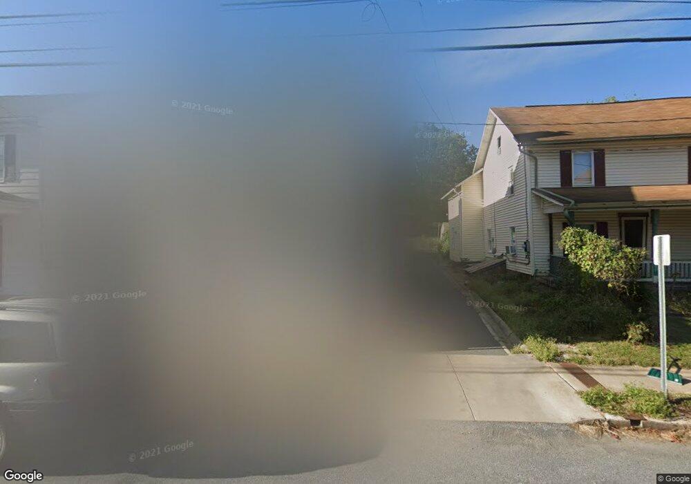
58 E Main St Adamstown, PA 19501
Estimated Value: $267,000 - $330,000
Studio
2
Baths
2,166
Sq Ft
$141/Sq Ft
Est. Value
About This Home
This home is located at 58 E Main St, Adamstown, PA 19501 and is currently estimated at $304,429, approximately $140 per square foot. 58 E Main St is a home located in Lancaster County with nearby schools including Cocalico Senior High School, Gehmans Mennonite School, and Trostle Hill School.
Create a Home Valuation Report for This Property
The Home Valuation Report is an in-depth analysis detailing your home's value as well as a comparison with similar homes in the area
Home Values in the Area
Average Home Value in this Area
Tax History
| Year | Tax Paid | Tax Assessment Tax Assessment Total Assessment is a certain percentage of the fair market value that is determined by local assessors to be the total taxable value of land and additions on the property. | Land | Improvement |
|---|---|---|---|---|
| 2025 | $4,024 | $160,000 | $61,600 | $98,400 |
| 2024 | $4,024 | $160,000 | $61,600 | $98,400 |
| 2023 | $3,931 | $160,000 | $61,600 | $98,400 |
| 2022 | $3,828 | $160,000 | $61,600 | $98,400 |
| 2021 | $3,828 | $160,000 | $61,600 | $98,400 |
| 2020 | $3,828 | $160,000 | $61,600 | $98,400 |
| 2019 | $3,783 | $160,000 | $61,600 | $98,400 |
| 2018 | $2,991 | $160,000 | $61,600 | $98,400 |
| 2017 | $2,903 | $99,900 | $23,100 | $76,800 |
| 2016 | $2,903 | $99,900 | $23,100 | $76,800 |
| 2015 | $623 | $99,900 | $23,100 | $76,800 |
| 2014 | $2,230 | $99,900 | $23,100 | $76,800 |
Source: Public Records
Map
Nearby Homes
- 33 E Main St
- 2152 Old Lancaster Pike
- 11 Rosemont Dr
- 0 Mohns Hill Rd
- 303 W Swartzville Rd
- 24 Edie Dr
- 104 Royal Horse Way
- 48 Scenic Dr
- 7 Hinden Homes
- 466 Witmer Rd
- 17 Sanderling Dr
- 6 Heron Dr
- 310 Mail Route Rd
- 1682 Reading Rd
- 525 Mohns Hill Rd
- 20 Hill Rd
- 395 Holtzman Rd
- 256 W Valley Rd
- 316 Goshawks Rd
- 224 W Valley Rd
Your Personal Tour Guide
Ask me questions while you tour the home.