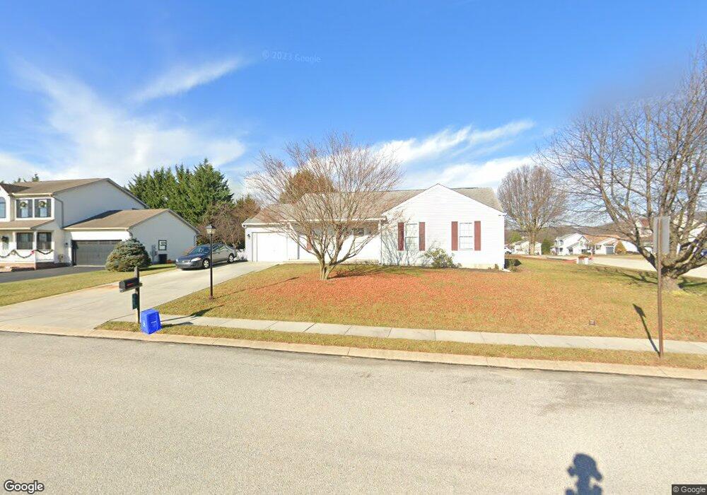
58 Test Rd Hanover, PA 17331
Estimated Value: $229,000 - $311,000
3
Beds
2
Baths
1,148
Sq Ft
$244/Sq Ft
Est. Value
About This Home
This home is located at 58 Test Rd, Hanover, PA 17331 and is currently estimated at $279,922, approximately $243 per square foot. 58 Test Rd is a home located in York County with nearby schools including South Western Senior High School and Hanover Mennonite School.
Ownership History
Date
Name
Owned For
Owner Type
Purchase Details
Closed on
Jun 12, 2023
Sold by
Whitmore E Redding Revocable Trust
Bought by
Langrill Kristin
Current Estimated Value
Home Financials for this Owner
Home Financials are based on the most recent Mortgage that was taken out on this home.
Original Mortgage
$165,750
Outstanding Balance
$161,318
Interest Rate
6.39%
Mortgage Type
New Conventional
Estimated Equity
$118,604
Purchase Details
Closed on
Jun 14, 2006
Sold by
Redding Whitmore E
Bought by
Redding Whitmore E and The Whitmore E Redding Revocab
Purchase Details
Closed on
Jan 22, 1998
Bought by
Redding Whitmore E
Create a Home Valuation Report for This Property
The Home Valuation Report is an in-depth analysis detailing your home's value as well as a comparison with similar homes in the area
Home Values in the Area
Average Home Value in this Area
Purchase History
| Date | Buyer | Sale Price | Title Company |
|---|---|---|---|
| Langrill Kristin | $195,000 | None Listed On Document | |
| Redding Whitmore E | -- | None Available | |
| Redding Whitmore E | $99,900 | -- |
Source: Public Records
Mortgage History
| Date | Status | Borrower | Loan Amount |
|---|---|---|---|
| Open | Langrill Kristin | $165,750 |
Source: Public Records
Tax History
| Year | Tax Paid | Tax Assessment Tax Assessment Total Assessment is a certain percentage of the fair market value that is determined by local assessors to be the total taxable value of land and additions on the property. | Land | Improvement |
|---|---|---|---|---|
| 2025 | $4,651 | $138,010 | $28,420 | $109,590 |
| 2024 | $4,651 | $138,010 | $28,420 | $109,590 |
| 2023 | $4,568 | $138,010 | $28,420 | $109,590 |
| 2022 | $4,470 | $138,010 | $28,420 | $109,590 |
| 2021 | $4,226 | $138,010 | $28,420 | $109,590 |
| 2020 | $4,226 | $138,010 | $28,420 | $109,590 |
| 2019 | $4,144 | $138,010 | $28,420 | $109,590 |
| 2018 | $4,090 | $138,010 | $28,420 | $109,590 |
| 2017 | $3,995 | $138,010 | $28,420 | $109,590 |
| 2016 | $0 | $138,010 | $28,420 | $109,590 |
| 2015 | -- | $138,010 | $28,420 | $109,590 |
| 2014 | -- | $138,010 | $28,420 | $109,590 |
Source: Public Records
Map
Nearby Homes
- 1678 Beech Ln
- 1686 Taylor Dr
- 1440 Broadway
- 1329 Broadway
- 129 Summerfield Dr
- 1006 E Walnut St
- 316 Moul Ave
- 344 Foxleigh Dr
- 869 E Walnut St
- 226 Moul Ave
- 1065 Beaver Creek Rd
- 405 Clearview Rd
- 440 Grant Dr
- 191 Moul Ave
- 245 Kennedy Ct
- 712 Spencer Dr
- 854 Blossom Dr
- 717 E Walnut St
- 729 Blossom Dr
- 355 Dart Dr
Your Personal Tour Guide
Ask me questions while you tour the home.