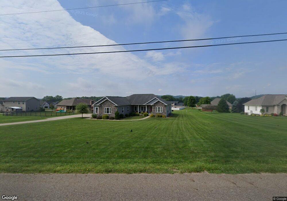
5800 Wolf Run Rd SE Dennison, OH 44621
Estimated Value: $288,000 - $430,311
3
Beds
3
Baths
2,365
Sq Ft
$155/Sq Ft
Est. Value
About This Home
This home is located at 5800 Wolf Run Rd SE, Dennison, OH 44621 and is currently estimated at $366,578, approximately $155 per square foot. 5800 Wolf Run Rd SE is a home with nearby schools including Claymont High School and Immaculate Conception School.
Ownership History
Date
Name
Owned For
Owner Type
Purchase Details
Closed on
Sep 1, 2016
Sold by
Spring Robert H and Spring Sharon M
Bought by
Haney Michael L and Haney Tamera L
Current Estimated Value
Home Financials for this Owner
Home Financials are based on the most recent Mortgage that was taken out on this home.
Original Mortgage
$130,000
Interest Rate
3.48%
Mortgage Type
Future Advance Clause Open End Mortgage
Purchase Details
Closed on
Jan 14, 2003
Sold by
Eastport Dev Corp Inc
Bought by
Spring Robert H and Spring Sharon M
Home Financials for this Owner
Home Financials are based on the most recent Mortgage that was taken out on this home.
Original Mortgage
$34,410
Interest Rate
6.23%
Mortgage Type
New Conventional
Create a Home Valuation Report for This Property
The Home Valuation Report is an in-depth analysis detailing your home's value as well as a comparison with similar homes in the area
Home Values in the Area
Average Home Value in this Area
Purchase History
| Date | Buyer | Sale Price | Title Company |
|---|---|---|---|
| Haney Michael L | $33,500 | None Available | |
| Spring Robert H | $34,000 | -- |
Source: Public Records
Mortgage History
| Date | Status | Borrower | Loan Amount |
|---|---|---|---|
| Closed | Haney Michael L | $130,000 | |
| Closed | Spring Robert H | $34,410 |
Source: Public Records
Tax History
| Year | Tax Paid | Tax Assessment Tax Assessment Total Assessment is a certain percentage of the fair market value that is determined by local assessors to be the total taxable value of land and additions on the property. | Land | Improvement |
|---|---|---|---|---|
| 2024 | $3,359 | $105,790 | $15,570 | $90,220 |
| 2023 | $3,359 | $302,240 | $44,480 | $257,760 |
| 2022 | $3,458 | $105,784 | $15,568 | $90,216 |
| 2021 | $3,361 | $94,648 | $17,175 | $77,473 |
| 2020 | $3,436 | $94,648 | $17,175 | $77,473 |
| 2019 | $3,174 | $94,648 | $17,175 | $77,473 |
| 2018 | $2,928 | $49,830 | $15,310 | $34,520 |
| 2017 | $1,769 | $49,830 | $15,310 | $34,520 |
| 2016 | $421 | $11,710 | $11,710 | $0 |
| 2014 | $413 | $11,310 | $11,310 | $0 |
| 2013 | $419 | $11,310 | $11,310 | $0 |
Source: Public Records
Map
Nearby Homes
- 5665 Innkeeper St SE
- 3515 Eastport Rd SE
- 0 Indian Hill Rd SE Unit 5190160
- 0 Canary Rd SE
- 0 Vernon St Unit 5009296
- 1305 Eastport Ave
- 0 Royal St
- 2993 Brightwood Rd SE
- 4707 E State St
- 0 Ford Dr
- 2215 Hilliard Dr
- 223 E 9th St
- 911 N Water St
- 639 N 1st St
- 4768 Fette Rd
- 717 N Dawson St
- 4747 Indian Hill Rd SE
- 4848 Fette Rd SE
- 316 N 2nd St
- 319 E 5th St
- 3837 Clay Ct SE
- 5780 Wolf Run Rd SE
- 3841 Clay Ct SE
- 3836 Clay Ct SE
- 355 Clay Ct
- 353 Clay Ct
- 351 Clay Ct
- 349 Clay Ct
- 347 Clay Ct
- 347 SE Clay Court Ct SE
- 3339 Eastport Rd SE
- 3853 Clay Ct SE
- 5750 Wolf Run Rd SE
- 3842 Clay Ct SE
- 3311 Eastport Rd SE
- 356 Clay Ct
- 354 Clay Ct
- 352 Clay Ct
- 350 Clay Ct
- 348 Clay Ct
Your Personal Tour Guide
Ask me questions while you tour the home.