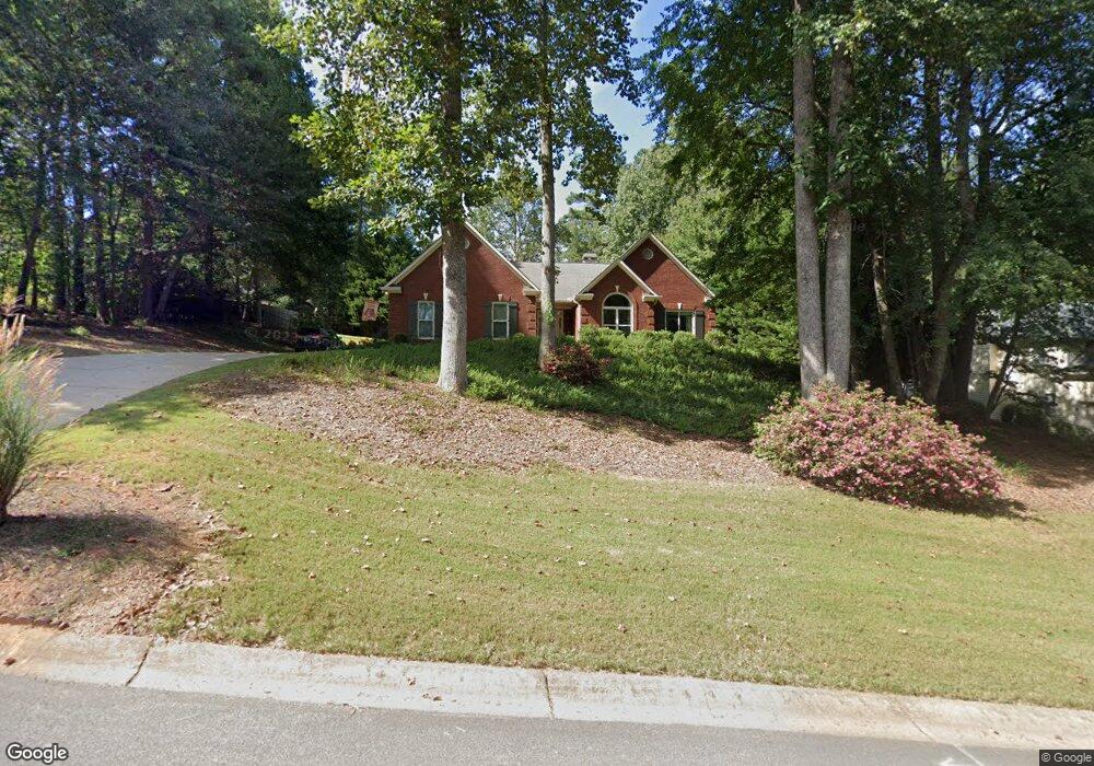
5809 Bayside Ct Buford, GA 30518
Estimated Value: $469,479 - $536,000
About This Home
This home is located at 5809 Bayside Ct, Buford, GA 30518 and is currently estimated at $499,370, approximately $208 per square foot. 5809 Bayside Ct is a home located in Hall County with nearby schools including Friendship Elementary School, C.W. Davis Middle School, and Flowery Branch High School.
Ownership History
We collect this data history from publicly available records. To have your information removed, we recommend requesting removal directly through your county’s website.
Purchase Details
Home Financials for this Owner
Home Financials are based on the most recent Mortgage that was taken out on this home.Purchase Details
Purchase Details
Home Values in the Area
Average Home Value in this Area
Purchase History
We collect this data history from publicly available records. To have your information removed, we recommend requesting removal directly through your county’s website.
| Date | Buyer | Sale Price | Title Company |
|---|---|---|---|
| $92,450 | -- | ||
| -- | -- | ||
| $30,000 | -- |
Mortgage History
We collect this data history from publicly available records. To have your information removed, we recommend requesting removal directly through your county’s website.
| Date | Status | Borrower | Loan Amount |
|---|---|---|---|
| Open | $175,650 |
Tax History
We collect this data history from publicly available records. To have your information removed, we recommend requesting removal directly through your county’s website.
| Year | Tax Paid | Tax Assessment Tax Assessment Total Assessment is a certain percentage of the fair market value that is determined by local assessors to be the total taxable value of land and additions on the property. | Land | Improvement |
|---|---|---|---|---|
| 2025 | $3,365 | $148,320 | $34,920 | $113,400 |
| 2024 | $3,624 | $143,280 | $34,040 | $109,240 |
| 2023 | $3,125 | $138,320 | $32,720 | $105,600 |
| 2022 | $3,122 | $118,680 | $32,720 | $85,960 |
| 2021 | $2,849 | $106,280 | $23,560 | $82,720 |
| 2020 | $2,950 | $107,040 | $15,720 | $91,320 |
| 2019 | $2,888 | $103,800 | $15,720 | $88,080 |
| 2018 | $2,487 | $86,280 | $11,720 | $74,560 |
| 2017 | $1,847 | $78,360 | $11,720 | $66,640 |
| 2016 | $1,805 | $64,199 | $7,960 | $56,239 |
| 2015 | $1,809 | $64,199 | $7,960 | $56,239 |
| 2014 | $1,809 | $64,199 | $7,960 | $56,239 |
Map
- 5804 County Ct
- 5813 Coles Ct
- 5966 Island View Dr
- 6238 Cascade Falls Dr
- 5697 Frontier Walk Ln
- 2608 Wendover Ct
- 5885 Bay View Dr
- 6029 Shadburn Ferry Rd
- 6172 New Bethany Rd
- 6142 Bethany View Trail
- 5580 Dusty Ridge Trail
- 1969 Lanier Harbor Point
- 1930 Lanier Harbor Point
- 1900 Lanier Harbor Point
- 6209 Bridgewood Dr
- 6119 Bethany View Trail
- 6415 Rock Springs Cir
- 6093 Shadburn Ferry Rd
- 2550 Ridgehurst Dr
- 6225 Bridgewood Dr
- 5802 Bayside Ct
- 5835 Lakeshore Rd
- 5828 Coles Ct
- 5805 Bayside Ct
- 5824 Coles Ct
- 5810 Bayside Ct
- 5851 Lakeshore Rd
- 5825 Coles Ct
- 2841 Windrush Dr
- 5855 Lakeshore Rd
- 5820 Coles Ct
- 5821 Coles Ct
- 5855 Brookside Ct
- 5814 Bayside Ct
- 5816 Coles Ct
- 5813 Bayside Ct
- 5817 Coles Ct
- 2806 Lake Wind Ct
- 5802 County Ct
- 2837 Windrush Dr
Ask me questions while you tour the home.