5835 N Hawk Rd Columbia, MO 65202
Estimated Value: $613,487 - $722,000
3
Beds
3
Baths
2,422
Sq Ft
$276/Sq Ft
Est. Value
About This Home
This home is located at 5835 N Hawk Rd, Columbia, MO 65202 and is currently estimated at $667,744, approximately $275 per square foot. 5835 N Hawk Rd is a home located in Boone County with nearby schools including John B. Lange Middle School and Muriel W. Battle High School.
Ownership History
Date
Name
Owned For
Owner Type
Purchase Details
Closed on
Jun 29, 2021
Sold by
Palmer Robert V
Bought by
Hall Ronald W
Current Estimated Value
Home Financials for this Owner
Home Financials are based on the most recent Mortgage that was taken out on this home.
Original Mortgage
$442,500
Outstanding Balance
$401,500
Interest Rate
2.9%
Mortgage Type
New Conventional
Estimated Equity
$266,244
Purchase Details
Closed on
Jun 22, 2016
Sold by
Woodruff Elizabeth
Bought by
Palmer Robert and Palmer Candace L
Home Financials for this Owner
Home Financials are based on the most recent Mortgage that was taken out on this home.
Original Mortgage
$400,000
Interest Rate
2.75%
Mortgage Type
Adjustable Rate Mortgage/ARM
Purchase Details
Closed on
Jul 20, 2012
Sold by
Prairie Oaks Llc
Bought by
Woodruff Elizabeth
Create a Home Valuation Report for This Property
The Home Valuation Report is an in-depth analysis detailing your home's value as well as a comparison with similar homes in the area
Purchase History
| Date | Buyer | Sale Price | Title Company |
|---|---|---|---|
| Hall Ronald W | -- | Boone Central Title Company | |
| Palmer Robert | -- | Boone Central Title Co | |
| Woodruff Elizabeth | -- | Boone Central Title Company |
Source: Public Records
Mortgage History
| Date | Status | Borrower | Loan Amount |
|---|---|---|---|
| Open | Hall Ronald W | $442,500 | |
| Previous Owner | Palmer Robert | $400,000 |
Source: Public Records
Tax History
| Year | Tax Paid | Tax Assessment Tax Assessment Total Assessment is a certain percentage of the fair market value that is determined by local assessors to be the total taxable value of land and additions on the property. | Land | Improvement |
|---|---|---|---|---|
| 2025 | $3,918 | $55,717 | $4,326 | $51,391 |
| 2024 | $3,683 | $50,929 | $4,326 | $46,603 |
| 2023 | $3,652 | $50,929 | $4,326 | $46,603 |
| 2022 | $3,396 | $47,395 | $4,326 | $43,069 |
| 2021 | $3,401 | $47,395 | $4,326 | $43,069 |
| 2020 | $3,603 | $47,395 | $4,326 | $43,069 |
| 2019 | $3,603 | $47,395 | $4,326 | $43,069 |
| 2018 | $3,626 | $0 | $0 | $0 |
| 2017 | $3,585 | $47,395 | $4,326 | $43,069 |
| 2016 | $3,579 | $47,395 | $4,326 | $43,069 |
| 2015 | $3,305 | $47,395 | $4,326 | $43,069 |
| 2014 | -- | $47,370 | $4,301 | $43,069 |
Source: Public Records
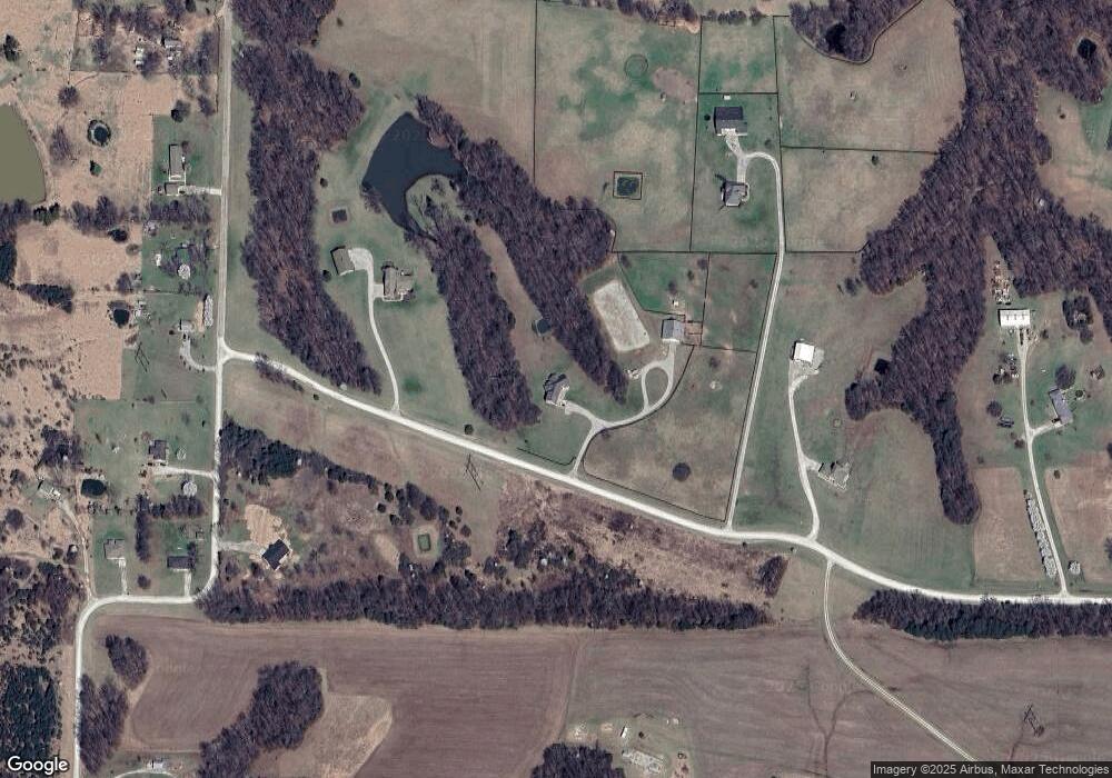
Map
Nearby Homes
- 5720 N Kircher Rd
- 0 E Hwy Hh Unit 431704
- 6706 Little Valley Dr
- 8400 N Phillipe Rd
- 000 E Mexico Gravel Rd
- 000 E Heller Rd
- 40 ACRES N Phillipe Rd
- 6908 E Mexico Gravel Rd
- 3920 Forester Ct
- 9325 E Saint Charles Rd
- 6176 Partridge Ct
- 4105 Creve Coeur Dr
- 5729 Kestrel Lp
- 5737 Kestrel Lp
- 11370 E Zaring Rd
- 200 E Saint Charles Rd
- 2435 N Travelers Dr
- 4001 Kirkwood Ct
- LOT 105 Willow Creek Unit 1
- 4008 Beechwood Dr
- 5835 N Hawk Rd
- TR 12 Hawk Rd
- TR 6 Hawk Rd
- TR 16 Hawk Rd
- TR 14 Hawk Rd
- TR 13 Hawk Rd
- TR 15 Hawk Rd
- TR 9 Hawk Rd
- TR 10 Hawk Rd
- TR 11 Hawk Rd
- TR 8 Hawk Rd
- 6001 N Liddell Ln
- 6051 N Liddell Ln
- TR 5 N Liddell Ln
- TR 17 N Liddell Ln
- TR B N Liddell Ln
- TR A N Liddell Ln
- TR 1 N Liddell Ln
- L 1 N Liddell Ln
- 5825 N Liddell Ln
Your Personal Tour Guide
Ask me questions while you tour the home.