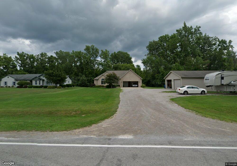
5845 Carter Rd Freeland, MI 48623
Estimated Value: $314,000 - $410,697
3
Beds
4
Baths
1,995
Sq Ft
$189/Sq Ft
Est. Value
About This Home
This home is located at 5845 Carter Rd, Freeland, MI 48623 and is currently estimated at $376,174, approximately $188 per square foot. 5845 Carter Rd is a home located in Bay County with nearby schools including Auburn Elementary School, Western Middle School, and Bay City Western High School.
Ownership History
Date
Name
Owned For
Owner Type
Purchase Details
Closed on
Feb 9, 2005
Sold by
Miller Ivan L and Miller Pamela M
Bought by
Bischer Michelle M
Current Estimated Value
Purchase Details
Closed on
Nov 26, 2003
Sold by
Miller Ivan L and Miller Pamela M
Bought by
Bischer Michelle M
Purchase Details
Closed on
Oct 15, 2003
Sold by
Miller Ivan L and Miller Pamela M
Bought by
Bischer Michelle M
Purchase Details
Closed on
May 29, 2001
Bought by
Bischer James M and Bischer Michelle M
Create a Home Valuation Report for This Property
The Home Valuation Report is an in-depth analysis detailing your home's value as well as a comparison with similar homes in the area
Home Values in the Area
Average Home Value in this Area
Purchase History
We collect this data history from publicly available records. To have your information removed, we recommend requesting removal directly through your county’s website.
| Date | Buyer | Sale Price | Title Company |
|---|---|---|---|
| Bischer Michelle M | -- | -- | |
| Bischer Michelle M | -- | -- | |
| Bischer Michelle M | -- | -- | |
| Bischer James M | $28,000 | -- |
Source: Public Records
Tax History
| Year | Tax Paid | Tax Assessment Tax Assessment Total Assessment is a certain percentage of the fair market value that is determined by local assessors to be the total taxable value of land and additions on the property. | Land | Improvement |
|---|---|---|---|---|
| 2025 | $2,559 | $205,800 | $0 | $0 |
| 2024 | $2,486 | $197,400 | $0 | $0 |
| 2023 | $2,366 | $178,800 | $0 | $0 |
| 2022 | $4,100 | $160,600 | $0 | $0 |
| 2021 | $3,809 | $149,500 | $149,500 | $0 |
| 2020 | $3,538 | $145,150 | $145,150 | $0 |
| 2019 | $3,408 | $124,200 | $0 | $0 |
| 2018 | $3,283 | $112,950 | $0 | $0 |
| 2017 | $3,126 | $103,900 | $0 | $0 |
| 2016 | $3,136 | $112,350 | $0 | $112,350 |
| 2015 | $3,055 | $95,300 | $0 | $95,300 |
| 2014 | $3,055 | $95,300 | $0 | $95,300 |
Source: Public Records
Map
Nearby Homes
- 10832 Carter Rd
- 4787 Briarwood Ct
- 10340 Midland Rd Unit 40
- 10340 Midland Rd Unit 24
- 4733 Briarwood Ct
- 2067 W Midland Rd
- 0 W Midland Rd Unit 50189337
- 0 W Midland Rd Unit 50152278
- 1598 Fisherville Ct
- 1587 Fisherville Ct
- Parcel 175 Joan Dr
- 4765 Raymond Rd
- 4797 Ronald Rd
- 4745 Bailey Bridge Rd
- 9780 Garfield Rd
- 4719 Polom Ct
- 10606 Tall Pine Ln
- 9 Sanctuary Way Unit 9
- 1075 Eddie Dr
- 4587 Eastwood Dr
- 5833 Carter Rd
- 5860 Carter Rd
- 5822 Carter Rd
- 5822 Carter Rd
- 5890 Carter Rd
- 5808 Carter Rd
- 5902 Carter Rd
- 5784 Carter Rd
- 5951 Carter Rd
- 1964 Hotchkiss Rd
- 11000 Carter Vl Parcel #4
- Lot 14 Dice
- 1982 Hotchkiss Rd
- 11000 Carter Rd
- 11000 Carter Road - Parcel #9
- 2054 Hotchkiss Rd
- 2058 Hotchkiss Rd
- 2092 Hotchkiss Rd
- 1920 Hotchkiss Rd
- 1850 Hotchkiss Rd
Your Personal Tour Guide
Ask me questions while you tour the home.