585 Goff Rd Wethersfield, CT 06109
Estimated Value: $464,813 - $616,000
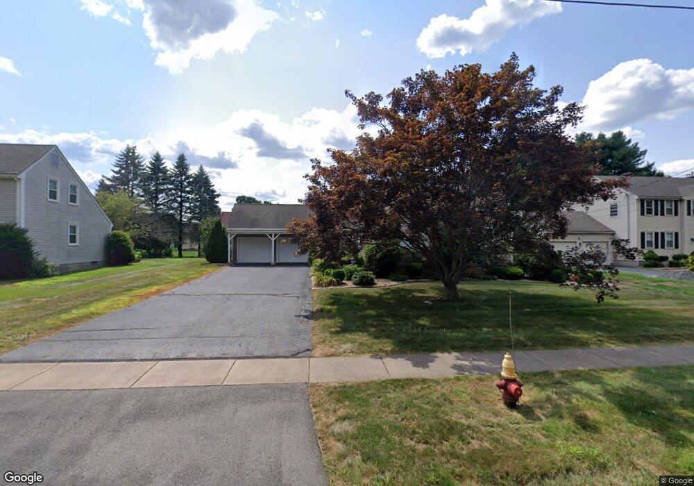
About This Home
This home is located at 585 Goff Rd, Wethersfield, CT 06109 and is currently estimated at $517,453, approximately $277 per square foot. 585 Goff Rd is a home located in Hartford County with nearby schools including Samuel B. Webb Elementary School, Silas Deane Middle School, and Wethersfield High School.
Ownership History
We collect this data history from publicly available records. To have your information removed, we recommend requesting removal directly through your county’s website.
Purchase Details
Purchase Details
Home Values in the Area
Average Home Value in this Area
Purchase History
We collect this data history from publicly available records. To have your information removed, we recommend requesting removal directly through your county’s website.
| Date | Buyer | Sale Price | Title Company |
|---|---|---|---|
| $219,900 | -- | ||
| $265,000 | -- |
Mortgage History
We collect this data history from publicly available records. To have your information removed, we recommend requesting removal directly through your county’s website.
| Date | Status | Borrower | Loan Amount |
|---|---|---|---|
| Open | $189,000 | ||
| Closed | $150,000 | ||
| Closed | $60,000 |
Tax History
We collect this data history from publicly available records. To have your information removed, we recommend requesting removal directly through your county’s website.
| Year | Tax Paid | Tax Assessment Tax Assessment Total Assessment is a certain percentage of the fair market value that is determined by local assessors to be the total taxable value of land and additions on the property. | Land | Improvement |
|---|---|---|---|---|
| 2025 | $12,300 | $298,390 | $110,670 | $187,720 |
| 2024 | $8,271 | $191,380 | $75,600 | $115,780 |
| 2023 | $7,996 | $191,380 | $75,600 | $115,780 |
| 2022 | $7,862 | $191,380 | $75,600 | $115,780 |
| 2021 | $7,783 | $191,380 | $75,600 | $115,780 |
| 2020 | $7,787 | $191,380 | $75,600 | $115,780 |
| 2019 | $7,797 | $191,380 | $75,600 | $115,780 |
| 2018 | $7,638 | $187,300 | $72,100 | $115,200 |
| 2017 | $7,449 | $187,300 | $72,100 | $115,200 |
| 2016 | $7,219 | $187,300 | $72,100 | $115,200 |
| 2015 | $7,153 | $187,300 | $72,100 | $115,200 |
| 2014 | $6,881 | $187,300 | $72,100 | $115,200 |
Map
- 24 Harvest Hill
- 28 Hayrake Dr
- 7 Barrington Dr Unit C
- 59 Thornbush Rd
- 15 Chaplin St
- 101 Collier Rd
- 76 Collier Rd
- 798 Wells Rd
- 274 Cedarwood Ln
- 76 Luca Lane Homesite 8
- 61 Luca Ln
- 67 Luca Ln
- 83 Forest Dr
- 47 Luca Ln
- 769 Ridge Rd
- 167 Cypress Rd Unit 167
- 165 Cypress Rd
- 6 Vinnie Dr
- 133 Forest Dr
- 139 Forest Dr
Ask me questions while you tour the home.