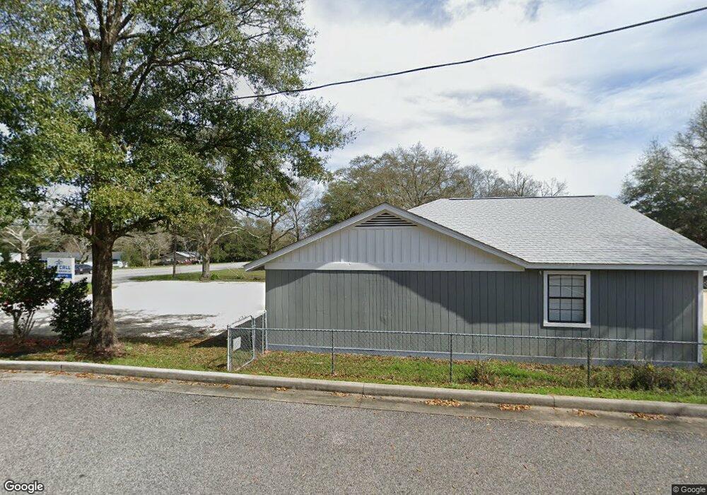
5851 Nevius Rd Mobile, AL 36619
Nevius NeighborhoodEstimated Value: $172,000 - $234,000
3
Beds
2
Baths
1,906
Sq Ft
$107/Sq Ft
Est. Value
About This Home
This home is located at 5851 Nevius Rd, Mobile, AL 36619 and is currently estimated at $203,155, approximately $106 per square foot. 5851 Nevius Rd is a home located in Mobile County with nearby schools including WC Griggs Elementary School, Burns Middle School, and Theodore High School.
Ownership History
Date
Name
Owned For
Owner Type
Purchase Details
Closed on
Nov 9, 2021
Sold by
Clemmons Mims Rita
Bought by
Diaz Edgardo M
Current Estimated Value
Purchase Details
Closed on
Jul 14, 2017
Sold by
Mims Rita Clemmons
Bought by
Diaz Edgardo M
Home Financials for this Owner
Home Financials are based on the most recent Mortgage that was taken out on this home.
Original Mortgage
$121,250
Interest Rate
3.94%
Mortgage Type
New Conventional
Create a Home Valuation Report for This Property
The Home Valuation Report is an in-depth analysis detailing your home's value as well as a comparison with similar homes in the area
Home Values in the Area
Average Home Value in this Area
Purchase History
| Date | Buyer | Sale Price | Title Company |
|---|---|---|---|
| Diaz Edgardo M | -- | -- | |
| Diaz Edgardo M | $125,000 | None Available |
Source: Public Records
Mortgage History
| Date | Status | Borrower | Loan Amount |
|---|---|---|---|
| Previous Owner | Diaz Edgardo M | $121,250 |
Source: Public Records
Tax History
| Year | Tax Paid | Tax Assessment Tax Assessment Total Assessment is a certain percentage of the fair market value that is determined by local assessors to be the total taxable value of land and additions on the property. | Land | Improvement |
|---|---|---|---|---|
| 2025 | $1,441 | $9,700 | $1,600 | $8,100 |
| 2024 | $1,441 | $9,110 | $1,500 | $7,610 |
| 2023 | $1,384 | $9,080 | $1,500 | $7,580 |
| 2022 | $830 | $8,560 | $1,500 | $7,060 |
| 2021 | $808 | $16,660 | $3,000 | $13,660 |
| 2020 | $809 | $16,680 | $3,000 | $13,680 |
| 2019 | $760 | $15,660 | $0 | $0 |
| 2018 | $760 | $15,660 | $0 | $0 |
| 2017 | $313 | $7,840 | $0 | $0 |
| 2016 | $322 | $8,020 | $0 | $0 |
| 2013 | $370 | $8,780 | $0 | $0 |
Source: Public Records
Map
Nearby Homes
- 4630 General Rd
- 5774 Nevius Rd
- 4800 Bush Ln
- 4320 Binghamton Dr
- 4314 Lumsden Battery Cir W
- 5023 Freeway Ln
- 5480 Inn Rd
- 6116 General Lee Ave
- 5015 Santos Dr W
- 5544 Candia Ct
- 5185 Santos Dr W
- 5084 Fairland Dr
- 0 Stone Mill Ct Unit 7715820
- 0 Stone Mill Ct Unit 1
- 0 Stone Mill Dr Unit 6
- 0 Stone Mill Dr Unit 7570233
- 0 Stone Mill Dr Unit 7738140
- 0 Stone Mill Dr Unit 9 381415
- 5171 Fairland Dr
- 4860 Lucinda Dr
- 5839 Nevius Rd
- 4600 General Rd
- 4526 Binghamton Dr
- 5801 Nevius Rd
- 4567 Bush Ln
- 4567 Bush Ln
- 4618 General Rd
- 4525 Binghamton Dr
- 5866 Nevius Rd
- 4512 Binghamton Dr Unit 1
- 4575 Bush Ln
- 5818 Nevius Rd
- 5781 Nevius Rd
- 4601 Bush Ln
- 4615 Bush Ln
- 5800 Nevius Rd
- 4500 Binghamton Dr
- 4611 General Rd
- 4513 Binghamton Dr
- 5771 Nevius Rd
Your Personal Tour Guide
Ask me questions while you tour the home.