586 Route 38 E Maple Shade, NJ 08052
Estimated Value: $2,275,520
About This Home
This home is located at 586 Route 38 E, Maple Shade, NJ 08052 and is currently estimated at $2,275,520, approximately $322 per square foot. 586 Route 38 E is a home located in Burlington County with nearby schools including Maude M. Wilkins Elementary School, Ralph J Steinhauer Elementary School, and Howard R Yocum School.
Ownership History
We collect this data history from publicly available records. To have your information removed, we recommend requesting removal directly through your county’s website.
Purchase Details
Purchase Details
Purchase Details
Home Financials for this Owner
Home Financials are based on the most recent Mortgage that was taken out on this home.Purchase Details
Purchase Details
Purchase Details
Home Financials for this Owner
Home Financials are based on the most recent Mortgage that was taken out on this home.Purchase Details
Purchase Details
Home Values in the Area
Average Home Value in this Area
Purchase History
We collect this data history from publicly available records. To have your information removed, we recommend requesting removal directly through your county’s website.
| Date | Buyer | Sale Price | Title Company |
|---|---|---|---|
| $2,200,000 | Westcor Land Title | ||
| $2,200,000 | Westcor Land Title | ||
| $2,300,000 | -- | ||
| $3,333,333 | Two Riverside Title Co Llc | ||
| -- | None Available | ||
| $2,200,000 | None Available | ||
| $1,509,000 | None Available | ||
| $425,000 | Congress Title Corp | ||
| $2,050,000 | Land Title Agency Inc |
Mortgage History
We collect this data history from publicly available records. To have your information removed, we recommend requesting removal directly through your county’s website.
| Date | Status | Borrower | Loan Amount |
|---|---|---|---|
| Previous Owner | $4,250,000 | ||
| Previous Owner | $2,043,000 |
Tax History
We collect this data history from publicly available records. To have your information removed, we recommend requesting removal directly through your county’s website.
| Year | Tax Paid | Tax Assessment Tax Assessment Total Assessment is a certain percentage of the fair market value that is determined by local assessors to be the total taxable value of land and additions on the property. | Land | Improvement |
|---|---|---|---|---|
| 2025 | $46,148 | $1,215,700 | $600,000 | $615,700 |
| 2024 | $44,811 | $1,215,700 | $600,000 | $615,700 |
| 2023 | $44,811 | $1,215,700 | $600,000 | $615,700 |
| 2022 | $44,118 | $1,215,700 | $600,000 | $615,700 |
| 2021 | $43,692 | $1,215,700 | $600,000 | $615,700 |
| 2020 | $43,814 | $1,215,700 | $600,000 | $615,700 |
| 2019 | $42,209 | $1,215,700 | $600,000 | $615,700 |
| 2018 | $41,480 | $1,215,700 | $600,000 | $615,700 |
| 2017 | $40,993 | $1,215,700 | $600,000 | $615,700 |
| 2016 | $40,386 | $1,215,700 | $600,000 | $615,700 |
| 2015 | $39,510 | $1,215,700 | $600,000 | $615,700 |
| 2014 | $38,307 | $1,215,700 | $600,000 | $615,700 |
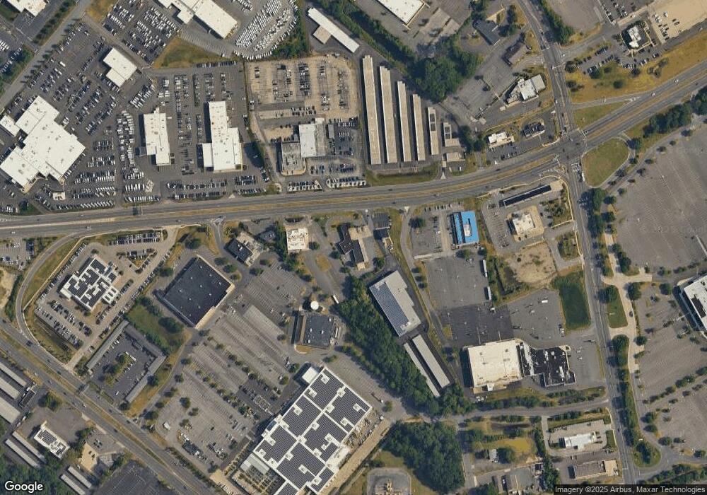
Map
- 7 Brookdale Dr
- 115 E Kings Hwy Unit 271
- 115 E Kings Hwy Unit 186
- 115 E Kings Hwy Unit 392
- 115 E Kings Hwy Unit 211
- 115 E Kings Hwy Unit 246
- 7 Kings Hwy N
- 41 Kings Hwy N
- 93 Westbrook Dr
- 25 S Church Rd Unit 56
- 25 S Church Rd Unit 93
- 25 S Church Rd Unit 138
- 25 S Church Rd Unit 39
- 25 S Church Rd Unit 131
- 25 S Church Rd Unit 89
- 52 Westbrook Dr
- 119 Kings Croft
- 115 Kings Croft
- 126 Kings Croft
- 116 Forest Rd
- 586 Route
- 584 Route 38 E
- 35 Willow Rd
- 2840 Route 73 N
- 468 S Lenola Rd
- 17 Willow Rd
- 2844 Route 73 N
- 300 S Lenola Rd Unit 3
- 300 S Lenola Rd
- 2814 Route 73 N
- 2817 Route 73 S
- 509 S Lenola Rd Unit 10
- 509 S Lenola Rd Unit 9
- 509 S Lenola Rd Unit 8
- 509 S Lenola Rd Unit 7
- 509 S Lenola Rd Unit 5
- 509 S Lenola Rd Unit 709
- 18 Gregory Ct
- 115 E 286 Unit 286
- 22 Gregory Ct
Ask me questions while you tour the home.