59 Barnes Rd Washington, CT 06793
Estimated Value: $1,261,000 - $1,713,666
About This Home
This home is located at 59 Barnes Rd, Washington, CT 06793 and is currently estimated at $1,531,167, approximately $395 per square foot. 59 Barnes Rd is a home located in Litchfield County with nearby schools including Shepaug Valley School, The Glenholme School, and The Frederick Gunn School.
Ownership History
We collect this data history from publicly available records. To have your information removed, we recommend requesting removal directly through your county’s website.
Purchase Details
Home Financials for this Owner
Home Financials are based on the most recent Mortgage that was taken out on this home.Home Values in the Area
Average Home Value in this Area
Purchase History
We collect this data history from publicly available records. To have your information removed, we recommend requesting removal directly through your county’s website.
| Date | Buyer | Sale Price | Title Company |
|---|---|---|---|
| $700,000 | -- | ||
| $700,000 | -- |
Mortgage History
We collect this data history from publicly available records. To have your information removed, we recommend requesting removal directly through your county’s website.
| Date | Status | Borrower | Loan Amount |
|---|---|---|---|
| Closed | $450,000 | ||
| Closed | $215,000 |
Tax History
We collect this data history from publicly available records. To have your information removed, we recommend requesting removal directly through your county’s website.
| Year | Tax Paid | Tax Assessment Tax Assessment Total Assessment is a certain percentage of the fair market value that is determined by local assessors to be the total taxable value of land and additions on the property. | Land | Improvement |
|---|---|---|---|---|
| 2025 | $10,414 | $959,770 | $281,330 | $678,440 |
| 2024 | $10,414 | $959,770 | $281,330 | $678,440 |
| 2023 | $9,655 | $677,540 | $282,450 | $395,090 |
| 2022 | $9,655 | $677,540 | $282,450 | $395,090 |
| 2021 | $5,139 | $677,540 | $282,450 | $395,090 |
| 2020 | $9,655 | $677,540 | $282,450 | $395,090 |
| 2019 | $9,655 | $677,540 | $282,450 | $395,090 |
| 2018 | $9,649 | $677,140 | $293,370 | $383,770 |
| 2017 | $9,830 | $689,840 | $293,370 | $396,470 |
| 2016 | $9,830 | $689,840 | $293,370 | $396,470 |
| 2015 | $9,485 | $689,840 | $293,370 | $396,470 |
| 2014 | $9,313 | $689,840 | $293,370 | $396,470 |
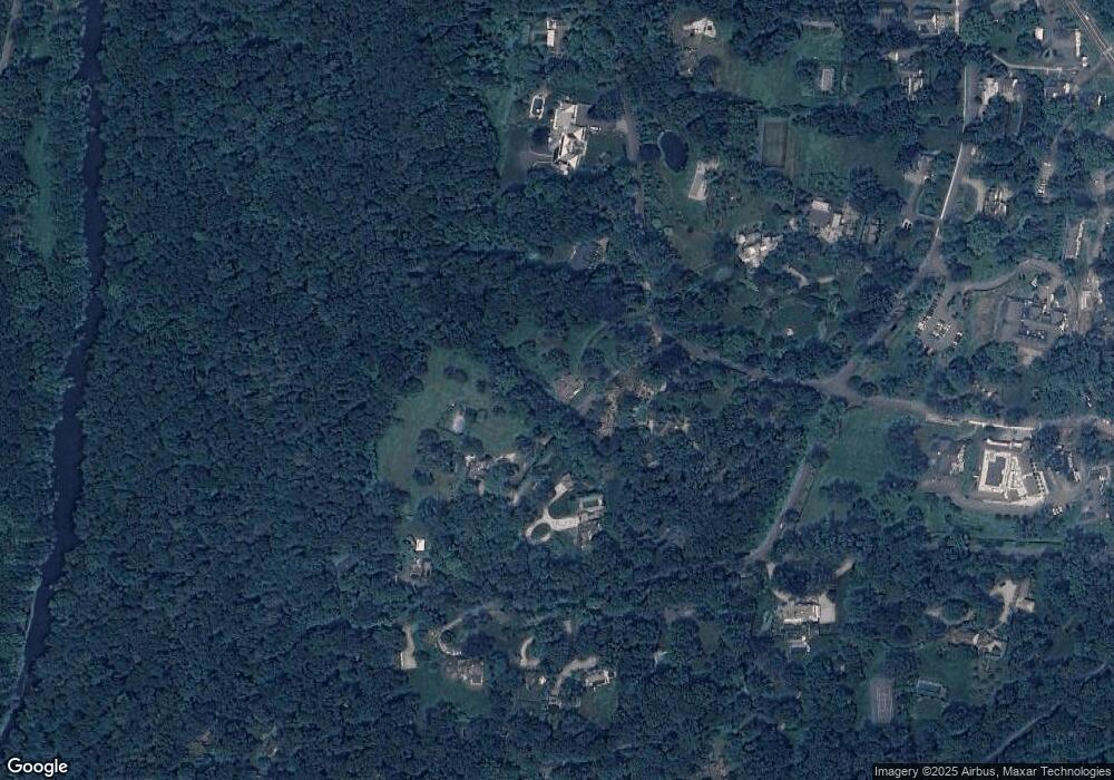
Map
- 32 Wykeham Rd
- 1 Sabbaday Ln
- 49 South St
- 14 Cook St
- 18 Curtis Rd
- 102 Wykeham Rd
- 36 Fenn Hill Rd
- 101 Lower Church Hill Rd
- 52 Calhoun St
- 37 Church Hill Rd
- 79 East St
- 85 W Church Hill Rd
- 0 Upper Church Hill Rd
- 307 North St
- 19 Juniper Meadow Rd
- 21 Juniper Meadow Rd
- 12 Juniper Meadow Rd
- 315 North St
- Lot 2 060804A Popple Swamp Rd
- LOT 1 060804 Popple Swamp Rd
Ask me questions while you tour the home.