59 Codman Rd Brookline, MA 02445
Brookline Village NeighborhoodEstimated Value: $5,903,747 - $7,962,000
9
Beds
7
Baths
8,154
Sq Ft
$869/Sq Ft
Est. Value
About This Home
This home is located at 59 Codman Rd, Brookline, MA 02445 and is currently estimated at $7,082,437, approximately $868 per square foot. 59 Codman Rd is a home located in Norfolk County with nearby schools including William H. Lincoln School, Brookline High School, and Maimonides School.
Create a Home Valuation Report for This Property
The Home Valuation Report is an in-depth analysis detailing your home's value as well as a comparison with similar homes in the area
Home Values in the Area
Average Home Value in this Area
Tax History
We collect this data history from publicly available records. To have your information removed, we recommend requesting removal directly through your county’s website.
| Year | Tax Paid | Tax Assessment Tax Assessment Total Assessment is a certain percentage of the fair market value that is determined by local assessors to be the total taxable value of land and additions on the property. | Land | Improvement |
|---|---|---|---|---|
| 2025 | $76,439 | $7,744,600 | $3,432,800 | $4,311,800 |
| 2024 | $73,059 | $7,477,900 | $3,300,800 | $4,177,100 |
| 2023 | $67,757 | $6,796,100 | $2,782,000 | $4,014,100 |
| 2022 | $65,954 | $6,472,400 | $2,649,400 | $3,823,000 |
| 2021 | $60,989 | $6,223,400 | $2,547,500 | $3,675,900 |
| 2020 | $56,210 | $5,948,100 | $2,316,000 | $3,632,100 |
| 2019 | $53,079 | $5,664,800 | $2,205,700 | $3,459,100 |
| 2018 | $51,781 | $5,473,700 | $2,116,800 | $3,356,900 |
| 2017 | $51,017 | $5,163,700 | $1,996,800 | $3,166,900 |
| 2016 | $50,286 | $4,825,900 | $1,866,200 | $2,959,700 |
| 2015 | $48,169 | $4,510,200 | $1,744,100 | $2,766,100 |
| 2014 | $49,605 | $4,355,100 | $1,585,400 | $2,769,700 |
Source: Public Records
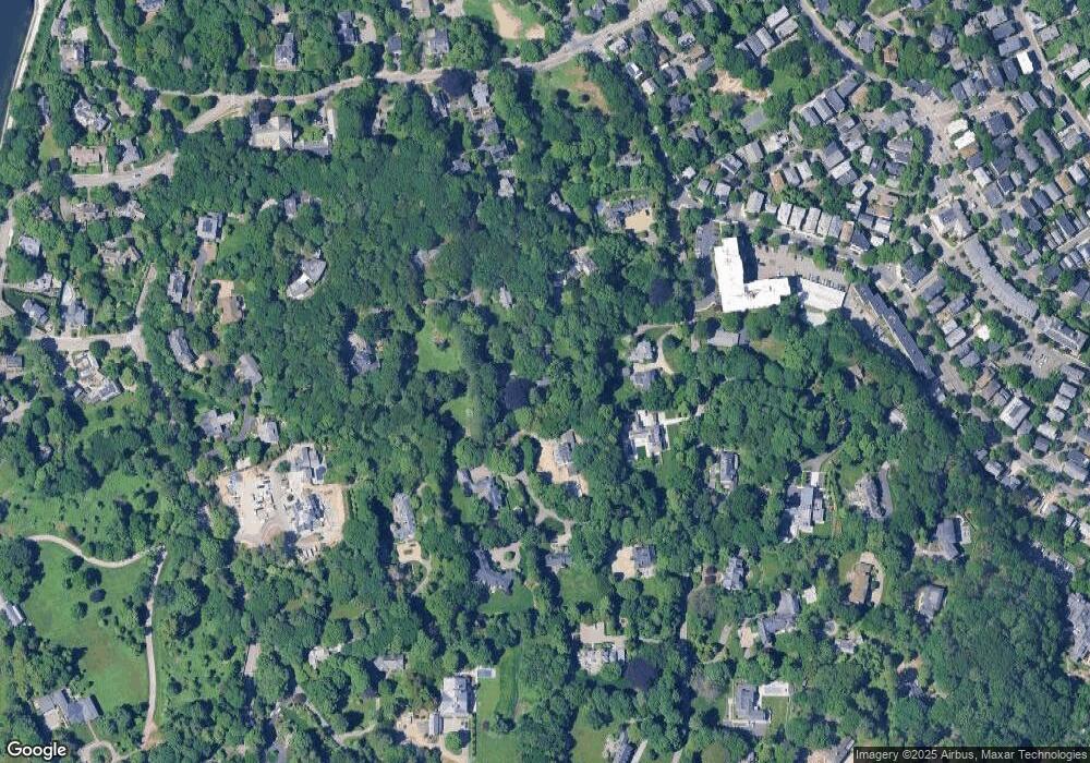
Map
Nearby Homes
- 1 Chestnut Place
- 22 Chestnut Place Unit 306
- 108 Codman Rd
- 68 Chestnut St Unit 2
- 258-260 Cypress St
- 16 Kennard Rd
- 428 Boylston St
- 185 Warren St
- 157 Cypress St Unit 2
- 293 Cypress St
- 50 Franklin St
- 241 Perkins St Unit D204
- 241 Perkins St Unit C403
- 241 Perkins St Unit B102
- 241 Perkins St Unit C603
- 68 Dudley St
- 222 Warren St
- 39 Cottage St
- 50 Sumner Rd
- 30 Cameron St Unit 7
- 77 Codman Rd
- 41 Codman Rd
- 11 Chestnut Place
- 60 Codman Rd
- 29 Chestnut Place
- 35 Chestnut Place
- 47 Sargent Rd
- 36 Codman Rd
- 99 Codman Rd
- 100 Codman Rd
- 86 Chestnut Place Unit 2
- 33 Chestnut St
- 5 Perrin Rd
- 26 Codman Rd
- 18 Chestnut Place
- 235 Sargent Rd
- 22 Chestnut Place Unit G2
- 22 Chestnut Place Unit M4
- 22 Chestnut Place Unit M2
- 22 Chestnut Place Unit M1
Your Personal Tour Guide
Ask me questions while you tour the home.