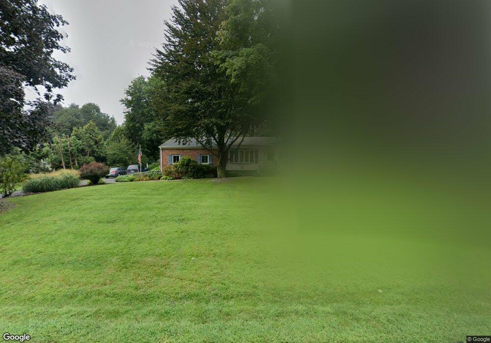
59 Crest Dr Basking Ridge, NJ 07920
Estimated Value: $804,893 - $964,000
Studio
--
Bath
1,918
Sq Ft
$469/Sq Ft
Est. Value
About This Home
This home is located at 59 Crest Dr, Basking Ridge, NJ 07920 and is currently estimated at $898,723, approximately $468 per square foot. 59 Crest Dr is a home located in Somerset County with nearby schools including Cedar Hill Elementary School, William Annin Middle School, and Ridge High School.
Ownership History
Date
Name
Owned For
Owner Type
Purchase Details
Closed on
May 6, 2020
Sold by
Defaria Richard
Bought by
Defaria Dorothy
Current Estimated Value
Purchase Details
Closed on
Jun 4, 2013
Sold by
Klehm Dorothy and Defaria Dorothy
Bought by
Defaria Dorothy and Defaria Richard
Purchase Details
Closed on
May 29, 2010
Sold by
Ward Kevin and Ward Patricia
Bought by
Klehm Dorothy
Home Financials for this Owner
Home Financials are based on the most recent Mortgage that was taken out on this home.
Original Mortgage
$402,000
Outstanding Balance
$271,396
Interest Rate
5.12%
Mortgage Type
New Conventional
Estimated Equity
$627,327
Purchase Details
Closed on
Feb 14, 2003
Sold by
Volpe Rocco
Bought by
Ward Kevin and Ward Patricia
Home Financials for this Owner
Home Financials are based on the most recent Mortgage that was taken out on this home.
Original Mortgage
$369,600
Interest Rate
5.98%
Create a Home Valuation Report for This Property
The Home Valuation Report is an in-depth analysis detailing your home's value as well as a comparison with similar homes in the area
Home Values in the Area
Average Home Value in this Area
Purchase History
| Date | Buyer | Sale Price | Title Company |
|---|---|---|---|
| Defaria Dorothy | -- | First American Title | |
| Defaria Dorothy | -- | None Available | |
| Klehm Dorothy | $541,000 | First American Title Ins Co | |
| Ward Kevin | $462,000 | -- |
Source: Public Records
Mortgage History
| Date | Status | Borrower | Loan Amount |
|---|---|---|---|
| Open | Klehm Dorothy | $402,000 | |
| Previous Owner | Ward Kevin | $369,600 |
Source: Public Records
Tax History
| Year | Tax Paid | Tax Assessment Tax Assessment Total Assessment is a certain percentage of the fair market value that is determined by local assessors to be the total taxable value of land and additions on the property. | Land | Improvement |
|---|---|---|---|---|
| 2025 | $11,469 | $725,500 | $391,500 | $334,000 |
| 2024 | $11,469 | $644,700 | $361,500 | $283,200 |
| 2023 | $11,218 | $594,800 | $361,500 | $233,300 |
| 2022 | $11,521 | $572,900 | $361,500 | $211,400 |
| 2021 | $11,736 | $556,200 | $361,500 | $194,700 |
| 2020 | $11,416 | $545,200 | $361,500 | $183,700 |
| 2019 | $11,415 | $561,200 | $366,500 | $194,700 |
| 2018 | $11,206 | $558,900 | $361,500 | $197,400 |
| 2017 | $10,965 | $551,300 | $361,500 | $189,800 |
| 2016 | $10,869 | $557,100 | $361,500 | $195,600 |
| 2015 | $10,726 | $559,800 | $361,500 | $198,300 |
| 2014 | $10,446 | $540,100 | $361,500 | $178,600 |
Source: Public Records
Map
Nearby Homes
- 24 Spring Valley Blvd Ondo
- 24 Spring Valley Blvd
- 12 Smithfield Ct
- 46 Smithfield Ct
- 58 Smithfield Ct Unit 10
- 1 Joss Way
- 19 Cooper Ln
- 17 Cooper Ln Unit 8
- 9 Cooper Ln
- 168 Potomac Dr Condo Unit 168
- 192 Potomac Dr Condo Unit 192
- 22 Alexandria Way
- 78 Potomac Dr Ondo
- 27 Potomac Dr
- 209 Northfield Rd
- 195 Alexandria Way
- 28 Wagners Ln
- 28 Dahlia Dr
- 21 Dahlia Dr
- 12 Marigold Ct
Your Personal Tour Guide
Ask me questions while you tour the home.