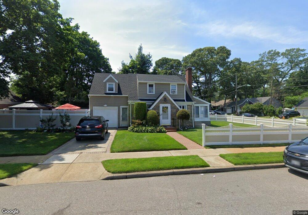
59 Davis St Freeport, NY 11520
Estimated Value: $594,000 - $603,477
3
Beds
2
Baths
1,306
Sq Ft
$458/Sq Ft
Est. Value
About This Home
This home is located at 59 Davis St, Freeport, NY 11520 and is currently estimated at $598,739, approximately $458 per square foot. 59 Davis St is a home located in Nassau County with nearby schools including Roosevelt Middle School, Roosevelt High School, and Roosevelt Children's Academy.
Ownership History
Date
Name
Owned For
Owner Type
Purchase Details
Closed on
May 6, 2014
Sold by
Gordon Stephanie
Bought by
Hubbard Junior Charles P and Glasgow Yonnette
Current Estimated Value
Home Financials for this Owner
Home Financials are based on the most recent Mortgage that was taken out on this home.
Original Mortgage
$193,600
Outstanding Balance
$147,546
Interest Rate
4.33%
Mortgage Type
New Conventional
Estimated Equity
$451,193
Purchase Details
Closed on
Nov 25, 2013
Sold by
Gordon Gladstone B and Gordon Stephanie
Bought by
Gordon Stephanie
Create a Home Valuation Report for This Property
The Home Valuation Report is an in-depth analysis detailing your home's value as well as a comparison with similar homes in the area
Home Values in the Area
Average Home Value in this Area
Purchase History
| Date | Buyer | Sale Price | Title Company |
|---|---|---|---|
| Hubbard Junior Charles P | $242,000 | -- | |
| Gordon Stephanie | -- | -- |
Source: Public Records
Mortgage History
| Date | Status | Borrower | Loan Amount |
|---|---|---|---|
| Open | Hubbard Junior Charles P | $193,600 |
Source: Public Records
Tax History
| Year | Tax Paid | Tax Assessment Tax Assessment Total Assessment is a certain percentage of the fair market value that is determined by local assessors to be the total taxable value of land and additions on the property. | Land | Improvement |
|---|---|---|---|---|
| 2025 | $5,595 | $304 | $104 | $200 |
| 2024 | $682 | $308 | $105 | $203 |
Source: Public Records
Map
Nearby Homes
- 12 King St
- 20 Sterling Place
- 65 Mount Joy Ave
- 24 Pleasant Ave
- 48 Pleasant Ave
- 67 Ellison Ave
- 111 W Centennial Ave
- 22 Colonial Ave
- 20 Ronald Place
- 193 W Centennial Ave
- 189 Evans Ave
- 200 Evans Ave
- 117 Woodside Ave
- 110 Woodside Ave
- 315 Maryland Ave
- 156 Brookside Ave
- 119 E Fulton Ave
- 255 Moore Ave
- 50 Charles St
- 139 New York Ave
Your Personal Tour Guide
Ask me questions while you tour the home.