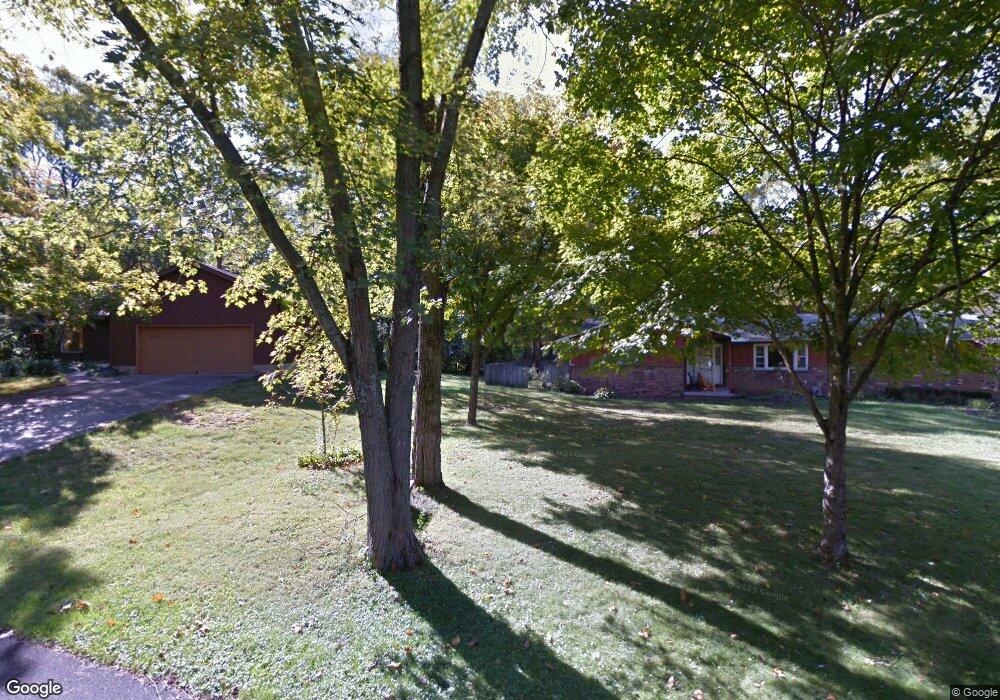
59 Dunhill St Columbus, OH 43235
Village at Worthington NeighborhoodEstimated Value: $394,000 - $544,000
3
Beds
2
Baths
1,682
Sq Ft
$287/Sq Ft
Est. Value
About This Home
This home is located at 59 Dunhill St, Columbus, OH 43235 and is currently estimated at $483,250, approximately $287 per square foot. 59 Dunhill St is a home located in Franklin County with nearby schools including Slate Hill Elementary School, Worthingway Middle School, and Thomas Worthington High School.
Ownership History
Date
Name
Owned For
Owner Type
Purchase Details
Closed on
Oct 30, 2024
Sold by
Sonja L Demuth Family Trust and Demuth David W
Bought by
Bbm Management Group Llc
Current Estimated Value
Purchase Details
Closed on
Aug 17, 1994
Sold by
Carrigan Margaret R
Bought by
Moss John A and Moss Kathleen A
Home Financials for this Owner
Home Financials are based on the most recent Mortgage that was taken out on this home.
Original Mortgage
$75,000
Interest Rate
8.73%
Mortgage Type
New Conventional
Create a Home Valuation Report for This Property
The Home Valuation Report is an in-depth analysis detailing your home's value as well as a comparison with similar homes in the area
Home Values in the Area
Average Home Value in this Area
Purchase History
| Date | Buyer | Sale Price | Title Company |
|---|---|---|---|
| Bbm Management Group Llc | $405,000 | Search2close | |
| Bbm Management Group Llc | $405,000 | Search2close | |
| Moss John A | $154,500 | -- |
Source: Public Records
Mortgage History
| Date | Status | Borrower | Loan Amount |
|---|---|---|---|
| Previous Owner | Moss John A | $75,000 |
Source: Public Records
Tax History
| Year | Tax Paid | Tax Assessment Tax Assessment Total Assessment is a certain percentage of the fair market value that is determined by local assessors to be the total taxable value of land and additions on the property. | Land | Improvement |
|---|---|---|---|---|
| 2025 | $10,010 | $147,110 | $71,160 | $75,950 |
| 2024 | $10,010 | $147,110 | $71,160 | $75,950 |
| 2023 | $9,674 | $147,105 | $71,155 | $75,950 |
| 2022 | $7,904 | $101,260 | $25,310 | $75,950 |
| 2021 | $7,374 | $101,260 | $25,310 | $75,950 |
| 2020 | $7,143 | $101,260 | $25,310 | $75,950 |
| 2019 | $6,980 | $88,800 | $22,020 | $66,780 |
| 2018 | $5,799 | $88,800 | $22,020 | $66,780 |
| 2017 | $6,351 | $88,800 | $22,020 | $66,780 |
| 2016 | $4,800 | $65,600 | $18,520 | $47,080 |
| 2015 | $4,801 | $65,600 | $18,520 | $47,080 |
| 2014 | $4,799 | $65,600 | $18,520 | $47,080 |
| 2013 | $2,411 | $65,590 | $18,515 | $47,075 |
Source: Public Records
Map
Nearby Homes
- 93 Forest Ridge Ct
- 91 Pocono Rd
- 336 Brownsfell Dr
- 67 Highland Pointe Cir Unit 67
- 117 Lake Bluff Dr
- 8058 Flint Rd
- 8176 Lake Bluff Ct
- 8050 Flint Run Place Unit 8050
- 70 Highbluffs Blvd Unit 70
- 579 Mawyer Dr Unit 168
- 8240 Spruce Needle Ct
- 8322 Bruntsfield Rd Unit 8322
- 8326 Bruntsfield Rd
- 713 Michael View Ct Unit 86
- 705 Keys View Ct Unit 67
- 722 Michael View Ct Unit 122
- 717 Alta View Ct Unit 28
- 777 Ficus Dr Unit 25E
- 703 Suntree Dr
- 8359 Orchard Knoll Ln Unit 1-8359
- 55 Forest Ridge Dr
- 44 Pocono Rd
- 43 Forest Ridge Dr
- 36 Pocono Rd
- 55 Dunhill St
- 20 Pocono Rd
- 60 Pocono Rd
- 7844 Flint Rd
- 61 Forest Ridge Dr
- 44 Forest Ridge Dr
- 35 Pocono Rd
- 7790 Flint Rd
- 56 Forest Ridge Dr
- 70 Pocono Rd
- 70 Forest Ridge Dr
- 0 Forest Ridge Dr
- 75 Forest Ridge Dr
- 61 Pocono Rd
- 45 Pocono Rd
- 7845 Flint Rd
Your Personal Tour Guide
Ask me questions while you tour the home.