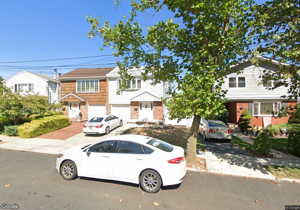
59 E Scranton Ave Staten Island, NY 10308
Great Kills NeighborhoodEstimated Value: $829,944 - $991,000
About This Home
This home is located at 59 E Scranton Ave, Staten Island, NY 10308 and is currently estimated at $916,236, approximately $487 per square foot. 59 E Scranton Ave is a home located in Richmond County with nearby schools including P.S. 32 The Gifford School, Myra S. Barnes Intermediate School 24, and Susan E Wagner High School.
Ownership History
We collect this data history from publicly available records. To have your information removed, we recommend requesting removal directly through your county’s website.
Purchase Details
Home Financials for this Owner
Home Financials are based on the most recent Mortgage that was taken out on this home.Home Values in the Area
Average Home Value in this Area
Purchase History
We collect this data history from publicly available records. To have your information removed, we recommend requesting removal directly through your county’s website.
| Date | Buyer | Sale Price | Title Company |
|---|---|---|---|
| $215,500 | Commonwealth Land Title Ins |
Mortgage History
We collect this data history from publicly available records. To have your information removed, we recommend requesting removal directly through your county’s website.
| Date | Status | Borrower | Loan Amount |
|---|---|---|---|
| Open | $204,700 |
Tax History
We collect this data history from publicly available records. To have your information removed, we recommend requesting removal directly through your county’s website.
| Year | Tax Paid | Tax Assessment Tax Assessment Total Assessment is a certain percentage of the fair market value that is determined by local assessors to be the total taxable value of land and additions on the property. | Land | Improvement |
|---|---|---|---|---|
| 2026 | $7,482 | $48,420 | $8,533 | $39,887 |
| 2025 | $7,486 | $48,600 | $8,021 | $40,579 |
| 2024 | $7,498 | $39,720 | $9,814 | $29,906 |
| 2023 | $7,510 | $38,380 | $8,506 | $29,874 |
| 2022 | $6,941 | $42,180 | $10,080 | $32,100 |
| 2021 | $6,886 | $38,220 | $10,080 | $28,140 |
| 2020 | $6,526 | $40,500 | $10,080 | $30,420 |
| 2019 | $6,449 | $36,660 | $10,080 | $26,580 |
| 2018 | $6,222 | $31,983 | $9,344 | $22,639 |
| 2017 | $5,851 | $30,173 | $9,422 | $20,751 |
| 2016 | $5,381 | $28,466 | $8,586 | $19,880 |
| 2015 | $4,849 | $26,856 | $7,736 | $19,120 |
| 2014 | $4,849 | $26,856 | $7,768 | $19,088 |
Map
- 403 Leverett Ave
- 52 E Reading Ave
- 158 Brookfield Ave
- 478 Leverett Ave
- 287 Abingdon Ave
- 33 Middle Loop Rd
- 37 Middle Loop Rd
- 61 Middle Loop Rd
- 237 Brookfield Ave
- 360 Barlow Ave Unit 24
- 360 Barlow Ave Unit 5A
- 526 Leverett Ave
- 307 Leverett Ave
- 119 Cortelyou Ave Unit 1-2
- 372 Barlow Ave
- 47 Stanley Cir
- 137 E Figurea Ave
- 267 Doane Ave
- 437 Katan Ave
- 115 Abingdon Ave
- 36 E Stroud Ave
- 40 E Stroud Ave
- 32 E Stroud Ave
- 44 E Stroud Ave
- 28 E Stroud Ave
- 41 E Scranton Ave
- 37 E Scranton Ave
- 47 E Scranton Ave
- 48 E Stroud Ave
- 24 E Stroud Ave
- 33 E Scranton Ave
- 51 E Scranton Ave
- 29 E Scranton Ave
- 37 E Stroud Ave Unit 2
- 37 E Stroud Ave Unit 1
- 52 E Stroud Ave
- 20 E Stroud Ave
- 41 E Stroud Ave
- 29 E Stroud Ave
- 45 E Stroud Ave
Ask me questions while you tour the home.