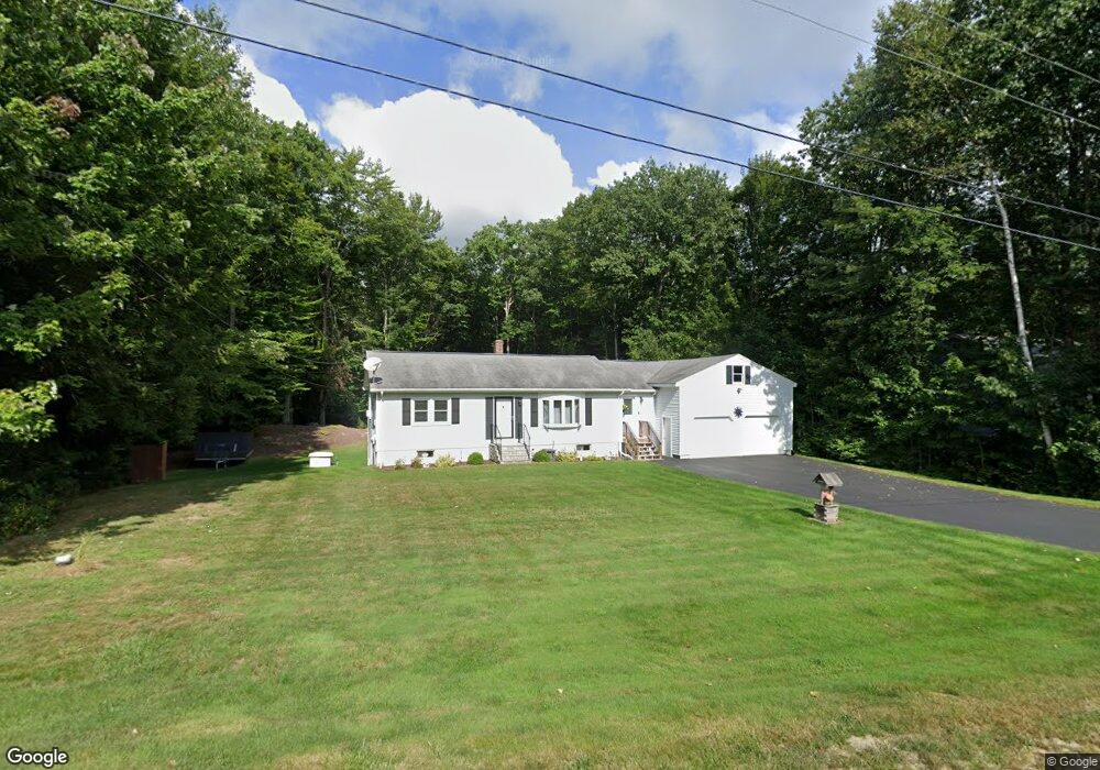
59 Kevin Cir Buxton, ME 04093
Estimated Value: $383,000 - $475,000
2
Beds
2
Baths
1,184
Sq Ft
$368/Sq Ft
Est. Value
About This Home
This home is located at 59 Kevin Cir, Buxton, ME 04093 and is currently estimated at $435,620, approximately $367 per square foot. 59 Kevin Cir is a home with nearby schools including Bonny Eagle High School.
Create a Home Valuation Report for This Property
The Home Valuation Report is an in-depth analysis detailing your home's value as well as a comparison with similar homes in the area
Home Values in the Area
Average Home Value in this Area
Tax History
| Year | Tax Paid | Tax Assessment Tax Assessment Total Assessment is a certain percentage of the fair market value that is determined by local assessors to be the total taxable value of land and additions on the property. | Land | Improvement |
|---|---|---|---|---|
| 2025 | $3,992 | $350,200 | $106,000 | $244,200 |
| 2024 | $3,849 | $350,200 | $106,000 | $244,200 |
| 2023 | $3,653 | $350,200 | $106,000 | $244,200 |
| 2022 | $3,591 | $350,700 | $106,000 | $244,700 |
| 2021 | $3,129 | $216,371 | $65,700 | $150,671 |
| 2020 | $3,155 | $216,371 | $65,700 | $150,671 |
| 2019 | $2,865 | $193,300 | $65,700 | $127,600 |
| 2018 | $2,733 | $193,300 | $65,700 | $127,600 |
| 2017 | $2,629 | $193,300 | $65,700 | $127,600 |
| 2016 | $2,523 | $193,300 | $65,700 | $127,600 |
| 2015 | $2,503 | $193,300 | $65,700 | $127,600 |
| 2014 | $2,455 | $193,300 | $65,700 | $127,600 |
| 2013 | $2,416 | $193,300 | $65,700 | $127,600 |
Source: Public Records
Map
Nearby Homes
- 748 Parker Farm Rd
- 866 Parker Farm Lot A Rd
- 866 Parker Farm Lot B Rd
- 866 Parker Farm Rd Unit A
- 866 Parker Farm Rd Unit B
- 97 Old Standish Rd
- 8 Elliott Rd
- Lot 2 Commerce Way
- 30 Joan Dixon Way
- 159 Henry Hill Rd
- 223 Dingley Spring Rd
- 157 Long Plains Rd
- 10 Old Orchard Rd
- 32 Spiller Rd
- 16 Captain's Way
- 252 Ossipee Trail E
- 3 Cortland Place Unit 8
- 1 Cortland Place Unit 7
- 63 Ossipee Trail E
- 13 Cider Mill Ln
Your Personal Tour Guide
Ask me questions while you tour the home.