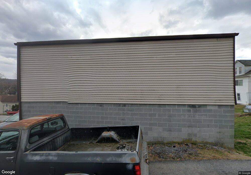
59 Maple St Mohnton, PA 19540
Estimated Value: $223,068 - $256,000
About This Home
This home is located at 59 Maple St, Mohnton, PA 19540 and is currently estimated at $235,517, approximately $249 per square foot. 59 Maple St is a home located in Berks County with nearby schools including Governor Mifflin Intermediate School, Brecknock Elementary School, and Governor Mifflin Middle School.
Ownership History
We collect this data history from publicly available records. To have your information removed, we recommend requesting removal directly through your county’s website.
Purchase Details
Home Financials for this Owner
Home Financials are based on the most recent Mortgage that was taken out on this home.Home Values in the Area
Average Home Value in this Area
Purchase History
We collect this data history from publicly available records. To have your information removed, we recommend requesting removal directly through your county’s website.
| Date | Buyer | Sale Price | Title Company |
|---|---|---|---|
| $119,900 | None Available |
Mortgage History
We collect this data history from publicly available records. To have your information removed, we recommend requesting removal directly through your county’s website.
| Date | Status | Borrower | Loan Amount |
|---|---|---|---|
| Open | $118,639 |
Tax History
We collect this data history from publicly available records. To have your information removed, we recommend requesting removal directly through your county’s website.
| Year | Tax Paid | Tax Assessment Tax Assessment Total Assessment is a certain percentage of the fair market value that is determined by local assessors to be the total taxable value of land and additions on the property. | Land | Improvement |
|---|---|---|---|---|
| 2026 | $1,648 | $75,200 | $27,000 | $48,200 |
| 2025 | $1,257 | $75,200 | $27,000 | $48,200 |
| 2024 | $3,421 | $75,200 | $27,000 | $48,200 |
| 2023 | $3,332 | $75,200 | $27,000 | $48,200 |
| 2022 | $3,193 | $75,200 | $27,000 | $48,200 |
| 2021 | $3,155 | $75,200 | $27,000 | $48,200 |
| 2020 | $3,155 | $75,200 | $27,000 | $48,200 |
| 2019 | $3,103 | $75,200 | $27,000 | $48,200 |
| 2018 | $3,037 | $75,200 | $27,000 | $48,200 |
| 2017 | $2,976 | $75,200 | $27,000 | $48,200 |
| 2016 | $879 | $75,200 | $27,000 | $48,200 |
| 2015 | $879 | $75,200 | $27,000 | $48,200 |
| 2014 | $860 | $75,200 | $27,000 | $48,200 |
Map
- 122 W Summit St
- 56 N Church St
- 34 Woodland Ave
- 56 S Church St
- 150 Hillcrest Rd
- 28 Front St
- 10 Maplewood Ave Unit 2B
- 10 Maplewood Ave Unit 5A
- 128 S Church St
- 132 S Church St
- 603 Maplewood Ave
- 310 Sycamore St
- 606 Maplewood Ave
- 443 S Wyomissing Ave
- 216 Wexham Dr
- 540 Church Rd
- 349 S Miller St
- 27 Charlemont Ct
- 2185 Welsh Rd
- 18 Ardmore Ave
- 55 Maple St
- 27 Pear St
- 42 Maple St Unit 1A
- 42 Maple St Unit 1D
- 42 Maple St Unit 5B
- 42 Maple St Unit 7A
- 42 Maple St Unit 1B
- 42 Maple St Unit 3F
- 42 Maple St Unit 2C
- 42 Maple St Unit 4B
- 42 Maple St Unit 5C
- 42 Maple St Unit 4F
- 42 Maple St Unit 5A
- 42 Maple St Unit 3C
- 42 Maple St Unit 4C
- 42 Maple St Unit 3E
- 42 Maple St Unit 3C
- 42 Maple St Unit 6C
- 42 Maple St Unit 1E
- 42 Maple St Unit 7E
Ask me questions while you tour the home.