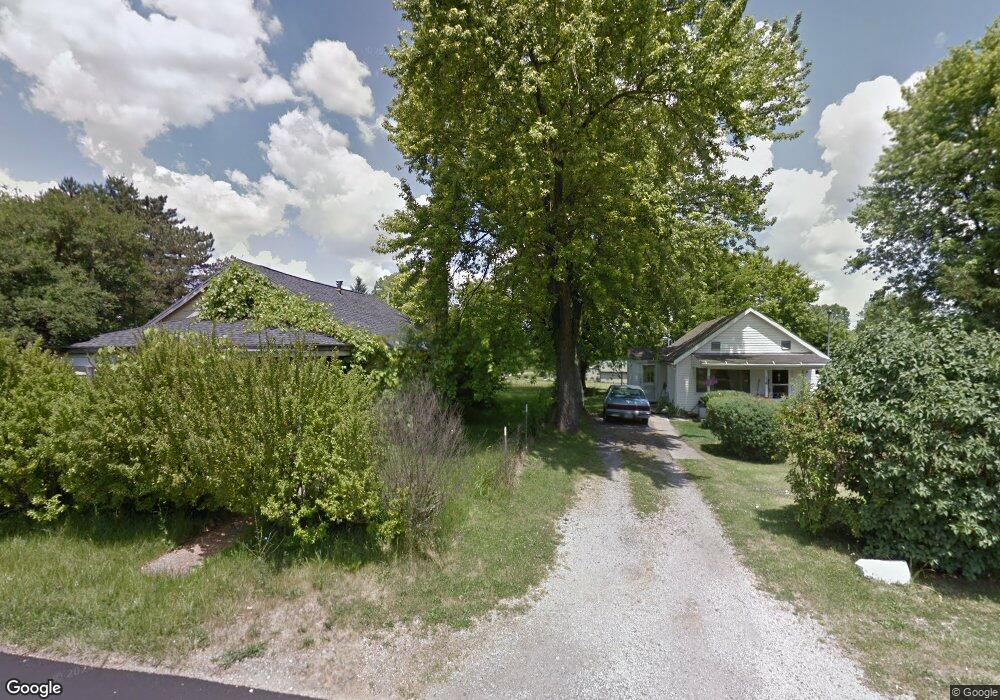
590 Dean Rd Mansfield, OH 44906
Estimated Value: $44,000
3
Beds
1
Bath
900
Sq Ft
$49/Sq Ft
Est. Value
About This Home
This home is located at 590 Dean Rd, Mansfield, OH 44906 and is currently priced at $44,000, approximately $48 per square foot. 590 Dean Rd is a home located in Richland County with nearby schools including Foundation Academy, Mansfield Elective Academy, and Goal Digital Academy.
Ownership History
Date
Name
Owned For
Owner Type
Purchase Details
Closed on
Oct 21, 2020
Sold by
Richland County Land Reutilization Corp
Bought by
Lykins John D and Lykins Vicki L
Current Estimated Value
Purchase Details
Closed on
Oct 15, 2020
Sold by
Jarrell John
Bought by
Richland County Land Reutilization Corp
Purchase Details
Closed on
Dec 31, 2009
Sold by
Wright Helen Anna Jean and Wright Charles R
Bought by
Jarrell John
Purchase Details
Closed on
Dec 28, 2009
Sold by
Adkins Rebecca Lou and Adkins Ervin P
Bought by
Jarrell John
Purchase Details
Closed on
Dec 22, 2009
Sold by
Jarrell William and Jarrell Judy
Bought by
Jarrell John
Purchase Details
Closed on
Jun 26, 2006
Sold by
Estate Of Roberta Wright
Bought by
Adkins Rebecca Lou and Jarrell John
Purchase Details
Closed on
Aug 12, 2005
Sold by
Jarrell Obbie and Jarrell Carlon
Bought by
Wright Helen Anna Jean and Adkins Rebecca Lou
Purchase Details
Closed on
Oct 1, 1985
Create a Home Valuation Report for This Property
The Home Valuation Report is an in-depth analysis detailing your home's value as well as a comparison with similar homes in the area
Home Values in the Area
Average Home Value in this Area
Purchase History
| Date | Buyer | Sale Price | Title Company |
|---|---|---|---|
| Lykins John D | -- | None Available | |
| Richland County Land Reutilization Corp | -- | None Available | |
| Jarrell John | $1,000 | Attorney | |
| Jarrell John | $1,500 | Attorney | |
| Jarrell John | -- | Attorney | |
| Adkins Rebecca Lou | -- | None Available | |
| Wright Helen Anna Jean | -- | -- | |
| -- | $12,000 | -- |
Source: Public Records
Tax History
| Year | Tax Paid | Tax Assessment Tax Assessment Total Assessment is a certain percentage of the fair market value that is determined by local assessors to be the total taxable value of land and additions on the property. | Land | Improvement |
|---|---|---|---|---|
| 2020 | $107 | $1,820 | $1,820 | $0 |
| 2019 | $217 | $3,330 | $2,280 | $1,050 |
| 2018 | $205 | $3,330 | $2,280 | $1,050 |
| 2017 | $206 | $3,330 | $2,280 | $1,050 |
| 2016 | $204 | $3,160 | $2,160 | $1,000 |
| 2015 | $204 | $3,160 | $2,160 | $1,000 |
| 2014 | $192 | $3,160 | $2,160 | $1,000 |
| 2012 | $188 | $3,330 | $2,280 | $1,050 |
Source: Public Records
Map
Nearby Homes
- 1210 Boyle Rd
- 640 Hanna Rd
- 630 Hanna Rd
- 1501 Bowman St
- 891 Springmill Rd
- 1101 Lenox Ave
- 933 Fairfax Ave
- 880 Fairfax Ave
- 1092 N Trimble Rd
- 990 N Trimble Rd
- 1074 NW Wade Dr
- 761 Fairfax Ave
- 0 Highway 30
- 641 Averill Ave
- 728 N Trimble Rd
- 572 France St
- 1113 Wyandotte Ave
- 0 Grant Rd Unit 5190994
- 701 Springmill St
- 0 State Route 314 Unit 9069650
Your Personal Tour Guide
Ask me questions while you tour the home.