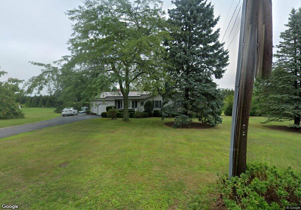
590 Elijahs Ln Mattituck, NY 11952
Estimated Value: $862,000 - $1,043,000
3
Beds
2
Baths
1,400
Sq Ft
$669/Sq Ft
Est. Value
About This Home
This home is located at 590 Elijahs Ln, Mattituck, NY 11952 and is currently estimated at $936,763, approximately $669 per square foot. 590 Elijahs Ln is a home located in Suffolk County with nearby schools including Mattituck-Cutchogue Elementary School, Mattituck Junior/Senior High School, and Peconic Community School.
Ownership History
Date
Name
Owned For
Owner Type
Purchase Details
Closed on
Sep 27, 2013
Sold by
Matthews Terrence E and Matthews Regina B
Bought by
Guvenc Berna M
Current Estimated Value
Home Financials for this Owner
Home Financials are based on the most recent Mortgage that was taken out on this home.
Original Mortgage
$210,000
Outstanding Balance
$156,937
Interest Rate
4.36%
Mortgage Type
New Conventional
Estimated Equity
$779,826
Create a Home Valuation Report for This Property
The Home Valuation Report is an in-depth analysis detailing your home's value as well as a comparison with similar homes in the area
Home Values in the Area
Average Home Value in this Area
Purchase History
| Date | Buyer | Sale Price | Title Company |
|---|---|---|---|
| Guvenc Berna M | $425,000 | Stewart Title Ins Co |
Source: Public Records
Mortgage History
| Date | Status | Borrower | Loan Amount |
|---|---|---|---|
| Open | Guvenc Berna M | $210,000 |
Source: Public Records
Tax History
| Year | Tax Paid | Tax Assessment Tax Assessment Total Assessment is a certain percentage of the fair market value that is determined by local assessors to be the total taxable value of land and additions on the property. | Land | Improvement |
|---|---|---|---|---|
| 2024 | $5,496 | $4,700 | $1,600 | $3,100 |
| 2023 | $5,496 | $4,700 | $1,600 | $3,100 |
| 2022 | $6,591 | $4,700 | $1,600 | $3,100 |
| 2021 | $6,394 | $4,700 | $1,600 | $3,100 |
| 2020 | $6,305 | $4,700 | $1,600 | $3,100 |
| 2019 | $6,305 | $0 | $0 | $0 |
| 2018 | $7,018 | $5,100 | $1,600 | $3,500 |
| 2017 | $6,626 | $5,100 | $1,600 | $3,500 |
| 2016 | $6,693 | $5,100 | $1,600 | $3,500 |
| 2015 | -- | $5,100 | $1,600 | $3,500 |
| 2014 | -- | $5,100 | $1,600 | $3,500 |
Source: Public Records
Map
Nearby Homes
- 955 Blossom Bend
- 955 Deep Hole Dr
- 23900 Main Rd
- 24635 Main Rd
- 10100 New Suffolk Ave
- 2280 Deep Hole Dr
- 15690 County Road 48
- 16400 County Road 48
- 2340 Fairway Dr
- 540 Conklin Rd
- 1450 Wickham Ave
- 17525 County Road 48
- 13100 Main Rd
- 385 New Suffolk Ave
- 18365 County Road 48
- 630 New Suffolk Rd
- 2600 Oregon Rd
- 1050 Greton Ct
- 4300 Depot Ln
- 780 Westview Dr
- 450 Elijahs Ln
- 770 Elijahs Ln
- 535 Elijahs Ln
- 645 Elijahs Ln
- 260 Elijahs Ln
- 845 Elijahs Ln
- 1070 Elijahs Ln
- 245 Rachels Rd
- 985 Elijahs Ln
- 315 Rachels Rd
- 20105 Main Rd
- 1145 Elijahs Ln
- 1250 Elijahs Ln
- 520 Gabriella Ct
- 365 Rachels Rd
- 840 Manor Hill Ln
- 1295 Elijahs Ln
- 1020 Manor Hill Ln
- 670 Gabriella Ct
- 19450 Main Rd
Your Personal Tour Guide
Ask me questions while you tour the home.