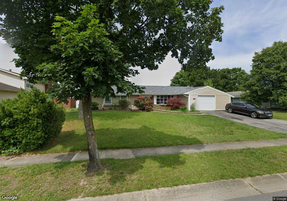
5902 Michael Rd Waldorf, MD 20601
Estimated Value: $398,567 - $430,000
3
Beds
2
Baths
1,544
Sq Ft
$270/Sq Ft
Est. Value
About This Home
This home is located at 5902 Michael Rd, Waldorf, MD 20601 and is currently estimated at $416,642, approximately $269 per square foot. 5902 Michael Rd is a home located in Charles County with nearby schools including Malcolm Elementary School, John Hanson Middle School, and Thomas Stone High School.
Ownership History
Date
Name
Owned For
Owner Type
Purchase Details
Closed on
Aug 21, 2009
Sold by
Currall Jessica M and Ullman Larry
Bought by
Coney Juvon K and Coney Michelle D
Current Estimated Value
Purchase Details
Closed on
Jul 10, 2002
Sold by
Goldbert Investments Inc
Bought by
Currall Jessica M and Currall Larry Ullman
Purchase Details
Closed on
Jul 3, 2002
Sold by
Greene Linda J
Bought by
Goldbert Investments Inc
Create a Home Valuation Report for This Property
The Home Valuation Report is an in-depth analysis detailing your home's value as well as a comparison with similar homes in the area
Home Values in the Area
Average Home Value in this Area
Purchase History
| Date | Buyer | Sale Price | Title Company |
|---|---|---|---|
| Coney Juvon K | $254,000 | -- | |
| Currall Jessica M | $145,000 | -- | |
| Goldbert Investments Inc | $112,800 | -- |
Source: Public Records
Mortgage History
| Date | Status | Borrower | Loan Amount |
|---|---|---|---|
| Closed | Currall Jessica M | -- |
Source: Public Records
Tax History
| Year | Tax Paid | Tax Assessment Tax Assessment Total Assessment is a certain percentage of the fair market value that is determined by local assessors to be the total taxable value of land and additions on the property. | Land | Improvement |
|---|---|---|---|---|
| 2025 | $9,288 | $309,733 | -- | -- |
| 2024 | $3,993 | $284,867 | $0 | $0 |
| 2023 | $3,715 | $260,000 | $83,300 | $176,700 |
| 2022 | $3,605 | $253,433 | $0 | $0 |
| 2021 | $3,388 | $246,867 | $0 | $0 |
| 2020 | $3,388 | $240,300 | $83,300 | $157,000 |
| 2019 | $3,193 | $226,767 | $0 | $0 |
| 2018 | $2,975 | $213,233 | $0 | $0 |
| 2017 | $2,789 | $199,700 | $0 | $0 |
| 2016 | -- | $199,700 | $0 | $0 |
| 2015 | $3,079 | $199,700 | $0 | $0 |
| 2014 | $3,079 | $202,200 | $0 | $0 |
Source: Public Records
Map
Nearby Homes
- 2730 Pinewood Dr
- 0 Pinewood Dr
- 2709 Pinewood Dr
- 1616 Debra Dr
- 5923 Michael Rd
- 5014 Nicholas Rd
- 1305 Harwich Dr
- 2419 Pinefield Rd
- 2300 Hawks Landing Ct
- 9018 Holly Ave
- 3109 Tudor Rd
- 8021 Holly Ave
- 3203 Pinefield Cir
- 2511 Lisa Dr
- 2217 Pinefield Way
- 2525 Green Pine Ct
- 8311 Cedarville Rd
- 2290 Mattawoman Beantown Rd
- 12613 Indian Ln
- 2450 Indian Ct
- 5904 Michael Rd
- 2724 Pinewood Dr
- 5403 Lucy Dr
- 5405 Lucy Dr
- 5401 Lucy Dr
- 6001 Suzanne Rd
- 5906 Michael Rd
- 5901 Michael Rd
- 5407 Lucy Dr
- 6003 Suzanne Rd
- 5905 Michael Rd
- 1922 Michael Rd
- 5409 Lucy Dr
- 5500 Jeffrey Cir
- 2727 Pinewood Dr
- 5400 Lucy Dr
- 1929 Michael Rd
- 2725 Pinewood Dr
- 6002 Suzanne Rd
- 6005 Suzanne Rd
Your Personal Tour Guide
Ask me questions while you tour the home.