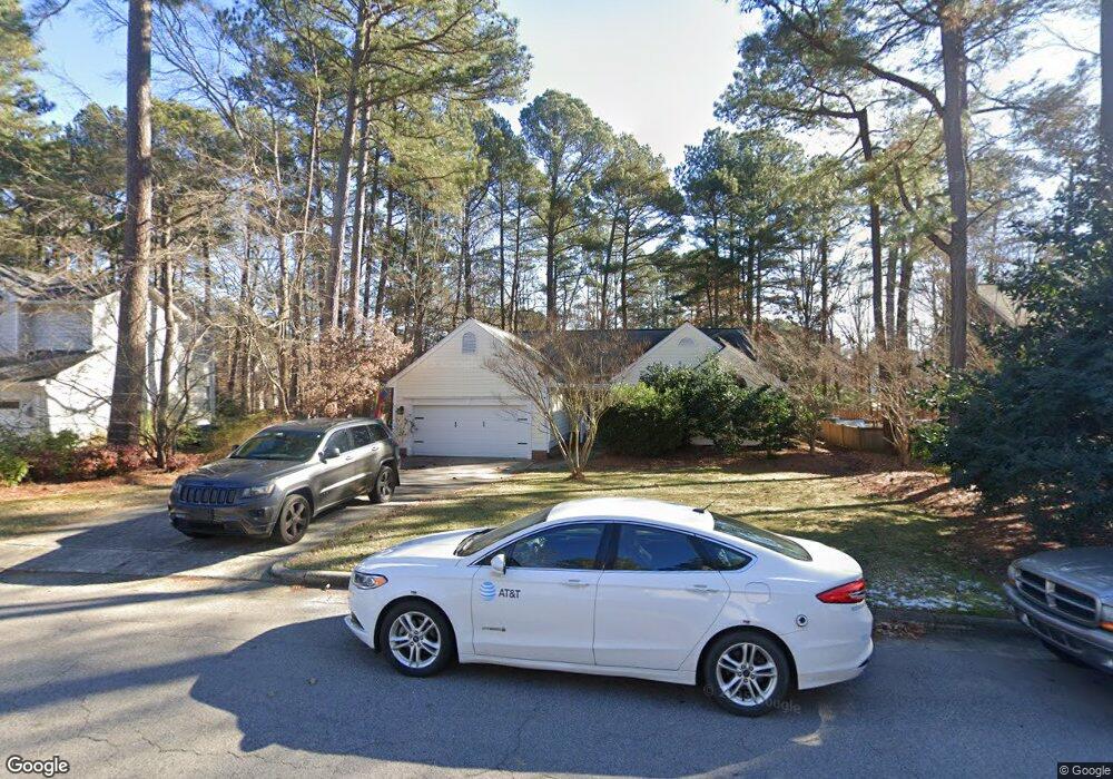
5903 Tahoe Dr Durham, NC 27713
Woodcroft NeighborhoodEstimated Value: $454,517 - $530,000
3
Beds
2
Baths
1,792
Sq Ft
$279/Sq Ft
Est. Value
About This Home
This home is located at 5903 Tahoe Dr, Durham, NC 27713 and is currently estimated at $500,379, approximately $279 per square foot. 5903 Tahoe Dr is a home located in Durham County with nearby schools including Pearsontown Elementary School, Lowe's Grove Middle, and Hillside High School.
Ownership History
Date
Name
Owned For
Owner Type
Purchase Details
Closed on
Aug 28, 2025
Sold by
Staples Benjamin C and Nevidjon Brenda M
Bought by
Staples Benjamin C and Nevidjon Brenda M
Current Estimated Value
Purchase Details
Closed on
Jan 13, 2015
Sold by
Nevidjon Brenda Marion
Bought by
Nevidjon Brenda Marion and Staples Benjamin Clyde
Create a Home Valuation Report for This Property
The Home Valuation Report is an in-depth analysis detailing your home's value as well as a comparison with similar homes in the area
Home Values in the Area
Average Home Value in this Area
Purchase History
| Date | Buyer | Sale Price | Title Company |
|---|---|---|---|
| Staples Benjamin C | -- | None Listed On Document | |
| Staples Benjamin C | -- | None Listed On Document | |
| Nevidjon Brenda Marion | -- | None Available | |
| Nevidjon Brenda Marion | -- | None Available |
Source: Public Records
Tax History
| Year | Tax Paid | Tax Assessment Tax Assessment Total Assessment is a certain percentage of the fair market value that is determined by local assessors to be the total taxable value of land and additions on the property. | Land | Improvement |
|---|---|---|---|---|
| 2025 | $4,841 | $488,387 | $170,300 | $318,087 |
| 2024 | $3,863 | $276,967 | $49,012 | $227,955 |
| 2023 | $3,628 | $276,967 | $49,012 | $227,955 |
| 2022 | $3,545 | $276,967 | $49,012 | $227,955 |
| 2021 | $3,528 | $276,967 | $49,012 | $227,955 |
| 2020 | $3,445 | $276,967 | $49,012 | $227,955 |
| 2019 | $3,445 | $276,967 | $49,012 | $227,955 |
| 2018 | $3,355 | $247,336 | $49,012 | $198,324 |
| 2017 | $3,330 | $247,336 | $49,012 | $198,324 |
| 2016 | $3,204 | $246,229 | $49,012 | $197,217 |
| 2015 | $3,166 | $228,742 | $52,605 | $176,137 |
| 2014 | $3,166 | $228,742 | $52,605 | $176,137 |
Source: Public Records
Map
Nearby Homes
- 10 Bridgeport Dr
- 2 Red Bluff Ct
- 5511 Tahoe Dr
- 7 Chelan Ct
- 12 Byerly Ct
- 6502 Barbee Rd
- 5708 Catskill Ct
- 6214 Coronado Ln
- 18 Lake Village Dr
- 914 Cinnamon Dr
- 2 Lake Village Dr
- 1001 Pebble Creek Crossing Unit 11
- 32 Brafferton Ct
- 63 Lake Village Dr
- 1 Chownings St
- 909 Windcrest Rd
- 311 Ebon Rd
- 1129 Pebble Creek Crossing
- 1303 Crimson Creek Dr
- 1414 Copper Creek Dr
- 5901 Tahoe Dr
- 5905 Tahoe Dr
- 5811 Tahoe Dr
- 1 Drysdale Ct
- 5 Bridgeport Dr
- 5809 Forest Ridge Dr
- 7 Bridgeport Dr
- 3 Bridgeport Dr
- 9 Bridgeport Dr
- 2 Drysdale Ct
- 5907 Tahoe Dr
- 5906 Tahoe Dr
- 3 Drysdale Ct
- 5809 Tahoe Dr
- 1 Bridgeport Dr
- 5806 Forest Ridge Dr
- 4 Drysdale Ct
- 5808 Forest Ridge Dr
- 2 Flagstaff Ct
- 5900 Wateree Dr
Your Personal Tour Guide
Ask me questions while you tour the home.