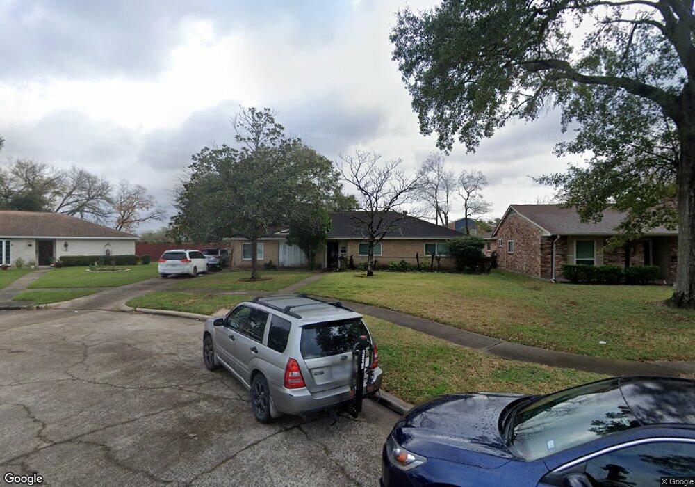
5907 Burning Tree Dr Houston, TX 77036
Sharpstown NeighborhoodEstimated Value: $300,000 - $319,000
About This Home
This home is located at 5907 Burning Tree Dr, Houston, TX 77036 and is currently estimated at $306,008, approximately $150 per square foot. 5907 Burning Tree Dr is a home located in Harris County with nearby schools including Emerson Elementary School, Paul Revere Middle School, and Wisdom High School.
Ownership History
We collect this data history from publicly available records. To have your information removed, we recommend requesting removal directly through your county’s website.
Purchase Details
Purchase Details
Purchase Details
Home Financials for this Owner
Home Financials are based on the most recent Mortgage that was taken out on this home.Purchase Details
Purchase Details
Home Financials for this Owner
Home Financials are based on the most recent Mortgage that was taken out on this home.Home Values in the Area
Average Home Value in this Area
Purchase History
We collect this data history from publicly available records. To have your information removed, we recommend requesting removal directly through your county’s website.
| Date | Buyer | Sale Price | Title Company |
|---|---|---|---|
| -- | Texas American Title Co | ||
| $93,404 | None Available | ||
| -- | Startex Title Company | ||
| -- | -- | ||
| -- | First American Title |
Mortgage History
We collect this data history from publicly available records. To have your information removed, we recommend requesting removal directly through your county’s website.
| Date | Status | Borrower | Loan Amount |
|---|---|---|---|
| Previous Owner | $102,400 | ||
| Previous Owner | $64,000 | ||
| Closed | $19,200 |
Tax History
We collect this data history from publicly available records. To have your information removed, we recommend requesting removal directly through your county’s website.
| Year | Tax Paid | Tax Assessment Tax Assessment Total Assessment is a certain percentage of the fair market value that is determined by local assessors to be the total taxable value of land and additions on the property. | Land | Improvement |
|---|---|---|---|---|
| 2025 | $5,922 | $278,676 | $74,297 | $204,379 |
| 2024 | $5,370 | $256,651 | $74,297 | $182,354 |
| 2023 | $5,370 | $281,598 | $74,297 | $207,301 |
| 2022 | $5,990 | $262,505 | $74,297 | $188,208 |
| 2021 | $5,421 | $232,615 | $66,337 | $166,278 |
| 2020 | $5,596 | $223,702 | $55,723 | $167,979 |
| 2019 | $5,840 | $223,702 | $55,723 | $167,979 |
| 2018 | $5,374 | $212,382 | $55,723 | $156,659 |
| 2017 | $5,452 | $208,994 | $55,723 | $153,271 |
| 2016 | $4,888 | $187,367 | $55,723 | $131,644 |
| 2015 | $4,388 | $187,367 | $55,723 | $131,644 |
| 2014 | $4,388 | $170,677 | $55,723 | $114,954 |
Map
- 8499 Sands Point Dr
- 8435 Sands Point Dr
- 8389 Sands Point Dr
- 6407 Burning Tree Dr
- 8365 Sands Point Dr Unit 221
- 8359 Sands Point Dr Unit 218
- 8275 Sands Point Dr Unit 176
- 8253 Sands Point Dr Unit 165
- 4001 Tanglewilde St Unit 605
- 4001 Tanglewilde St Unit 811
- 4001 Tanglewilde St Unit 1203
- 4001 Tanglewilde St Unit 1204
- 4001 Tanglewilde St Unit 404
- 8511 De Moss Dr
- 3800 Tanglewilde St Unit 504
- 3800 Tanglewilde St Unit 108
- 3800 Tanglewilde St Unit 106
- 3800 Tanglewilde St Unit 109
- 3800 Tanglewilde St Unit 503
- 3800 Tanglewilde St Unit 301
- 5911 Burning Tree Dr
- 5903 Burning Tree Dr
- 5902 Burning Tree Dr
- 5910 Burning Tree Dr
- 5904 Burning Tree Dr
- 6002 Burning Tree Dr
- 8591 Sands Point Dr Unit 108
- 6005 Burning Tree Dr
- 8589 Sands Point Dr Unit 107
- 8575 Sands Point Dr Unit 100
- 8599 Sands Point Dr Unit 112
- 8587 Sands Point Dr Unit 106
- 8597 Sands Point Dr Unit 111
- 8583 Sands Point Dr Unit 104
- 8573 Sands Point Dr
- 5907 Redding Rd
- 8585 Sands Point Dr Unit 105
- 8595 Sands Point Dr Unit 110
- 8581 Sands Point Dr Unit 103
- 6006 Burning Tree Dr
Ask me questions while you tour the home.