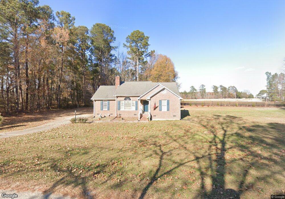
5909 Phillips Landing Dr Wake Forest, NC 27587
Estimated Value: $319,813 - $413,000
Studio
2
Baths
1,510
Sq Ft
$234/Sq Ft
Est. Value
About This Home
This home is located at 5909 Phillips Landing Dr, Wake Forest, NC 27587 and is currently estimated at $352,953, approximately $233 per square foot. 5909 Phillips Landing Dr is a home located in Wake County with nearby schools including Rolesville Elementary School, Rolesville Middle School, and Rolesville High School.
Ownership History
Date
Name
Owned For
Owner Type
Purchase Details
Closed on
Nov 7, 2000
Sold by
Bullock Brian Chester
Bought by
Bullock Brian C and Bullock Tammy W
Current Estimated Value
Home Financials for this Owner
Home Financials are based on the most recent Mortgage that was taken out on this home.
Original Mortgage
$115,700
Interest Rate
6.74%
Purchase Details
Closed on
Oct 24, 2000
Sold by
Bullock Brian C and Bullock Tammy W
Bought by
Conner Herman Jack and Conner Marie B
Home Financials for this Owner
Home Financials are based on the most recent Mortgage that was taken out on this home.
Original Mortgage
$115,700
Interest Rate
6.74%
Create a Home Valuation Report for This Property
The Home Valuation Report is an in-depth analysis detailing your home's value as well as a comparison with similar homes in the area
Home Values in the Area
Average Home Value in this Area
Purchase History
| Date | Buyer | Sale Price | Title Company |
|---|---|---|---|
| Bullock Brian C | -- | -- | |
| Conner Herman Jack | $130,000 | -- |
Source: Public Records
Mortgage History
| Date | Status | Borrower | Loan Amount |
|---|---|---|---|
| Previous Owner | Conner Herman Jack | $115,700 |
Source: Public Records
Tax History
| Year | Tax Paid | Tax Assessment Tax Assessment Total Assessment is a certain percentage of the fair market value that is determined by local assessors to be the total taxable value of land and additions on the property. | Land | Improvement |
|---|---|---|---|---|
| 2025 | $2,215 | $343,197 | $80,000 | $263,197 |
| 2024 | $2,151 | $343,197 | $80,000 | $263,197 |
Source: Public Records
Map
Nearby Homes
- 5820 Phillips Landing Dr
- 3604 Bailey Meadows Dr
- 3612 Bailey Meadows Dr
- 4315 Mitchell Mill Rd
- 2101 Stoneridge Barn Way
- 2108 Stoneridge Barn Way
- 2105 Stoneridge Barn Way
- 2112 Stoneridge Barn Way
- 2100 Stoneridge Barn Way
- 3741 Jonesville Rd
- 2245 Seraphic Way Unit 394
- 305 Cherubic Way
- 2541 Quarry Rd
- 2241 Seraphic Way Unit 395
- 2553 Quarry Rd
- 937 Fetching Place
- 937 Fetching Place Unit 371
- 2557 Quarry Rd
- 4704 Upchurch Ln
- 941 Fetching Place
- 3400 Buccaneer Ct
- 5904 Phillips Landing Dr
- 5913 Phillips Landing Dr
- 3308 Starboard Ct
- 5920 Phillips Landing Dr
- 3404 Buccaneer Ct
- 5921 Phillips Landing Dr
- 5841 Phillips Landing Dr
- 3304 Starboard Ct
- 5925 Phillips Landing Dr
- 2136 Rolesville Rd
- 2101 Rolesville Rd
- 3412 Buccaneer Ct
- 3409 Buccaneer Ct
- 3309 Starboard Ct
- 3300 Starboard Ct
- 5829 Phillips Landing Dr
- 3305 Starboard Ct
- 3301 Starboard Ct
- 3417 Buccaneer Ct
Your Personal Tour Guide
Ask me questions while you tour the home.