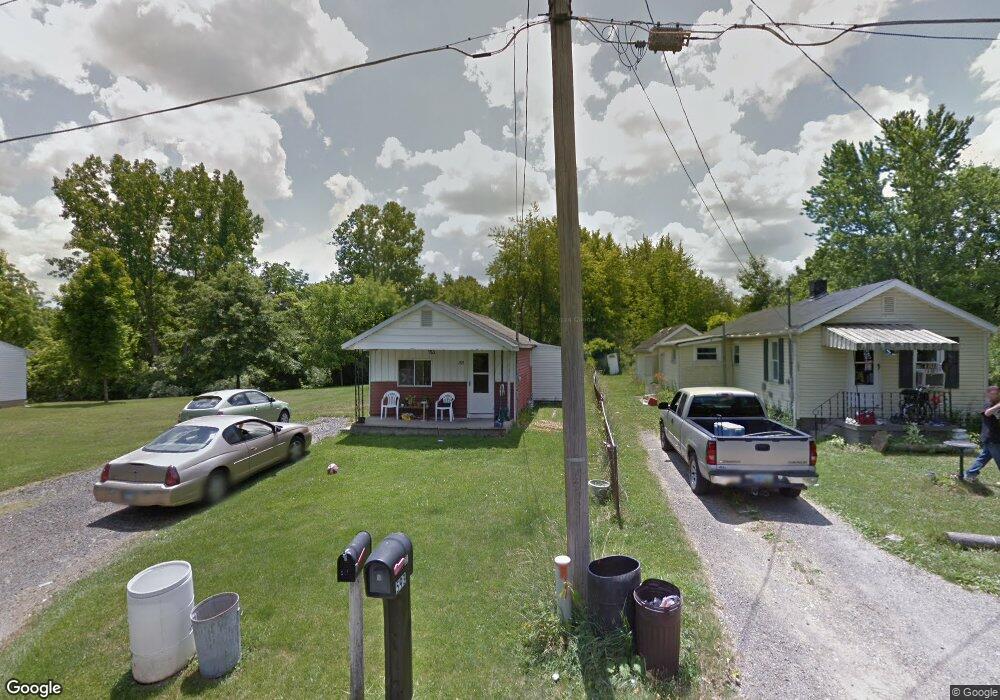
591 Dean Rd Mansfield, OH 44906
Estimated Value: $61,000 - $90,000
1
Bed
1
Bath
662
Sq Ft
$113/Sq Ft
Est. Value
About This Home
This home is located at 591 Dean Rd, Mansfield, OH 44906 and is currently estimated at $74,480, approximately $112 per square foot. 591 Dean Rd is a home located in Richland County with nearby schools including Foundation Academy, Mansfield Elective Academy, and Goal Digital Academy.
Ownership History
Date
Name
Owned For
Owner Type
Purchase Details
Closed on
Jan 9, 2025
Sold by
Fultz Steven C and Fultz Tabatha
Bought by
Zickefoose Kathy R
Current Estimated Value
Purchase Details
Closed on
Aug 28, 1998
Sold by
Adkins Kimmy L
Bought by
Adkins Kimmy L
Home Financials for this Owner
Home Financials are based on the most recent Mortgage that was taken out on this home.
Original Mortgage
$10,500
Interest Rate
7.03%
Mortgage Type
New Conventional
Purchase Details
Closed on
Mar 1, 1986
Create a Home Valuation Report for This Property
The Home Valuation Report is an in-depth analysis detailing your home's value as well as a comparison with similar homes in the area
Home Values in the Area
Average Home Value in this Area
Purchase History
We collect this data history from publicly available records. To have your information removed, we recommend requesting removal directly through your county’s website.
| Date | Buyer | Sale Price | Title Company |
|---|---|---|---|
| Zickefoose Kathy R | -- | None Listed On Document | |
| Zickefoose Kathy R | -- | None Listed On Document | |
| Adkins Kimmy L | $10,500 | -- | |
| -- | $9,000 | -- |
Source: Public Records
Mortgage History
We collect this data history from publicly available records. To have your information removed, we recommend requesting removal directly through your county’s website.
| Date | Status | Borrower | Loan Amount |
|---|---|---|---|
| Previous Owner | Adkins Kimmy L | $10,500 |
Source: Public Records
Tax History
| Year | Tax Paid | Tax Assessment Tax Assessment Total Assessment is a certain percentage of the fair market value that is determined by local assessors to be the total taxable value of land and additions on the property. | Land | Improvement |
|---|---|---|---|---|
| 2025 | $564 | $11,780 | $2,400 | $9,380 |
| 2024 | $564 | $11,780 | $2,400 | $9,380 |
| 2023 | $564 | $11,780 | $2,400 | $9,380 |
| 2022 | $471 | $8,250 | $2,140 | $6,110 |
| 2021 | $0 | $8,250 | $2,140 | $6,110 |
| 2020 | $0 | $8,250 | $2,140 | $6,110 |
| 2019 | $0 | $8,250 | $2,140 | $6,110 |
| 2018 | $0 | $8,250 | $2,140 | $6,110 |
| 2017 | $473 | $8,250 | $2,140 | $6,110 |
| 2016 | $473 | $7,850 | $2,030 | $5,820 |
| 2015 | $473 | $7,850 | $2,030 | $5,820 |
| 2014 | $467 | $7,850 | $2,030 | $5,820 |
| 2012 | $453 | $8,270 | $2,140 | $6,130 |
Source: Public Records
Map
Nearby Homes
- 1184 Dillon Rd
- 1176 Dillon Rd
- 1254 Crandal Rd
- 630 Hanna Rd
- 1082 Country Club Dr
- 981 Benedict Ave
- 891 Springmill Rd
- 1501 Bowman St
- 964 Fairfax Ave
- 939 Fairfax Ave
- 990 N Trimble Rd
- 0 Highway 30
- 516 Burns St
- 512 Burns St
- 655 Bowman St
- 0 Grant Rd Unit 5190994
- 0 State Route 314 Unit 9069650
- 688 Mcpherson St
- 395 Cairns Rd
- 495 Johns Ave
Your Personal Tour Guide
Ask me questions while you tour the home.