591 Ringer Rd Carrollton, GA 30116
Estimated Value: $219,000 - $294,000
About This Home
This home is located at 591 Ringer Rd, Carrollton, GA 30116 and is currently estimated at $242,251, approximately $201 per square foot. 591 Ringer Rd is a home located in Carroll County with nearby schools including Roopville Elementary School, Central Middle School, and Central High School.
Ownership History
We collect this data history from publicly available records. To have your information removed, we recommend requesting removal directly through your county’s website.
Purchase Details
Home Financials for this Owner
Home Financials are based on the most recent Mortgage that was taken out on this home.Purchase Details
Home Financials for this Owner
Home Financials are based on the most recent Mortgage that was taken out on this home.Purchase Details
Purchase Details
Purchase Details
Home Values in the Area
Average Home Value in this Area
Purchase History
We collect this data history from publicly available records. To have your information removed, we recommend requesting removal directly through your county’s website.
| Date | Buyer | Sale Price | Title Company |
|---|---|---|---|
| -- | -- | ||
| $73,000 | -- | ||
| -- | -- | ||
| -- | -- | ||
| -- | -- |
Mortgage History
We collect this data history from publicly available records. To have your information removed, we recommend requesting removal directly through your county’s website.
| Date | Status | Borrower | Loan Amount |
|---|---|---|---|
| Open | $89,827 | ||
| Previous Owner | $58,400 | ||
| Previous Owner | $14,600 |
Tax History
We collect this data history from publicly available records. To have your information removed, we recommend requesting removal directly through your county’s website.
| Year | Tax Paid | Tax Assessment Tax Assessment Total Assessment is a certain percentage of the fair market value that is determined by local assessors to be the total taxable value of land and additions on the property. | Land | Improvement |
|---|---|---|---|---|
| 2025 | $1,416 | $77,887 | $4,411 | $73,476 |
| 2024 | $1,432 | $77,887 | $4,411 | $73,476 |
| 2023 | $1,432 | $72,121 | $3,529 | $68,592 |
| 2022 | $1,210 | $57,481 | $2,353 | $55,128 |
| 2021 | $856 | $40,536 | $1,882 | $38,654 |
| 2020 | $781 | $36,368 | $1,711 | $34,657 |
| 2019 | $735 | $33,468 | $1,711 | $31,757 |
| 2018 | $665 | $29,343 | $1,599 | $27,744 |
| 2017 | $668 | $29,343 | $1,599 | $27,744 |
| 2016 | $668 | $29,343 | $1,599 | $27,744 |
| 2015 | $718 | $29,684 | $4,000 | $25,684 |
| 2014 | $721 | $29,684 | $4,000 | $25,684 |
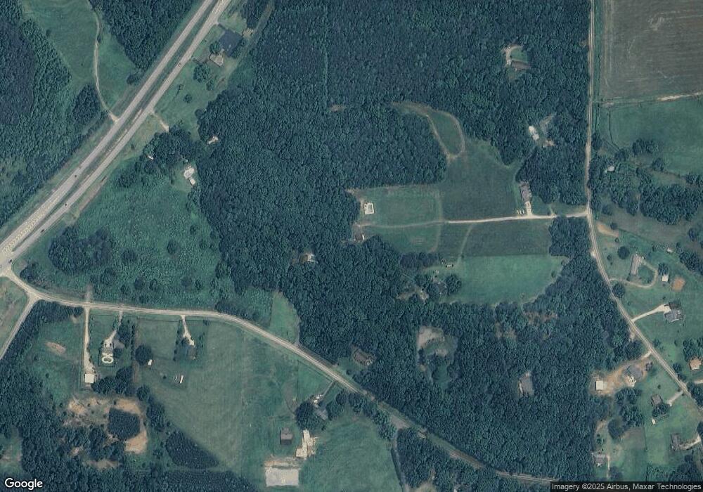
Map
- 3985 S Highway 27
- 0 Bonner Goldmine Rd Unit 36
- 0 Ringer Rd Unit 10753278
- 00 Ringer Rd
- 265 Mashburn Rd
- 0 Lowell Rd Unit 10706930
- 1381 Star Point Rd
- 195 Gold Dust Trail
- 2219 Oak Grove Church Rd
- 191 Tumlin Creek Rd
- 180 Gold Dust Trail
- 221 Valley Ridge Dr
- 484 Carrie Kathleen Terrace Unit 1
- 484 Carrie Kathleen Terrace
- 1170 Lowell Rd
- 0 Star Point Rd Unit 151973
- 0 Star Point Rd Unit 10728819
- 238 Old Lowell Mill Rd
- 500 Coleman Mill Rd
- 836 Oak Grove Rd
- 198 Hester Rd
- 210 Hester Rd
- 3822 S Highway 27
- 565 Ringer Rd
- 205 Hester Rd
- 0 Little Rd
- 0 Little Rd Unit 7373994
- 155 Hester Rd
- 555 Ringer Rd
- 3786 S Highway 27
- 511 Ringer Rd
- 611 Ringer Rd
- 3554 N Highway 27
- 3554 N Highway 27
- 85 Hester Rd
- 641 Ringer Rd
- 606 Ringer Rd
- 289 Hester Rd
- 0 Shirey Dairy Tract 7 (10 Acres) Unit 7117153
- 0 Shirey Dairy Tract 7 (10 Acres) Unit 10061704
Ask me questions while you tour the home.