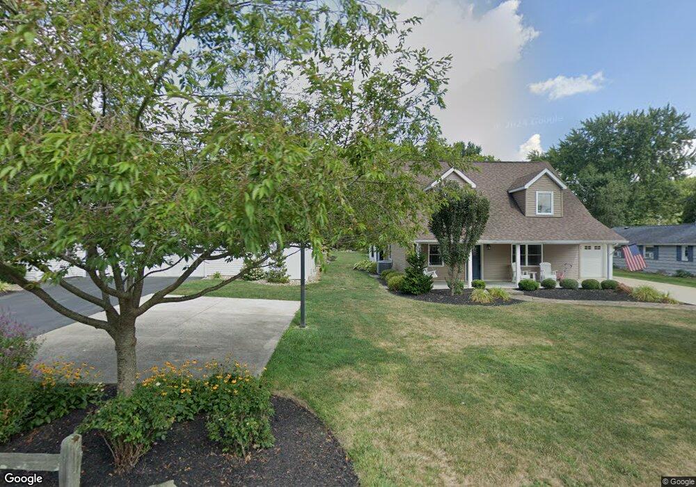
5916 Maple Way Jamestown, PA 16134
Estimated Value: $407,000 - $590,000
Studio
--
Bath
--
Sq Ft
13,242
Sq Ft Lot
About This Home
This home is located at 5916 Maple Way, Jamestown, PA 16134 and is currently estimated at $489,333. 5916 Maple Way is a home located in Crawford County with nearby schools including Jamestown Area Elementary School and Jamestown Area Junior/Senior High School.
Ownership History
Date
Name
Owned For
Owner Type
Purchase Details
Closed on
Nov 30, 2021
Sold by
Foltz Deborah and Foltz Deborah A
Bought by
Foltz James and Foltz Deborah A
Current Estimated Value
Purchase Details
Closed on
Jul 30, 2012
Sold by
Foltz James K and Foltz Deborah A
Bought by
Foltz James K and Foltz Deborah A
Create a Home Valuation Report for This Property
The Home Valuation Report is an in-depth analysis detailing your home's value as well as a comparison with similar homes in the area
Home Values in the Area
Average Home Value in this Area
Purchase History
| Date | Buyer | Sale Price | Title Company |
|---|---|---|---|
| Foltz James | -- | None Listed On Document | |
| Foltz James K | -- | None Available |
Source: Public Records
Tax History
| Year | Tax Paid | Tax Assessment Tax Assessment Total Assessment is a certain percentage of the fair market value that is determined by local assessors to be the total taxable value of land and additions on the property. | Land | Improvement |
|---|---|---|---|---|
| 2025 | $2,002 | $75,989 | $5,730 | $70,259 |
| 2024 | $5,443 | $75,989 | $5,730 | $70,259 |
| 2023 | $5,443 | $75,989 | $5,730 | $70,259 |
| 2022 | $5,408 | $74,639 | $4,380 | $70,259 |
| 2021 | $5,350 | $74,696 | $4,437 | $70,259 |
| 2020 | $5,409 | $74,696 | $4,437 | $70,259 |
| 2019 | $5,296 | $74,696 | $4,437 | $70,259 |
| 2018 | $4,223 | $61,101 | $3,400 | $57,701 |
| 2017 | $4,121 | $60,157 | $3,400 | $56,757 |
| 2016 | -- | $60,157 | $3,400 | $56,757 |
| 2015 | -- | $60,157 | $3,400 | $56,757 |
| 2014 | -- | $60,157 | $3,400 | $56,757 |
Source: Public Records
Map
Nearby Homes
- 2092 Mcarthur Rd
- 1994 Emerson Ave
- 6087 Belle St
- 2740 Maple Ln
- - Maple Ln
- 3244 Maple Ln
- 00 Muriel Ln
- 1900 Navaho Rd
- 2133 Marblehead Dr
- 3451 E State Rd
- 7832 Chase Dr
- VL Martin Dr
- 7899 Lakewood Dr
- 4007 Westford Rd
- VL Martin Dr
- 2567 W Lake Rd
- 7014 Pymatuning Lake Rd
- 6994 Pymatuning Lake Rd
- 1754 Fry Rd
- 6986 Pymatuning Lake Rd
- 5896 Maple Way
- 5886 Maple Way
- 5923 Maple Way
- 2042 Cove Creek Dr
- 5889 Black Dr
- 5907 Maple Way
- 2013 Cove Dr
- 1992 Mcarthur Rd
- 5913 Maple Way
- 5854 Maple Way
- 5881 Maple Way
- 2062 Cove Creek Dr
- 2066 Mcarthur Rd
- 5851 Maple Way
- 5836 Maple Way
- 2064 Cove Creek Dr
- 5847 Maple Way
- 2039 Cove Creek Dr
- 1993 Keeth Ave
- 5962 Thompson Dr
Your Personal Tour Guide
Ask me questions while you tour the home.