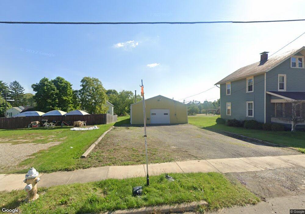
592 Bowman St Mansfield, OH 44903
Estimated Value: $44,000 - $132,000
Studio
--
Bath
--
Sq Ft
6,795
Sq Ft Lot
About This Home
This home is located at 592 Bowman St, Mansfield, OH 44903 and is currently estimated at $82,578. 592 Bowman St is a home located in Richland County with nearby schools including Goal Digital Academy, St. Peter's Elementary/Montessori School, and St. Peter's Junior High / High School.
Ownership History
Date
Name
Owned For
Owner Type
Purchase Details
Closed on
Sep 24, 2019
Sold by
Belcher Neil and Belcher Glenda
Bought by
Belcher Neil and Belcher Glenda
Current Estimated Value
Purchase Details
Closed on
Dec 14, 2004
Sold by
Lawrence Rv
Bought by
Lawrence Rv and Lawrence Brenda Kay
Purchase Details
Closed on
Aug 15, 2003
Sold by
Lawrence R V and Lawrence Brenda L
Bought by
Snyder Glenda R
Purchase Details
Closed on
Jan 26, 1994
Sold by
Lindsay Chester and Lindsay Inell
Bought by
Lawrence R
Purchase Details
Closed on
Dec 1, 1985
Create a Home Valuation Report for This Property
The Home Valuation Report is an in-depth analysis detailing your home's value as well as a comparison with similar homes in the area
Home Values in the Area
Average Home Value in this Area
Purchase History
| Date | Buyer | Sale Price | Title Company |
|---|---|---|---|
| Belcher Neil | -- | None Available | |
| Lawrence Rv | -- | -- | |
| Snyder Glenda R | $12,000 | Southern Title | |
| Lawrence R | $4,300 | -- | |
| -- | $600 | -- |
Source: Public Records
Tax History
| Year | Tax Paid | Tax Assessment Tax Assessment Total Assessment is a certain percentage of the fair market value that is determined by local assessors to be the total taxable value of land and additions on the property. | Land | Improvement |
|---|---|---|---|---|
| 2025 | $318 | $6,630 | $5,510 | $1,120 |
| 2024 | $318 | $6,630 | $5,510 | $1,120 |
| 2023 | $317 | $6,630 | $5,510 | $1,120 |
| 2022 | $350 | $6,130 | $5,010 | $1,120 |
| 2021 | $353 | $6,130 | $5,010 | $1,120 |
| 2020 | $361 | $6,130 | $5,010 | $1,120 |
| 2019 | $172 | $2,630 | $1,510 | $1,120 |
| 2018 | $169 | $2,630 | $1,510 | $1,120 |
| 2017 | $165 | $2,630 | $1,510 | $1,120 |
| 2016 | $246 | $3,810 | $2,390 | $1,420 |
| 2015 | $246 | $3,810 | $2,390 | $1,420 |
| 2014 | $232 | $3,810 | $2,390 | $1,420 |
| 2012 | $187 | $4,020 | $2,520 | $1,500 |
Source: Public Records
Map
Nearby Homes
- 0 Grant Rd Unit 5190994
- 524 Lida St
- 118 Raymond Ave
- 580 N Mulberry St
- 701 Springmill St
- 0 Voegele Ave Unit Lot 6048, 6049, 6
- 0 Highway 30
- 516 Burns St
- 572 France St
- 368 W 6th St
- 447 Spayer Ln
- 219 W 5th St
- 344 W 5th St
- 0 State Route 314 Unit 9069650
- 224 Atcheson Ave
- 688 Mcpherson St
- 346 Newman St
- 245 W 4th St
- 0 Lemley Ave Unit 9070540
- 10 Gray Ct
Your Personal Tour Guide
Ask me questions while you tour the home.