592 E Andover Rd Andover, ME 04216
Estimated Value: $211,000
4
Beds
2
Baths
2,050
Sq Ft
$103/Sq Ft
Est. Value
About This Home
This home is located at 592 E Andover Rd, Andover, ME 04216 and is currently estimated at $211,000, approximately $102 per square foot. 592 E Andover Rd is a home located in Oxford County with nearby schools including Telstar Middle School and Telstar High School.
Ownership History
Date
Name
Owned For
Owner Type
Purchase Details
Closed on
Oct 26, 2022
Sold by
Jones Sidney J 3Rd Est and Tibbetts
Bought by
Davis Adam K
Current Estimated Value
Home Financials for this Owner
Home Financials are based on the most recent Mortgage that was taken out on this home.
Original Mortgage
$130,500
Outstanding Balance
$125,851
Interest Rate
6.7%
Mortgage Type
Stand Alone Refi Refinance Of Original Loan
Estimated Equity
$85,149
Create a Home Valuation Report for This Property
The Home Valuation Report is an in-depth analysis detailing your home's value as well as a comparison with similar homes in the area
Purchase History
| Date | Buyer | Sale Price | Title Company |
|---|---|---|---|
| Davis Adam K | -- | None Available | |
| Davis Adam K | -- | None Available |
Source: Public Records
Mortgage History
| Date | Status | Borrower | Loan Amount |
|---|---|---|---|
| Open | Davis Adam K | $130,500 | |
| Closed | Davis Adam K | $130,500 |
Source: Public Records
Tax History
| Year | Tax Paid | Tax Assessment Tax Assessment Total Assessment is a certain percentage of the fair market value that is determined by local assessors to be the total taxable value of land and additions on the property. | Land | Improvement |
|---|---|---|---|---|
| 2025 | $907 | $41,810 | $38,650 | $3,160 |
| 2024 | $705 | $38,650 | $38,650 | $0 |
| 2023 | $599 | $38,650 | $38,650 | $0 |
| 2022 | $1,771 | $118,865 | $51,600 | $67,265 |
| 2021 | $1,664 | $118,865 | $51,600 | $67,265 |
| 2020 | $1,605 | $118,864 | $51,600 | $67,264 |
| 2019 | $1,783 | $118,864 | $51,600 | $67,264 |
| 2018 | $1,866 | $118,864 | $51,600 | $67,264 |
| 2017 | $2,004 | $87,890 | $22,500 | $65,390 |
| 2016 | $2,166 | $87,890 | $22,500 | $65,390 |
| 2015 | $1,723 | $87,890 | $22,500 | $65,390 |
| 2014 | $1,371 | $87,890 | $22,500 | $65,390 |
| 2013 | $1,274 | $87,890 | $22,500 | $65,390 |
Source: Public Records
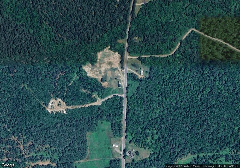
Map
Nearby Homes
- 130 Farmers Hill Rd
- 341 E Andover Rd
- 91 Airport Rd
- 289 S Main St
- 10 S Arm Rd
- Lot 27-001 Coburn Brook Rd
- 79 N Main St
- Map 402 Lot 7 Rd
- 1255 Roxbury Notch Rd
- Map 404 Lot 13
- Map 402 Lot 9
- 43 Main St
- Lot 22 Roxbury Notch Rd
- 24 Dual Cove Point Rd
- Map 402 Lot 3
- Map 402 Lot 10
- Map 401 Lot 8 Rd
- Lot 39 Sawyer Notch Rd
- 14 Puzzle Mountain Rd
- 419 Roxbury Notch Rd
- 623 E Andover Rd
- 623 E East Andover Rd
- 553 E Andover Rd
- East B Hill
- 000 E Andover Rd
- 649 E Andover Rd
- 167 Poland Dr
- 515 E Andover Rd
- 665 E Andover Rd
- 519 E Andover Rd
- 514 E Andover Rd
- 577 E Andover Rd
- 668 E Andover Rd
- 157 E Andover Rd
- TBD Farmers Hill Lots #4
- 680 E Andover Rd
- 679 E Andover Rd
- 497 E Andover Rd
- 493 E Andover Rd
- 486 E Andover Rd
Your Personal Tour Guide
Ask me questions while you tour the home.