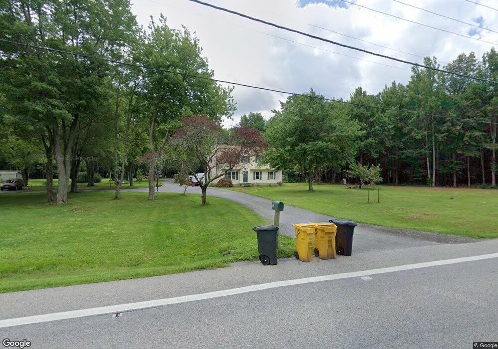
5921 Shady Side Rd Shady Side, MD 20764
Estimated Value: $454,073 - $539,000
About This Home
This home is located at 5921 Shady Side Rd, Shady Side, MD 20764 and is currently estimated at $493,268, approximately $245 per square foot. 5921 Shady Side Rd is a home located in Anne Arundel County with nearby schools including Shady Side Elementary School, Southern Middle School, and Southern High School.
Ownership History
We collect this data history from publicly available records. To have your information removed, we recommend requesting removal directly through your county’s website.
Purchase Details
Home Financials for this Owner
Home Financials are based on the most recent Mortgage that was taken out on this home.Home Values in the Area
Average Home Value in this Area
Purchase History
We collect this data history from publicly available records. To have your information removed, we recommend requesting removal directly through your county’s website.
| Date | Buyer | Sale Price | Title Company |
|---|---|---|---|
| -- | First American Title Ins Co |
Mortgage History
We collect this data history from publicly available records. To have your information removed, we recommend requesting removal directly through your county’s website.
| Date | Status | Borrower | Loan Amount |
|---|---|---|---|
| Closed | $152,000 |
Tax History
We collect this data history from publicly available records. To have your information removed, we recommend requesting removal directly through your county’s website.
| Year | Tax Paid | Tax Assessment Tax Assessment Total Assessment is a certain percentage of the fair market value that is determined by local assessors to be the total taxable value of land and additions on the property. | Land | Improvement |
|---|---|---|---|---|
| 2025 | $3,370 | $406,433 | -- | -- |
| 2024 | $3,370 | $380,667 | $0 | $0 |
| 2023 | $3,257 | $354,900 | $179,900 | $175,000 |
| 2022 | $3,048 | $349,000 | $0 | $0 |
| 2020 | $2,908 | $337,200 | $179,900 | $157,300 |
| 2019 | $2,850 | $321,367 | $0 | $0 |
| 2018 | $3,098 | $305,533 | $0 | $0 |
| 2017 | $2,668 | $289,700 | $0 | $0 |
| 2016 | -- | $289,700 | $0 | $0 |
| 2015 | -- | $289,700 | $0 | $0 |
| 2014 | -- | $289,900 | $0 | $0 |
Map
- 5771 Shady Side Rd
- 1411 Haile Pkwy
- 1428 Haile Pkwy
- 1430 Haile Pkwy
- 1436 Haile Pkwy
- 1445 & 1447 Haile Pkwy
- 0 Haile Pkwy Unit MDAA2141624
- 1500 Garst Rd
- 5250 Al Jones Dr
- 1502 Garst Rd
- 1125 Cherry Point Rd
- 4951 Bonniewood Dr
- 6213 Shady Side Rd
- 1527 Lincoln Rd
- 1005 Hawk Channel Ct
- 4950 Bonniewood Dr
- 5235 Al Jones Dr
- 5314 Al Jones Dr
- 1221 Cove Dr
- 1261 Cove Dr
- 5904 Shady Side Rd
- 5966 Shady Side Rd
- 5968 Shady Side Rd
- 5908 Shady Side Rd
- 5927 Shady Side Rd
- 5900 Shady Side Rd
- 5937 Shady Side Rd
- 5898 Shady Side Rd
- 1317 Dent Rd
- 5955 Shady Side Rd
- 1229 Scott Town Rd
- 5880 Shady Side Rd
- 1277 Scott Town Rd
- 5876 Shady Side Rd
- 5881 Shady Side Rd
- 5228 Nick Rd
- 1275 Scott Town Rd
- 1249 Scott Town Rd
- 5849 Shady Side Rd
- 5849 Shady Side Rd
Ask me questions while you tour the home.