Estimated Value: $260,000 - $447,000
1
Bed
2
Baths
2,256
Sq Ft
$167/Sq Ft
Est. Value
About This Home
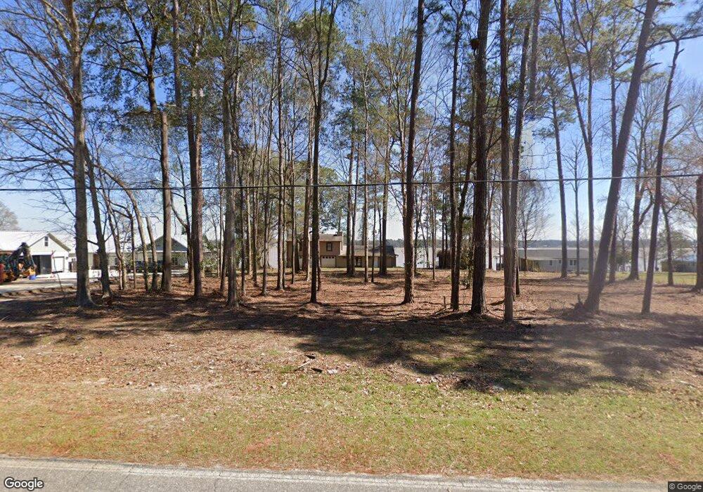
This home is located at 593 Flintside Dr, Cobb, GA 31735 and is currently estimated at $375,794, approximately $166 per square foot. 593 Flintside Dr is a home located in Sumter County with nearby schools including Sumter County Primary School, Sumter County Elementary School, and Sumter County Middle School.
Ownership History
Date
Name
Owned For
Owner Type
Purchase Details
Closed on
Aug 26, 2024
Sold by
Toland Alain Daniel
Bought by
Barmore Lane Barbara Mallory
Current Estimated Value
Purchase Details
Closed on
Jul 10, 1995
Sold by
Pounders Dea and Pounders Dori
Bought by
Toland Donald B
Purchase Details
Closed on
Apr 1, 1989
Sold by
Bagley G W
Bought by
Pounders Dea and Pounders Dori
Purchase Details
Closed on
Jan 5, 1989
Sold by
Bagley G W
Bought by
Bagley G W
Purchase Details
Closed on
Mar 1, 1927
Bought by
Bagley G W
Create a Home Valuation Report for This Property
The Home Valuation Report is an in-depth analysis detailing your home's value as well as a comparison with similar homes in the area
Purchase History
| Date | Buyer | Sale Price | Title Company |
|---|---|---|---|
| Barmore Lane Barbara Mallory | $240,000 | -- | |
| Toland Donald B | $110,000 | -- | |
| Pounders Dea | $48,000 | -- | |
| Bagley G W | -- | -- | |
| Bagley G W | -- | -- |
Source: Public Records
Tax History
| Year | Tax Paid | Tax Assessment Tax Assessment Total Assessment is a certain percentage of the fair market value that is determined by local assessors to be the total taxable value of land and additions on the property. | Land | Improvement |
|---|---|---|---|---|
| 2025 | $4,330 | $123,836 | $92,760 | $31,076 |
| 2024 | $4,330 | $123,836 | $92,760 | $31,076 |
| 2023 | $4,207 | $123,836 | $92,760 | $31,076 |
| 2022 | $4,207 | $123,836 | $92,760 | $31,076 |
| 2021 | $4,216 | $123,836 | $92,760 | $31,076 |
| 2020 | $4,347 | $123,836 | $92,760 | $31,076 |
| 2019 | $4,285 | $123,836 | $92,760 | $31,076 |
| 2018 | $4,285 | $123,836 | $92,760 | $31,076 |
| 2017 | $3,898 | $123,836 | $92,760 | $31,076 |
| 2016 | $4,288 | $123,836 | $92,760 | $31,076 |
| 2015 | -- | $115,876 | $77,320 | $38,556 |
Source: Public Records
Map
Nearby Homes
- 631 Flintside Dr
- 655 Flintside Dr
- 687 Flintside Dr
- 850 Scenic Route
- Lot 1, 2 Scenic Route
- 580 Scenic Route
- Lot 3,4 Scenic Route
- 418 Flintside Dr
- 115 Ellis Ct
- 0 Lot #3 & Part Lot#4 Unit 59461
- 153 Landing Rd
- 141 Landing Rd
- 147 Landing Rd
- 127 Landing Rd
- 600 Scenic Route
- 475 N Cedar Creek Rd
- 373 Ed Stephens Rd Unit E
- 377 Ed Stephens Rd
- 175 Flintside Dr
- 228 Cedar Point Cir
- 597 Flintside Dr
- 591 Flintside Dr
- 601 Flintside Dr
- 611 Flintside Dr
- 594 Flintside Dr
- 573 Flintside Dr
- 613 Flintside Dr
- 567 Flintside Dr
- 575 Flintside Dr
- 563 Flintside Dr
- 559 Flintside Dr
- 622 Flintside Dr
- 555 Flintside Dr
- 633 Flintside Dr
- 551 Flintside Dr
- 547 Flintside Dr
- 632 Flintside Dr
- 543 Flintside Dr
- 643 Flintside Dr
- 643 Flintside Dr
Your Personal Tour Guide
Ask me questions while you tour the home.