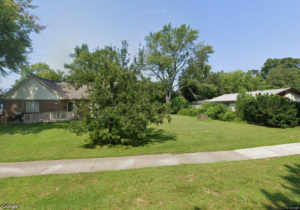
5956 Burr St Taylor, MI 48180
Estimated Value: $103,696 - $130,000
About This Home
This home is located at 5956 Burr St, Taylor, MI 48180 and is currently estimated at $117,674, approximately $147 per square foot. 5956 Burr St is a home located in Wayne County with nearby schools including Taylor Parks Elementary School, Hoover Middle School, and Quest Charter Academy.
Ownership History
We collect this data history from publicly available records. To have your information removed, we recommend requesting removal directly through your county’s website.
Purchase Details
Purchase Details
Purchase Details
Purchase Details
Purchase Details
Home Values in the Area
Average Home Value in this Area
Purchase History
We collect this data history from publicly available records. To have your information removed, we recommend requesting removal directly through your county’s website.
| Date | Buyer | Sale Price | Title Company |
|---|---|---|---|
| $3,600 | None Listed On Document | ||
| $6,334 | None Available | ||
| -- | None Available | ||
| $20,000 | 1St Security Title Agency In | ||
| $90,626 | None Available |
Tax History
We collect this data history from publicly available records. To have your information removed, we recommend requesting removal directly through your county’s website.
| Year | Tax Paid | Tax Assessment Tax Assessment Total Assessment is a certain percentage of the fair market value that is determined by local assessors to be the total taxable value of land and additions on the property. | Land | Improvement |
|---|---|---|---|---|
| 2025 | $169 | $4,200 | $0 | $0 |
| 2024 | $164 | $3,900 | $0 | $0 |
| 2023 | $213 | $3,600 | $0 | $0 |
| 2021 | $200 | $3,600 | $0 | $0 |
| 2020 | $204 | $3,600 | $0 | $0 |
| 2019 | $23,533 | $2,500 | $0 | $0 |
| 2018 | $1,209 | $19,700 | $0 | $0 |
| 2017 | $2,942 | $19,300 | $0 | $0 |
| 2016 | $3,252 | $18,700 | $0 | $0 |
| 2015 | $1,760 | $17,600 | $0 | $0 |
| 2013 | $1,980 | $20,500 | $0 | $0 |
| 2012 | $1,273 | $20,200 | $7,600 | $12,600 |
Map
- 5871 Cooper St
- 24315 Currier St
- 24819 Currier St
- 24045 Currier St
- 6430 Banner St
- 6038 Michael St
- 5635 Westpoint St
- 6550 Buck St
- 5689 Cornell St
- 24339 Eton Ave
- 5387 Vivian St
- 6602 Banner St
- 24117 Eton Ave
- 4856 Carolee Ln
- 4910 Westpoint St
- 25611 van Born Rd
- 24300 McDonald St
- 5904 Janet St
- 25220 Pennie St
- 00 S Telegraph Rd
Ask me questions while you tour the home.